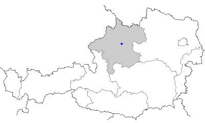
Wels (Wels)
- city in Upper Austria
Wels, located in Austria, is not typically known as a major hiking destination, but there are several nearby areas and trails that can offer enjoyable hiking experiences. Here are some key points about hiking around Wels:
-
Local Trails: Within the Wels region, you can find several paths and trails that cater to various skill levels. The terrain is generally flat, making it easy for beginners and families to explore.
-
Nature Parks: Nearby nature parks and reserves provide opportunities for scenic hikes. For instance, the Salzkammergut region and the nearby foothills of the Alps offer beautiful trails with stunning landscapes, lakes, and mountain views.
-
Along the Traun River: The Traun River runs close to Wels and has walking paths that are lovely for leisurely hikes. These trails allow hikers to enjoy the scenic riverscape and local flora and fauna.
-
Alpine Trails: A bit further out, the Alps provide many challenging hikes for experienced trekkers. You can reach various mountain regions within a short drive from Wels, where you can find well-marked hiking trails with stunning panoramic views.
-
Hiking Clubs and Events: There may be local hiking clubs or groups that organize hikes, offering a chance to meet fellow enthusiasts and explore new routes. Look for events on local tourism websites or community boards.
-
Seasonal Hiking: The best times to hike in the Wels area are generally late spring through early fall when the weather is mild, and the trails are easily accessible. In winter, you can find activities like snowshoeing or winter hiking in nearby alpine areas.
-
Hiking Preparation: Always check the weather before heading out, wear appropriate footwear, and consider bringing a map or GPS device. It’s a good idea to start with well-marked trails before venturing onto more challenging routes.
By exploring the surrounding nature and hills, you can find varied hiking experiences that suit your skill level and interests while enjoying the beauty of Austria's landscapes.
- Country:

- Local Dialing Code: 07242
- Licence Plate Code: WE
- Coordinates: 48° 9' 0" N, 14° 1' 0" E


- GPS tracks (wikiloc): [Link]
- AboveSeaLevel: 317 м m
- Area: 45.92 sq km
- Population: 61233
- Web site: http://www.wels.at/
- Wikipedia en: wiki(en)
- Wikipedia: wiki(de)
- Wikidata storage: Wikidata: Q178582
- Wikipedia Commons Category: [Link]
- Wikipedia Commons Maps Category: [Link]
- Freebase ID: [/m/01jqp5]
- GeoNames ID: Alt: [7871309]
- VIAF ID: Alt: [138393689]
- GND ID: Alt: [4107955-3]
- archINFORM location ID: [1384]
- MusicBrainz area ID: [9e481e2f-62fc-489c-a332-5fa8f48bdcde]
- Quora topic ID: [Wels-Austria]
- Encyclopædia Britannica Online ID: [place/Wels-Austria]
- Facebook Places ID: [107623432600472]
- Great Russian Encyclopedia Online ID: [1906191]
- Austrian municipality key: [40301]
- Digital Atlas of the Roman Empire ID: [3123]
- Pleiades ID: [118901]
- Klexikon article ID: [Wels_(Stadt)]
Shares border with regions:
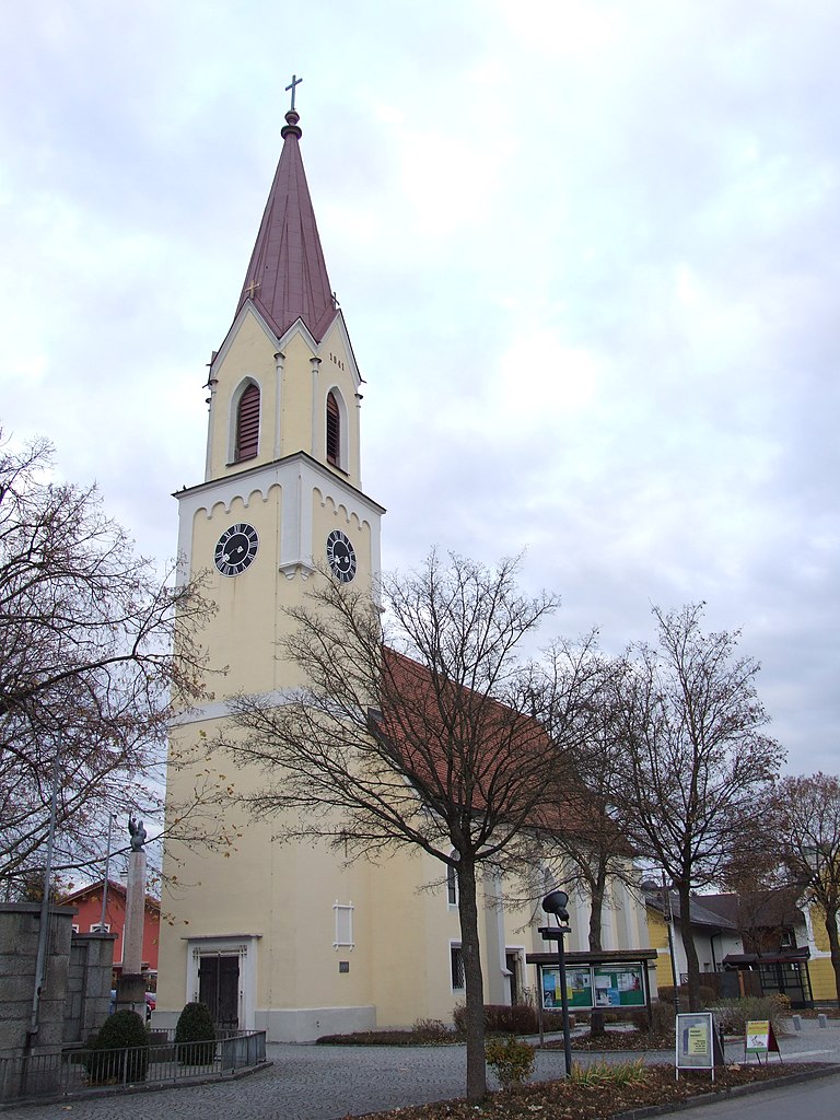
Marchtrenk
- municipality in Austria
Marchtrenk, located in Austria, offers a variety of outdoor activities, including hiking. While the area itself may not be as well known for extensive hiking trails as some national parks or mountainous regions, it is surrounded by beautiful landscapes, making it a pleasant destination for walkers and hikers....
- Country:

- Postal Code: 4614
- Local Dialing Code: 07243
- Licence Plate Code: WL
- Coordinates: 48° 11' 30" N, 14° 6' 38" E


- GPS tracks (wikiloc): [Link]
- AboveSeaLevel: 304 м m
- Area: 23 sq km
- Population: 13603
- Web site: [Link]
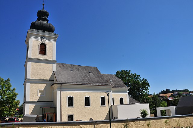
Krenglbach
- municipality in Austria
Krenglbach is a small municipality located in the Upper Austria region of Austria, near the city of Wels. While it may not be a well-known hiking destination compared to larger national parks or mountainous regions, it offers access to scenic trails and beautiful natural surroundings typical of the area....
- Country:

- Postal Code: 4631
- Local Dialing Code: 07249
- Licence Plate Code: WL
- Coordinates: 48° 12' 14" N, 13° 57' 25" E


- GPS tracks (wikiloc): [Link]
- AboveSeaLevel: 310 м m
- Area: 15 sq km
- Population: 3158
- Web site: [Link]

Thalheim bei Wels
- municipality in Austria
Thalheim bei Wels is a charming village in the Upper Austria region, known for its beautiful landscapes which are great for hiking enthusiasts. Here are some aspects you might find interesting about hiking in this area:...
- Country:

- Postal Code: 4600
- Local Dialing Code: 07242
- Licence Plate Code: WL
- Coordinates: 48° 9' 5" N, 14° 2' 18" E


- GPS tracks (wikiloc): [Link]
- AboveSeaLevel: 369 м m
- Area: 16 sq km
- Population: 5482
- Web site: [Link]

Steinhaus
- municipality in Austria
Steinhaus is a charming village located in the Tyrol region of Austria, surrounded by stunning alpine landscapes, making it a great destination for hiking enthusiasts. Here are some highlights and tips for hiking in the area:...
- Country:

- Postal Code: 4641
- Local Dialing Code: 0 72 42
- Licence Plate Code: WL
- Coordinates: 48° 6' 58" N, 14° 1' 14" E


- GPS tracks (wikiloc): [Link]
- AboveSeaLevel: 378 м m
- Area: 25 sq km
- Population: 2187
- Web site: [Link]
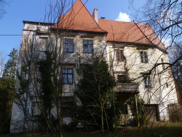
Schleißheim
- municipality in Austria
Schleißheim is a picturesque area located in Bavaria, Germany, not far from Munich. It offers a variety of hiking opportunities that cater to different skill levels....
- Country:

- Postal Code: 4600
- Local Dialing Code: 0 72 42
- Licence Plate Code: WL
- Coordinates: 48° 9' 39" N, 14° 5' 36" E


- GPS tracks (wikiloc): [Link]
- AboveSeaLevel: 317 м m
- Area: 7.55 sq km
- Population: 1389
- Web site: [Link]

Gunskirchen
- municipality in Austria
Gunskirchen, located in the Upper Austria region, is known for its picturesque landscapes and access to nature, making it a great spot for hiking enthusiasts. The area features a mix of rolling hills, forests, and scenic views that are characteristic of the Austrian countryside....
- Country:

- Postal Code: 4623
- Local Dialing Code: 07246
- Licence Plate Code: WL
- Coordinates: 48° 8' 4" N, 13° 56' 35" E


- GPS tracks (wikiloc): [Link]
- AboveSeaLevel: 352 м m
- Area: 36 sq km
- Population: 6037
- Web site: [Link]
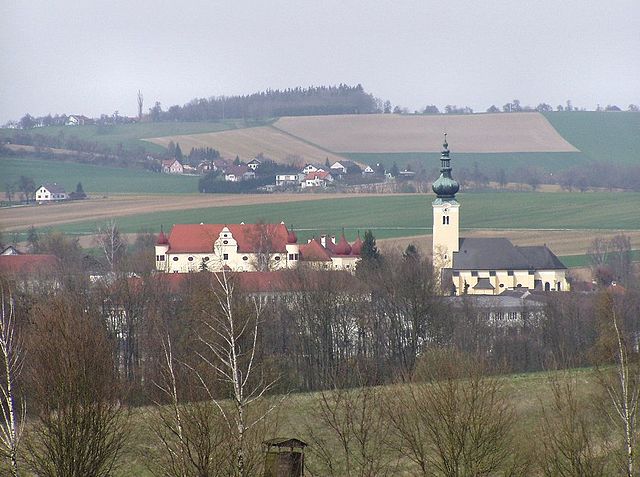
Buchkirchen
- municipality in Austria
Buchkirchen, a small municipality in Austria, is surrounded by picturesque landscapes that offer plenty of opportunities for hiking enthusiasts. The region boasts a mix of natural beauty, including forests, hills, and scenic views, making it an appealing destination for hikers of all skill levels....
- Country:

- Postal Code: 4611
- Licence Plate Code: WL
- Coordinates: 48° 13' 26" N, 14° 1' 12" E


- GPS tracks (wikiloc): [Link]
- AboveSeaLevel: 346 м m
- Area: 32 sq km
- Population: 4038
- Web site: [Link]
