Weyer (Weyer)

- commune in Bas-Rhin, France
- Country:

- Postal Code: 67320
- Coordinates: 48° 51' 15" N, 7° 9' 30" E


- GPS tracks (wikiloc): [Link]
- Area: 11.58 sq km
- Population: 591
- Web site: http://weyer.alsace.free.fr/
- Wikipedia en: wiki(en)
- Wikipedia: wiki(fr)
- Wikidata storage: Wikidata: Q22871
- Wikipedia Commons Category: [Link]
- Freebase ID: [/m/03m9s8f]
- Freebase ID: [/m/03m9s8f]
- GeoNames ID: Alt: [6441409]
- GeoNames ID: Alt: [6441409]
- SIREN number: [216705285]
- SIREN number: [216705285]
- BnF ID: [15271670q]
- BnF ID: [15271670q]
- INSEE municipality code: 67528
- INSEE municipality code: 67528
Shares border with regions:
Bettwiller
- commune in Bas-Rhin, France
- Country:
- Postal Code: 67320
- Coordinates: 48° 53' 11" N, 7° 10' 45" E
- GPS tracks (wikiloc): [Link]
- Area: 4.06 sq km
- Population: 309
Eywiller
- commune in Bas-Rhin, France
- Country:
- Postal Code: 67320
- Coordinates: 48° 52' 14" N, 7° 7' 52" E
- GPS tracks (wikiloc): [Link]
- Area: 4.69 sq km
- Population: 274

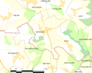
Siewiller
- commune in Bas-Rhin, France
- Country:
- Postal Code: 67320
- Coordinates: 48° 50' 39" N, 7° 12' 6" E
- GPS tracks (wikiloc): [Link]
- Area: 6.2 sq km
- Population: 390


Gungwiller
- commune in Bas-Rhin, France
- Country:
- Postal Code: 67320
- Coordinates: 48° 52' 52" N, 7° 9' 28" E
- GPS tracks (wikiloc): [Link]
- Area: 1.65 sq km
- Population: 281
- Web site: [Link]


Eschwiller
- commune in Bas-Rhin, France
- Country:
- Postal Code: 67320
- Coordinates: 48° 51' 34" N, 7° 6' 54" E
- GPS tracks (wikiloc): [Link]
- Area: 3.49 sq km
- Population: 187


Hirschland
- commune in Bas-Rhin, France
- Country:
- Postal Code: 67320
- Coordinates: 48° 50' 13" N, 7° 6' 43" E
- GPS tracks (wikiloc): [Link]
- Area: 10.73 sq km
- Population: 333

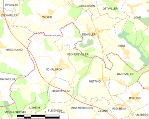
Veckersviller
- commune in Moselle, France
- Country:
- Postal Code: 57370
- Coordinates: 48° 50' 27" N, 7° 10' 47" E
- GPS tracks (wikiloc): [Link]
- Area: 4.79 sq km
- Population: 243


Schalbach
- commune in Moselle, France
- Country:
- Postal Code: 57370
- Coordinates: 48° 49' 22" N, 7° 10' 14" E
- GPS tracks (wikiloc): [Link]
- Area: 12.58 sq km
- Population: 336


Drulingen
- commune in Bas-Rhin, France
- Country:
- Postal Code: 67320
- Coordinates: 48° 52' 4" N, 7° 11' 28" E
- GPS tracks (wikiloc): [Link]
- Area: 4.49 sq km
- Population: 1491
- Web site: [Link]