Wolfisheim (Wolfisheim)

- commune in Bas-Rhin, France
- Country:

- Postal Code: 67202
- Coordinates: 48° 35' 12" N, 7° 39' 59" E


- GPS tracks (wikiloc): [Link]
- Area: 5.57 sq km
- Population: 4122
- Wikipedia en: wiki(en)
- Wikipedia: wiki(fr)
- Wikidata storage: Wikidata: Q21525
- Wikipedia Commons Category: [Link]
- Freebase ID: [/m/03m4czp]
- Freebase ID: [/m/03m4czp]
- GeoNames ID: Alt: [6441426]
- GeoNames ID: Alt: [6441426]
- SIREN number: [216705517]
- SIREN number: [216705517]
- BnF ID: [15271693c]
- BnF ID: [15271693c]
- VIAF ID: Alt: [243872988]
- VIAF ID: Alt: [243872988]
- PACTOLS thesaurus ID: [pcrtqII0cYOYic]
- PACTOLS thesaurus ID: [pcrtqII0cYOYic]
- WOEID: [632988]
- WOEID: [632988]
- INSEE municipality code: 67551
- INSEE municipality code: 67551
Shares border with regions:


Eckbolsheim
- commune in Bas-Rhin, France
- Country:
- Postal Code: 67201
- Coordinates: 48° 34' 44" N, 7° 41' 23" E
- GPS tracks (wikiloc): [Link]
- Area: 5.34 sq km
- Population: 6595

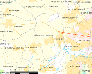
Oberschaeffolsheim
- commune in Bas-Rhin, France
- Country:
- Postal Code: 67203
- Coordinates: 48° 35' 8" N, 7° 38' 53" E
- GPS tracks (wikiloc): [Link]
- Area: 7.56 sq km
- Population: 2295

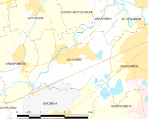
Holtzheim
- commune in Bas-Rhin, France
- Country:
- Postal Code: 67810
- Coordinates: 48° 33' 31" N, 7° 38' 28" E
- GPS tracks (wikiloc): [Link]
- Area: 6.91 sq km
- Population: 3577


Oberhausbergen
- commune in Bas-Rhin, France
- Country:
- Postal Code: 67205
- Coordinates: 48° 36' 24" N, 7° 41' 7" E
- GPS tracks (wikiloc): [Link]
- Area: 3.79 sq km
- Population: 5207
- Web site: [Link]