arrondissement of Strasbourg-Campagne (arrondissement de Strasbourg-Campagne)
- former arrondissement of France
- Country:

- Capital: Strasbourg
- Coordinates: 48° 35' 0" N, 7° 45' 0" E


- GPS tracks (wikiloc): [Link]
- Area: 684 sq km
- Wikipedia en: wiki(en)
- Wikipedia: wiki(fr)
- Wikidata storage: Wikidata: Q660855
- Freebase ID: [/m/095bgb]
- GeoNames ID: Alt: [2973782]
- INSEE arrondissement code: [676]
Includes regions:

canton of Hochfelden
- canton of France
- Country:
- Capital: Hochfelden
- Coordinates: 48° 45' 30" N, 7° 34' 13" E
- GPS tracks (wikiloc): [Link]


canton of Illkirch-Graffenstaden
- canton of France
- Country:
- Capital: Illkirch-Graffenstaden
- Coordinates: 48° 32' 0" N, 7° 43' 0" E
- GPS tracks (wikiloc): [Link]
- Area: 57.79 sq km
- Population: 48263


canton of Schiltigheim
- canton of France
- Country:
- Capital: Schiltigheim
- Coordinates: 48° 36' 0" N, 7° 45' 0" E
- GPS tracks (wikiloc): [Link]
- Population: 48955

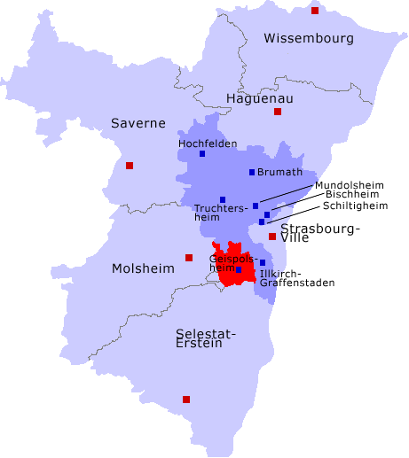
canton of Mundolsheim
- canton of France (until March 2015)
- Country:
- Capital: Mundolsheim
- Coordinates: 48° 39' 0" N, 7° 42' 0" E
- GPS tracks (wikiloc): [Link]


canton of Brumath
- canton of France
- Country:
- Capital: Brumath
- Coordinates: 48° 44' 0" N, 7° 43' 0" E
- GPS tracks (wikiloc): [Link]
- Population: 52244

canton of Truchtersheim
- canton of France (until March 2015)
- Country:
- Capital: Truchtersheim
- Coordinates: 48° 39' 47" N, 7° 36' 26" E
- GPS tracks (wikiloc): [Link]
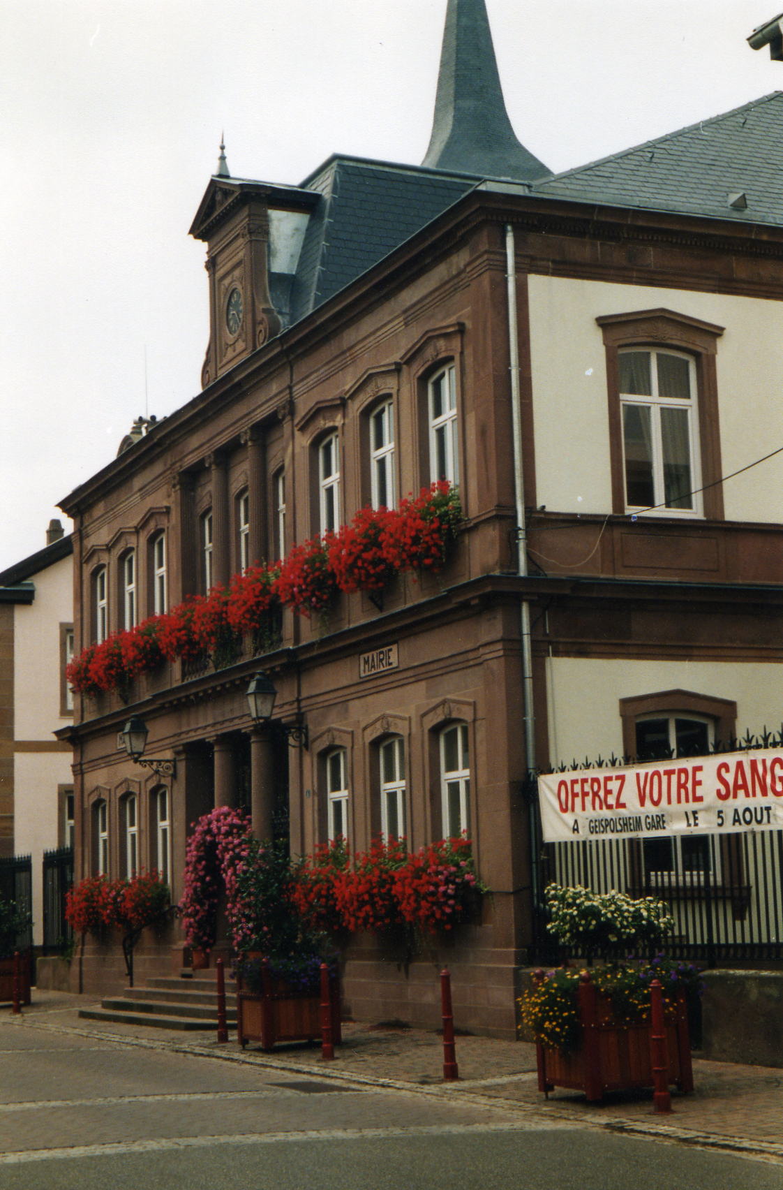
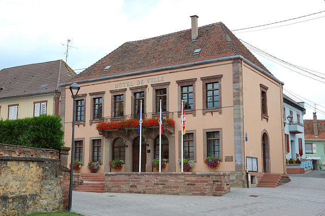
canton of Geispolsheim
- canton of France (until March 2015)
- Country:
- Capital: Geispolsheim
- Coordinates: 48° 31' 0" N, 7° 39' 0" E
- GPS tracks (wikiloc): [Link]
- Area: 97.4 sq km