Zone 5 of Milan (Municipio 5 di Milano)

- human settlement in Italy
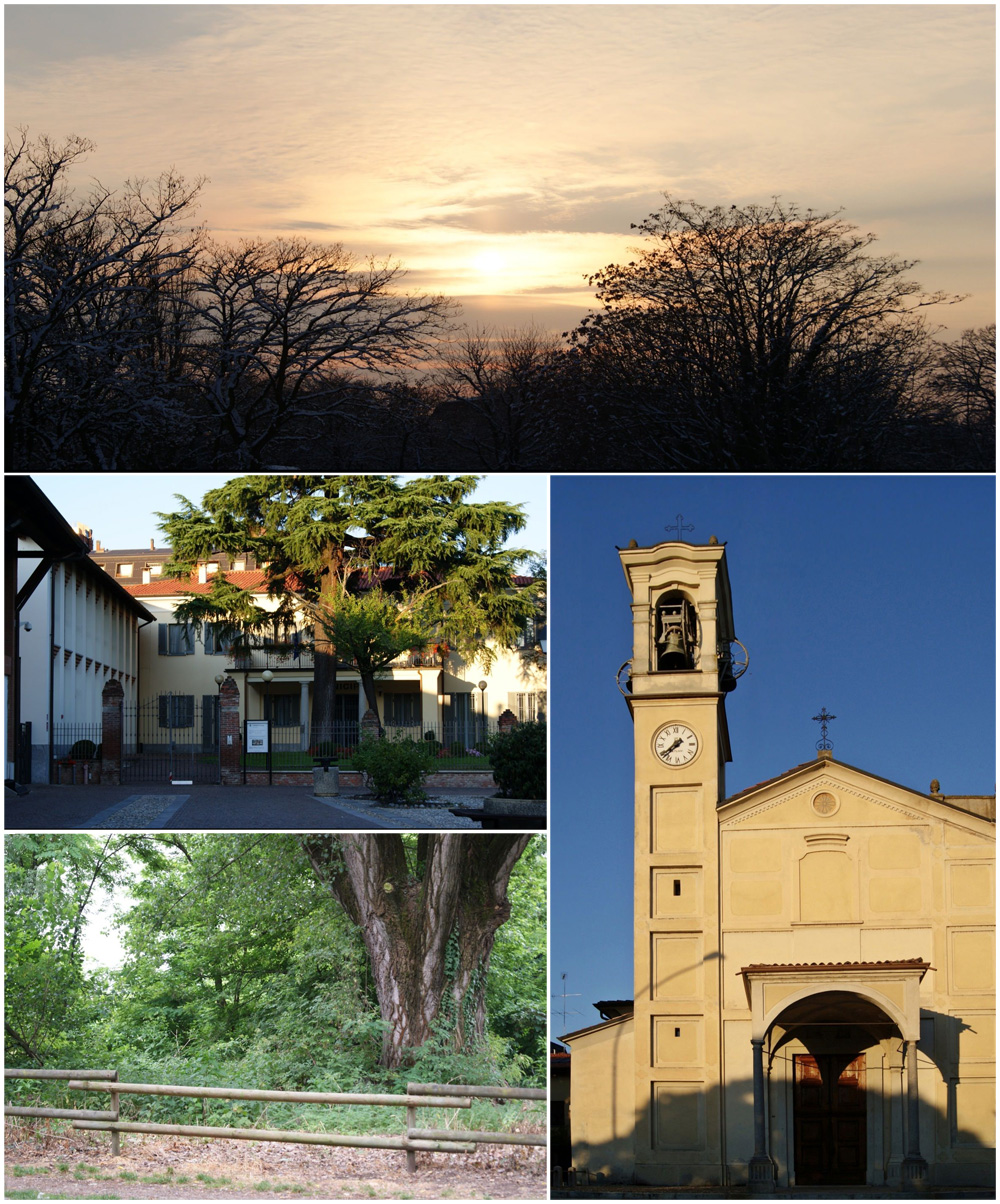
 Hiking in Zone 5 of Milan
Milan, while primarily known for its urban environment, also offers access to some hiking opportunities, especially in the surrounding areas and natural reserves. Zone 5 is located in the southeastern part of the city and is more residential, but it can still serve as a gateway to nearby hiking spots.
Here are a few options for hiking and outdoor activities in and around Zone 5:
-
Parco della Vettabbia: This park features trails along the Vettabbia River. It's a great spot for a leisurely walk or a run and offers a glimpse of nature within the urban landscape. The paths are not strenuous, making it suitable for all fitness levels.
-
Parco Sempione: While technically located a bit farther from Zone 5, this central park is easily accessible and features lovely walking paths, open spaces, and beautiful scenery, including the iconic Sforza Castle. It's perfect for a gentle hike in a more urban setting.
-
Navigli District: Walking along the Navigli canals combines urban hiking with beautiful waterways. The canals provide a scenic route that can be enjoyed by foot or by bike, offering a different perspective of Milan.
-
Hiking Outside the City: For those willing to travel a bit further, the nearby hills and lakes are accessible within a short drive or train ride from Milan. Areas like the Brianza region and Lake Como offer excellent hiking trails with varying levels of difficulty and stunning views.
-
Monte Stella: This artificial hill in the city offers a unique hiking experience with paths that lead to the top, providing a panoramic view of Milan. It’s a popular spot for local walkers and joggers.
Before heading out, make sure to check the weather and trail conditions, wear appropriate footwear, and bring plenty of water and snacks. Happy hiking!
- Country:

- Local Dialing Code: 02
- Coordinates: 45° 25' 19" N, 9° 11' 35" E


- GPS tracks (wikiloc): [Link]
- Area: 29.87 sq km
- Population: 123436
- Wikipedia en: wiki(en)
- Wikipedia: wiki(it)
- Wikidata storage: Wikidata: Q2648246
- Wikipedia Commons Category: [Link]
- Freebase ID: [/m/0nbv2rf]
- archINFORM location ID: [46235]
Shares border with regions:


Municipio 1 of Milan
- one of the 9 administrative zones of Milan, Italy
Hiking in Municipio 1 of Milan
Milan, while primarily known as an urban center, has several beautiful parks and green spaces that could be explored through short hikes or nature walks. Zone 1, which is the city's central area, offers various options that cater to those looking to enjoy nature without leaving the city....
- Country:
- Coordinates: 45° 27' 51" N, 9° 11' 25" E
- GPS tracks (wikiloc): [Link]
- Area: 9.67 sq km
- Web site: [Link]


Zone 4 of Milan
- zone of Milan
Hiking in Zone 4 of Milan
Zone 4 of Milan is not primarily known for hiking in the traditional sense, as it is more urban and developed compared to the surrounding natural areas. However, there are several parks and green spaces where you can enjoy walking, running, and casual hiking within the city....
- Country:
- Coordinates: 45° 25' 54" N, 9° 14' 41" E
- GPS tracks (wikiloc): [Link]
- Area: 20.95 sq km
- Web site: [Link]

Municipio 6 of Milan
- one of the 9 administrative zones of Milan, Italy
Hiking in Municipio 6 of Milan
Zone 6 of Milan is primarily an urban area, known for its mix of residential buildings, parks, and commercial zones. While it may not be recognized as a traditional hiking destination, there are still opportunities for outdoor activities and walking routes that can provide a local hiking experience. Here are some highlights and suggestions for exploring outdoor areas in and around Zone 6:...
- Country:
- Coordinates: 45° 26' 24" N, 9° 9' 21" E
- GPS tracks (wikiloc): [Link]
- Area: 18.28 sq km


San Donato Milanese
- Italian comune
Hiking in San Donato Milanese
San Donato Milanese, located just south of Milan, is primarily known as a residential and business district rather than a hiking destination. However, there are various options for outdoor lovers in and around the area....
- Country:
- Postal Code: 20097
- Local Dialing Code: 02
- Licence Plate Code: MI
- Coordinates: 45° 25' 0" N, 9° 16' 0" E
- GPS tracks (wikiloc): [Link]
- AboveSeaLevel: 102 м m
- Area: 12.88 sq km
- Population: 32416
- Web site: [Link]


Rozzano
- Italian comune
Hiking in Rozzano
Rozzano is a town located in the Lombardy region of Italy, approximately 10 kilometers south of Milan. While Rozzano itself is more urban and primarily residential, it serves as a convenient starting point for exploring the nearby natural areas and parks suitable for hiking....
- Country:
- Postal Code: 20089
- Local Dialing Code: 02
- Licence Plate Code: MI
- Coordinates: 45° 23' 0" N, 9° 9' 0" E
- GPS tracks (wikiloc): [Link]
- AboveSeaLevel: 103 м m
- Area: 12.24 sq km
- Population: 42417
- Web site: [Link]

Assago
- Italian comune
Hiking in Assago
Assago, located in the Lombardy region of Italy, is predominantly known as an urban area, but it offers access to some scenic walking and hiking opportunities nearby. While Assago itself may not have extensive hiking trails, you can find beautiful natural areas within a short drive or public transport ride from the town....
- Country:
- Postal Code: 20090
- Local Dialing Code: 02
- Licence Plate Code: MI
- Coordinates: 45° 24' 0" N, 9° 8' 0" E
- GPS tracks (wikiloc): [Link]
- AboveSeaLevel: 110 м m
- Area: 8.05 sq km
- Population: 9008
- Web site: [Link]
Opera
- Italian comune
Hiking in Opera
Hiking in Opera, a small town in the Lombardy region of Italy, offers a unique blend of natural beauty and cultural experiences. While Opera itself is not immediately known for extensive hiking trails, it is situated near the metropolitan area of Milan and surrounded by several beautiful parks and nature reserves that provide excellent opportunities for outdoor activities....
- Country:
- Postal Code: 20090
- Local Dialing Code: 02
- Licence Plate Code: MI
- Coordinates: 45° 23' 0" N, 9° 13' 0" E
- GPS tracks (wikiloc): [Link]
- AboveSeaLevel: 99 м m
- Area: 7.64 sq km
- Population: 13783
- Web site: [Link]