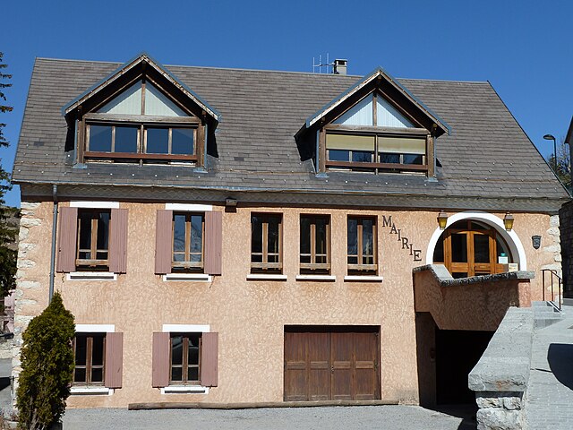
Пеллафоль (Pellafol, Pellafol)

- коммуна во Франции
 Hiking in Пеллафоль
Pellafol, a picturesque village located in the Isère department of the Auvergne-Rhône-Alpes region in France, is a hidden gem for hiking enthusiasts. Nestled in the foothills of the French Alps, it offers stunning landscapes, diverse flora and fauna, and a variety of trails suitable for all skill levels.
Hiking Trails
-
Le Col de la Morte: This trail offers a moderate hike with beautiful views of the surrounding mountains and valleys. It’s well-marked and features a combination of forest paths and open meadows.
-
Les Crêtes de Pellafol: A more challenging trail that rewards hikers with spectacular panoramic views. The climb involves higher elevation, suitable for those looking for a rigorous hike.
-
Lakes and Waterfalls Trail: This path leads you to some of the area's serene lakes and hidden waterfalls. It's an easier trail perfect for families and those looking to enjoy nature at a leisurely pace.
Flora and Fauna
The region around Pellafol is rich in biodiversity. You'll encounter a variety of plant species, including wildflowers in the warmer months. Wildlife such as deer, chamois, and various bird species can also be spotted along these trails.
Best Time to Visit
The best time for hiking in Pellafol is typically from late spring to early fall (May to September). During these months, you'll find pleasant weather and accessible trails. However, if you're interested in winter hiking or snowshoeing, ensure to check local conditions and trail access.
Preparation and Tips
- Gear: Wear sturdy hiking boots and dress in layers, as temperatures can change quickly.
- Water and Snacks: Always carry enough water and some snacks to maintain energy levels during hikes.
- Maps and Navigation: While many trails are well-marked, having a detailed map or GPS can be very helpful, especially for less traveled paths.
- Local Regulations: Follow local guidelines regarding trail use to help preserve the natural environment.
Conclusion
Hiking in Pellafol offers a charming escape into nature, with trails that cater to all levels of experience. Whether you're after a tranquil stroll or an invigorating trek, Pellafol’s natural beauty will leave you inspired.
- Страна:

- Почтовый код: 38970
- Координаты: 44° 47' 51" N, 5° 54' 27" E


- GPS треки (wikiloc): [Ссылка]
- Площадь: 34.73 кв.км
- Население: 137
- Википедия русская: wiki(ru)
- Википедия английская: wiki(en)
- Википедия национальная: wiki(fr)
- Хранилище Wikidata: Wikidata: Q1150824
- Катеория в википедии: [Ссылка]
- код Freebase: [/m/02ptxfy]
- код GeoNames: Альт: [6433282]
- номер SIREN: [213802994]
- код BNF: [152581113]
- код VIAF: Альт: [246961335]
- код муниципалитета INSEE: 38299
Граничит с регионами:


Корп
- коммуна во Франции
Hiking in Корп
Hiking in Corps, Isère, is a fantastic experience for outdoor enthusiasts, thanks to its stunning natural landscapes and diverse trails. Located in the French Alps, this charming commune serves as a gateway to the Écrins National Park, which boasts dramatic mountain scenery, glacial lakes, and rugged terrain....
- Страна:
- Почтовый код: 38970
- Координаты: 44° 49' 6" N, 5° 56' 49" E
- GPS треки (wikiloc): [Ссылка]
- Площадь: 11.22 кв.км
- Население: 478
- Веб сайт: [Ссылка]


Амбель
Hiking in Амбель
Hiking in Ambel, located in the Isère department of the Auvergne-Rhône-Alpes region in France, offers a serene experience surrounded by beautiful landscapes, mountainous terrain, and rich biodiversity. Here are some key points to know about hiking in this area:...
- Страна:
- Почтовый код: 38970
- Координаты: 44° 48' 18" N, 5° 55' 50" E
- GPS треки (wikiloc): [Ссылка]
- Площадь: 4.83 кв.км
- Население: 22


Кордеак
- коммуна во Франции
Hiking in Кордеак
Cordéac is a small village located in the French Alps, offering stunning natural landscapes ideal for hiking. The region is well-suited for both experienced hikers and those looking for gentler trails. Here are some highlights to consider when hiking in Cordéac:...
- Страна:
- Почтовый код: 38710
- Координаты: 44° 49' 38" N, 5° 50' 17" E
- GPS треки (wikiloc): [Ссылка]
- Площадь: 26.62 кв.км
- Население: 200


Монестье-д'Амбель
- коммуна во Франции
Hiking in Монестье-д'Амбель
Monestier-d'Ambel is a picturesque commune located in the Isère department in the Auvergne-Rhône-Alpes region of southeastern France. Nestled in the French Alps, it offers a variety of hiking opportunities for outdoor enthusiasts. Here are some details about hiking in this area:...
- Страна:
- Почтовый код: 38970
- Координаты: 44° 46' 40" N, 5° 55' 37" E
- GPS треки (wikiloc): [Ссылка]
- Площадь: 11.02 кв.км
- Население: 22
- Веб сайт: [Ссылка]

Сен-Дидье
- коммуна во Франции
Hiking in Сен-Дидье
Saint-Disdier, located in the Hautes-Alpes region of France, offers a wonderful environment for hiking enthusiasts. Surrounded by the stunning landscapes of the Southern French Alps, the area is known for its picturesque trails, diverse ecosystems, and breathtaking views....
- Страна:
- Почтовый код: 05250
- Координаты: 44° 44' 0" N, 5° 54' 0" E
- GPS треки (wikiloc): [Ссылка]
- Высота над уровнем моря: 1040 м m
- Население: 139


Сен-Бодий-э-Пипе
- коммуна во Франции
Hiking in Сен-Бодий-э-Пипе
Saint-Baudille-et-Pipet is a charming commune located in the Auvergne-Rhône-Alpes region of France, surrounded by beautiful natural landscapes that are perfect for hiking enthusiasts. The area offers a variety of trails that cater to different skill levels, making it an excellent destination for both novices and experienced hikers....
- Страна:
- Почтовый код: 38710
- Координаты: 44° 47' 3" N, 5° 46' 7" E
- GPS треки (wikiloc): [Ссылка]
- Площадь: 35.97 кв.км
- Население: 257
Деволюи
- коммуна во Франции
Hiking in Деволюи
Le Dévoluy is a stunning mountain range located in the French Alps, known for its diverse landscapes, breathtaking scenery, and extensive hiking opportunities. Whether you're an experienced hiker or a beginner, there's something for everyone in this area....
- Страна:
- Почтовый код: 05250
- Координаты: 44° 41' 33" N, 5° 56' 28" E
- GPS треки (wikiloc): [Ссылка]
- Площадь: 186.37 кв.км
- Население: 1011
- Веб сайт: [Ссылка]


Треминис
- коммуна во Франции
Hiking in Треминис
Tréminis is a charming village located in the Isère department of the Auvergne-Rhône-Alpes region in southeastern France. It’s known for its beautiful landscapes and outdoor activities, making it a great spot for hiking enthusiasts....
- Страна:
- Почтовый код: 38710
- Координаты: 44° 44' 51" N, 5° 46' 8" E
- GPS треки (wikiloc): [Ссылка]
- Площадь: 49.4 кв.км
- Население: 180


Кет-ан-Бомон
- коммуна во Франции
Hiking in Кет-ан-Бомон
Quet-en-Beaumont is a charming destination for hiking enthusiasts. Nestled in the beautiful surroundings of the French Alps, this area offers a range of hiking trails suitable for various skill levels. Here are some key points to consider for your hiking adventure in Quet-en-Beaumont:...
- Страна:
- Почтовый код: 38970
- Координаты: 44° 50' 5" N, 5° 52' 25" E
- GPS треки (wikiloc): [Ссылка]
- Площадь: 8.1 кв.км
- Население: 65