Сервоз (Servoz, Servoz)

- коммуна во Франции
 Hiking in Сервоз
Servoz, a charming village in the Haute-Savoie region of the French Alps, offers a variety of hiking opportunities for outdoor enthusiasts of all levels. Nestled at the foot of the Mont Blanc massif, it provides stunning views and access to scenic trails amidst beautiful alpine landscapes. Here are some highlights of hiking in Servoz:
-
Trail Varieties: There are several well-marked trails suitable for different experience levels. Beginners can enjoy gentler paths, while more experienced hikers can tackle challenging routes that lead to higher altitudes.
-
Scenic Routes: One of the most popular hikes is the path to the "Nant Borrant" waterfall, which offers a picturesque view of cascading waters surrounded by lush vegetation. The trails often provide breathtaking views of Mont Blanc and the surrounding peaks.
-
Wildlife Observation: As you hike, keep an eye out for local wildlife. The area is home to various species including chamois, marmots, and a wide range of birds, making it a great spot for nature lovers and photographers.
-
Seasonal Considerations: Summer is the peak season for hiking, but autumn offers beautiful foliage. If you're considering a hike in late spring or early autumn, be aware of weather changes and trail conditions.
-
Access and Amenities: Servoz is easily accessible from nearby towns like Chamonix and Les Houches. The village has local accommodations, restaurants, and shops to support hikers before and after their adventures.
-
Guided Tours: If you're unfamiliar with the area or would like to enhance your experience, consider joining a guided hike. Local guides can provide insights into the flora, fauna, and history of the region.
-
Safety and Preparation: Always check the weather forecast before heading out, wear appropriate hiking gear, and carry sufficient water and snacks. Some trails may require basic mountaineering skills, so assess your fitness and experience before embarking on more challenging paths.
Overall, hiking in Servoz allows you to take in the natural beauty of the Alps, offering routes that cater to a wide range of interests and abilities. Enjoy your trekking experience!
- Страна:

- Почтовый код: 74310
- Координаты: 45° 55' 50" N, 6° 46' 2" E


- GPS треки (wikiloc): [Ссылка]
- Площадь: 13.47 кв.км
- Население: 916
- Википедия английская: wiki(en)
- Википедия национальная: wiki(fr)
- Хранилище Wikidata: Wikidata: Q767209
- Катеория в википедии: [Ссылка]
- код Freebase: [/m/03ntzm5]
- код GeoNames: Альт: [6443054]
- номер SIREN: [217402668]
- код BNF: [15274520m]
- код VIAF: Альт: [245831114]
- код TGN: [1035711]
- код муниципалитета INSEE: 74266
Граничит с регионами:


Passy
Hiking in Passy
Passy, located in the Haute-Savoie region of France, is a beautiful destination for hiking enthusiasts with its stunning alpine scenery and diverse trails. Here are some highlights and tips for hiking in and around Passy:...
- Страна:
- Почтовый код: 74480
- Координаты: 45° 55' 25" N, 6° 41' 11" E
- GPS треки (wikiloc): [Ссылка]
- Площадь: 80.03 кв.км
- Население: 11011
- Веб сайт: [Ссылка]


Лез-Уш
- коммуна во Франции, горнолыжный альпийский курорт
Hiking in Лез-Уш
Les Houches is a beautiful village located in the Chamonix Valley of the French Alps, and it offers a wide variety of hiking opportunities suitable for all skill levels. Here are some highlights and information regarding hiking in Les Houches:...
- Страна:
- Почтовый код: 74310
- Координаты: 45° 53' 24" N, 6° 47' 55" E
- GPS треки (wikiloc): [Ссылка]
- Высота над уровнем моря: 1001 м m
- Площадь: 43.07 кв.км
- Население: 2934
- Веб сайт: [Ссылка]
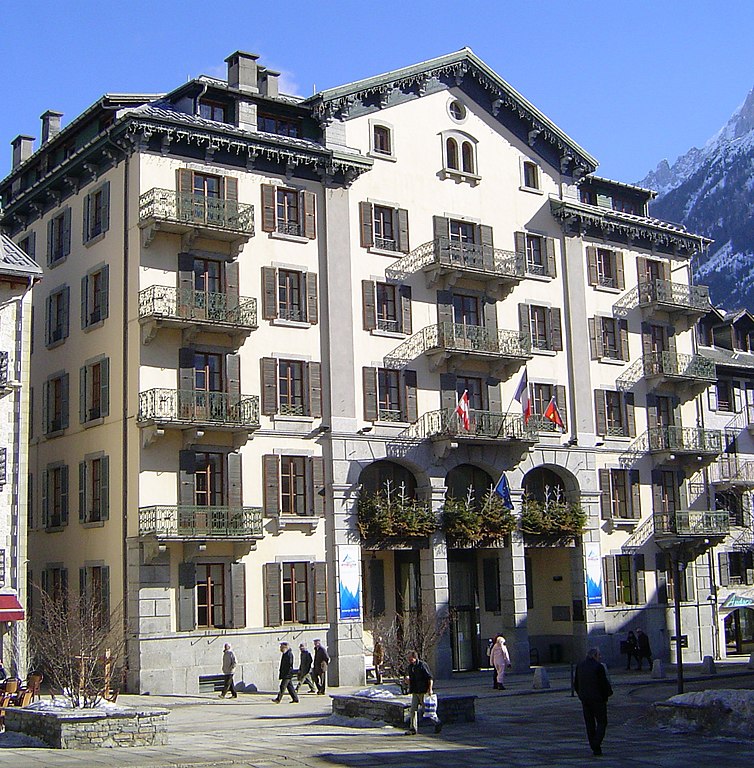

Шамони-Мон-Блан
- коммуна во Франции
Hiking in Шамони-Мон-Блан
Chamonix, located in the French Alps, is a renowned destination for hiking enthusiasts of all levels. Nestled at the foot of Mont Blanc, the highest mountain in Western Europe, Chamonix offers stunning landscapes, diverse terrain, and a variety of trails to explore. Here are some key points to consider when hiking in Chamonix:...
- Страна:
- Почтовый код: 74400
- Координаты: 45° 55' 20" N, 6° 52' 8" E
- GPS треки (wikiloc): [Ссылка]
- Высота над уровнем моря: 1030 м m
- Площадь: 116.53 кв.км
- Население: 8906
- Веб сайт: [Ссылка]