.jpg)
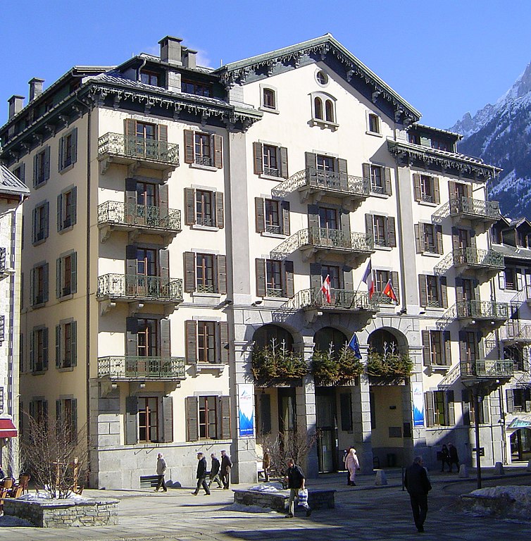
Лез-Уш (Les Houches, Les Houches)

- коммуна во Франции, горнолыжный альпийский курорт
 Hiking in Лез-Уш
Les Houches is a beautiful village located in the Chamonix Valley of the French Alps, and it offers a wide variety of hiking opportunities suitable for all skill levels. Here are some highlights and information regarding hiking in Les Houches:
Scenic Trails
-
The Bellevue Plateau: This area provides stunning panoramic views of Mont Blanc. It is accessible via a cable car, and there are several easy hiking trails that start from the plateau, making it perfect for families and less experienced hikers.
-
The Les Houches to Les Contamines Walk: This moderate trail takes you through forests and meadows with beautiful alpine scenery. It connects Les Houches to the neighboring village of Les Contamines, offering a lovely day hike.
-
The Gorges de la Diosaz: A short hike that leads you through a narrow gorge with waterfalls and stunning rock formations. It’s an easy trail that’s great for families.
-
Col de Voza: This is a more challenging hike that rewards you with breathtaking views and a closer look at the Mont Blanc Massif. It generally takes a few hours to complete.
Difficulty Levels
Hiking trails in and around Les Houches cater to all levels, from easy flat walks suitable for beginners to challenging mountain routes for experienced trekkers. Always check trail markers and maps for difficulty ratings.
Preparation
- Gear: Wear appropriate hiking boots and clothing. A hat and sunglasses for sun protection, along with sunscreen, are also advisable.
- Water & Snacks: Carry plenty of water and light snacks to keep your energy levels up.
- Maps & GPS: Make sure to have a map of the trails or use a hiking app on your smartphone for navigation.
- Weather Check: The weather in the Alps can change rapidly, so check forecasts and be prepared for sudden changes.
Wildlife and Flora
Hiking in Les Houches offers the chance to see a variety of wildlife, including chamois, marmots, and various bird species. The flora in the region is also beautiful, with wildflowers adorning the trails during the summer months.
Accessibility
Les Houches is well connected by public transport to Chamonix and other nearby villages, making it easy to start your hikes from various locations.
Local Culture
While hiking, take the time to enjoy the local culture. You can stop in small mountain huts (chalets) for refreshments or enjoy a picnic with local cheese and bread.
Overall, hiking in Les Houches is an unforgettable experience, offering breathtaking views, diverse trails, and a chance to immerse yourself in the alpine environment. Don’t forget your camera to capture the stunning landscapes!
- Страна:

- Почтовый код: 74310
- Координаты: 45° 53' 24" N, 6° 47' 55" E


- GPS треки (wikiloc): [Ссылка]
- Высота над уровнем моря: 1001 м m
- Площадь: 43.07 кв.км
- Население: 2934
- Веб сайт: http://www.leshouches.fr
- Википедия русская: wiki(ru)
- Википедия английская: wiki(en)
- Википедия национальная: wiki(fr)
- Хранилище Wikidata: Wikidata: Q735362
- Катеория в википедии: [Ссылка]
- код Freebase: [/m/040xht]
- код GeoNames: Альт: [6456423]
- номер SIREN: [217401439]
- код BNF: [152744012]
- код VIAF: Альт: [147176499]
- код LCNAF: Альт: [n80060360]
- код муниципалитета INSEE: 74143
Граничит с регионами:


Passy
Hiking in Passy
Passy, located in the Haute-Savoie region of France, is a beautiful destination for hiking enthusiasts with its stunning alpine scenery and diverse trails. Here are some highlights and tips for hiking in and around Passy:...
- Страна:
- Почтовый код: 74480
- Координаты: 45° 55' 25" N, 6° 41' 11" E
- GPS треки (wikiloc): [Ссылка]
- Площадь: 80.03 кв.км
- Население: 11011
- Веб сайт: [Ссылка]


Сен-Жерве-ле-Бен
- коммуна во Франции
Hiking in Сен-Жерве-ле-Бен
Saint-Gervais-les-Bains, located in the Haute-Savoie region of the French Alps, is a fantastic destination for hiking enthusiasts. This charming alpine town is not only known for its ski resort but also offers a myriad of hiking trails suitable for all levels, from beginners to experienced hikers....
- Страна:
- Почтовый код: 74190
- Координаты: 45° 53' 33" N, 6° 42' 49" E
- GPS треки (wikiloc): [Ссылка]
- Площадь: 63.63 кв.км
- Население: 5534
- Веб сайт: [Ссылка]


Сервоз
- коммуна во Франции
Hiking in Сервоз
Servoz, a charming village in the Haute-Savoie region of the French Alps, offers a variety of hiking opportunities for outdoor enthusiasts of all levels. Nestled at the foot of the Mont Blanc massif, it provides stunning views and access to scenic trails amidst beautiful alpine landscapes. Here are some highlights of hiking in Servoz:...
- Страна:
- Почтовый код: 74310
- Координаты: 45° 55' 50" N, 6° 46' 2" E
- GPS треки (wikiloc): [Ссылка]
- Площадь: 13.47 кв.км
- Население: 916

Шамони-Мон-Блан
- коммуна во Франции
Hiking in Шамони-Мон-Блан
Chamonix, located in the French Alps, is a renowned destination for hiking enthusiasts of all levels. Nestled at the foot of Mont Blanc, the highest mountain in Western Europe, Chamonix offers stunning landscapes, diverse terrain, and a variety of trails to explore. Here are some key points to consider when hiking in Chamonix:...
- Страна:
- Почтовый код: 74400
- Координаты: 45° 55' 20" N, 6° 52' 8" E
- GPS треки (wikiloc): [Ссылка]
- Высота над уровнем моря: 1030 м m
- Площадь: 116.53 кв.км
- Население: 8906
- Веб сайт: [Ссылка]