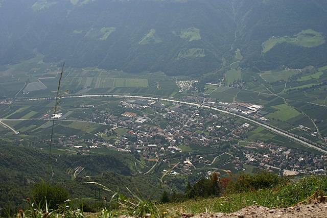
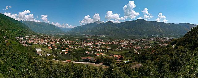
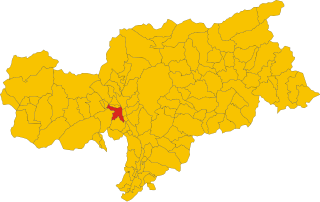
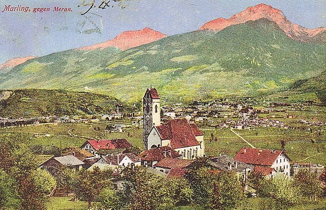
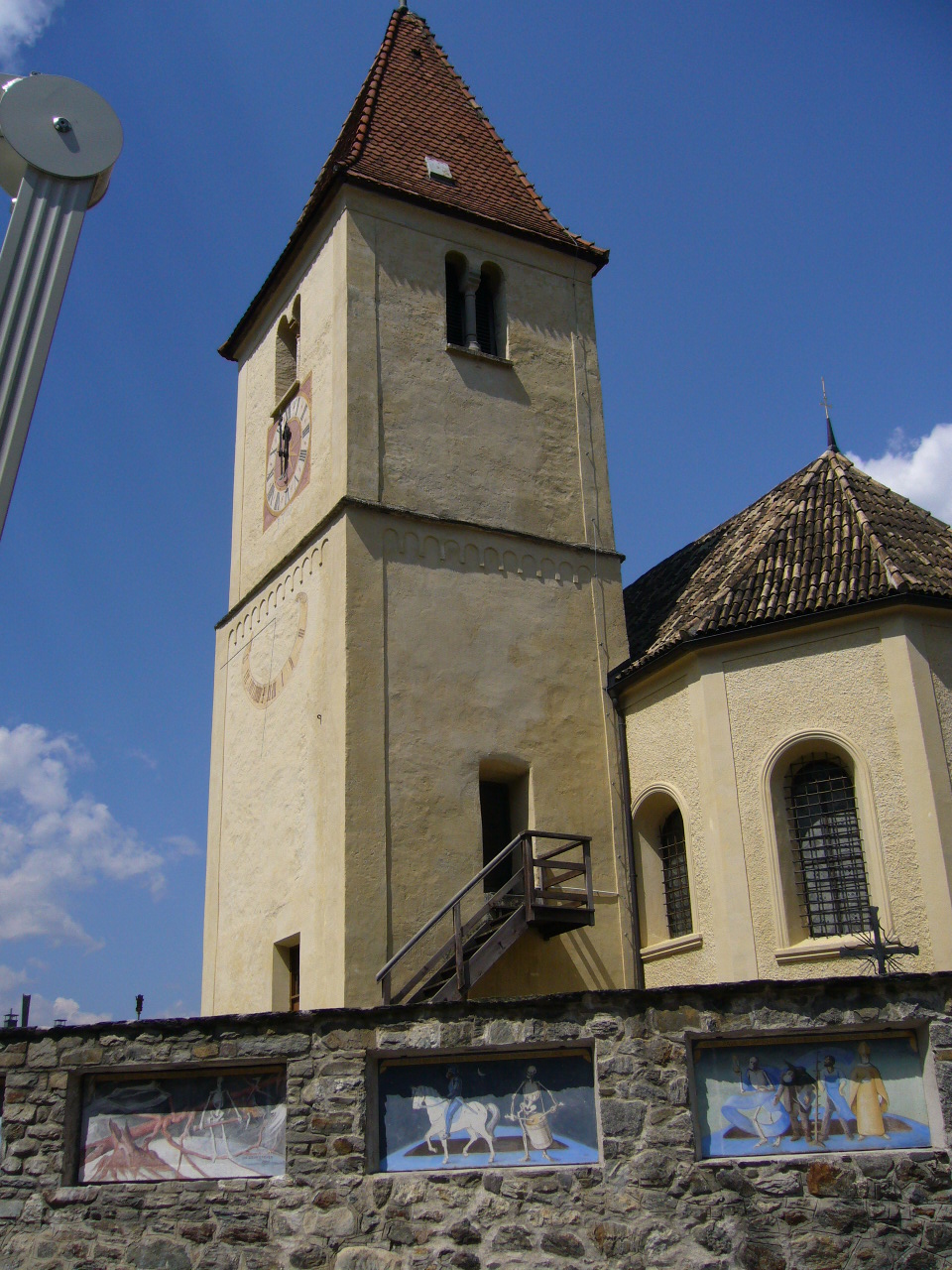
Algund (Lagundo)
.svg)
- Italian comune
 Hiking in Algund
Algund, a picturesque village located near Merano in South Tyrol, Italy, is an excellent destination for hiking enthusiasts. It boasts stunning views of the surrounding mountains and valleys, along with diverse trails catering to different skill levels. Here are some highlights of hiking in Algund:
1.
Algund offers a variety of trails ranging from easy walks to challenging hikes. You can enjoy leisurely strolls through vineyards, more strenuous mountain ascents, or scenic trails along the Adige River.
2.
The area is known for its breathtaking landscapes. Many trails provide panoramic views of the Merano valley, the Texel Group mountains, and the charming orchards and vineyards that characterize the region.
3.
- Algund to Lagundo: A relatively easy trail that takes you through beautiful orchards with impressive views.
- Tappeinerweg: This panoramic walkway connects Algund with Merano, featuring beautiful gardens, statues, and viewpoints.
- Ötztal Trail: A more demanding hike that provides stunning alpine scenery, suitable for experienced hikers.
4.
The area is rich in biodiversity. While hiking, keep an eye out for various species of plants and wildlife, which can provide delightful surprises along the trails.
5.
Different seasons offer unique hiking experiences. Spring brings flowers, summer offers lush greenery, autumn showcases vibrant foliage, and winter can transform the area into a snowy wonderland, suitable for winter hiking and snowshoeing.
6.
Algund is accessible via public transportation from larger towns like Merano and Bolzano, making it convenient for day hikes or short excursions.
7.
You'll find several mountain huts along the trails where you can rest and enjoy local cuisine. Some trails may also have picnic areas.
8.
If you're new to the area or prefer to hike with a guide, consider joining organized hikes that can provide insight and enhance your experience in this beautiful region.
Tips for Hiking in Algund:
- Footwear: Wear sturdy hiking shoes suitable for various terrains.
- Weather: Check the weather before heading out, as conditions can change quickly in the mountains.
- Hydration: Carry sufficient water, especially on longer hikes.
- Leave No Trace: Respect the environment by following the Leave No Trace principles.
Enjoy your hiking adventure in Algund! Each trail offers a unique glimpse into the natural beauty and culture of South Tyrol.
- Country:

- Postal Code: 39022
- Local Dialing Code: 0473
- Licence Plate Code: BZ
- Coordinates: 46° 41' 0" N, 11° 8' 0" E


- GPS tracks (wikiloc): [Link]
- AboveSeaLevel: 2600 м m
- Area: 23.68 sq km
- Population: 5042
- Web site: http://www.comune.lagundo.bz.it/system/web/default.aspx?sprache=3
- Wikipedia en: wiki(en)
- Wikipedia: wiki(it)
- Wikidata storage: Wikidata: Q419942
- Wikipedia Commons Gallery: [Link]
- Wikipedia Commons Category: [Link]
- Freebase ID: [/m/0g9gs_]
- GeoNames ID: Alt: [6535902]
- VIAF ID: Alt: [128857659]
- OSM relation ID: [47284]
- GND ID: Alt: [4001184-7]
- Library of Congress authority ID: Alt: [n80118100]
- TGN ID: [1045000]
- UN/LOCODE: [ITLGD]
- ISTAT ID: 021038
- Italian cadastre code: E412
Shares border with regions:


Merano
- Italian comune
Hiking in Merano
Merano, located in South Tyrol, Italy, is a stunning destination for hiking enthusiasts. Nestled in the mountains, it offers a beautiful combination of alpine scenery, Mediterranean climate, and rich cultural heritage. Here are some highlights about hiking in and around Merano:...
- Country:
- Postal Code: 39012
- Local Dialing Code: 0473
- Licence Plate Code: BZ
- Coordinates: 46° 40' 8" N, 11° 9' 50" E
- GPS tracks (wikiloc): [Link]
- AboveSeaLevel: 325 м m
- Area: 26.34 sq km
- Population: 40047
- Web site: [Link]

Naturns
- Italian comune
Hiking in Naturns
Naturns (or Naturno) is a beautiful village located in South Tyrol, Italy, nestled in the Adige Valley, near the Merano region. It’s an excellent destination for hiking enthusiasts, offering a diverse range of trails that cater to various skill levels and preferences....
- Country:
- Postal Code: 39025
- Local Dialing Code: 0473
- Licence Plate Code: BZ
- Coordinates: 46° 39' 1" N, 11° 0' 30" E
- GPS tracks (wikiloc): [Link]
- AboveSeaLevel: 528 м m
- Area: 67.11 sq km
- Population: 5777
- Web site: [Link]


Partschins
- Italian comune
Hiking in Partschins
Partschins, also known as Parcines, is a beautiful village located in South Tyrol, Italy, right at the foot of the magnificent Texelgruppe Natural Park. This region offers stunning landscapes, diverse trails, and a unique combination of mountain views and lush valley scenery, making it an excellent destination for hikers of all skill levels....
- Country:
- Postal Code: 39020
- Local Dialing Code: 0473
- Licence Plate Code: BZ
- Coordinates: 46° 41' 3" N, 11° 4' 24" E
- GPS tracks (wikiloc): [Link]
- AboveSeaLevel: 3337 м m
- Area: 55.4 sq km
- Population: 3683
- Web site: [Link]
Lana
- Italian comune in South Tyrol
Hiking in Lana
Lana, located in South Tyrol, Italy, is a fantastic destination for hiking enthusiasts, offering a diverse range of trails set against stunning alpine scenery. Nestled near the larger town of Merano, Lana provides access to beautiful landscapes, charming villages, and cultural sites....
- Country:
- Postal Code: 39011
- Local Dialing Code: 0473
- Licence Plate Code: BZ
- Coordinates: 46° 37' 0" N, 11° 10' 0" E
- GPS tracks (wikiloc): [Link]
- AboveSeaLevel: 310 м m
- Area: 36.12 sq km
- Population: 12286
- Web site: [Link]

Marling, South Tyrol
- Italian comune
Hiking in Marling, South Tyrol
Marling, located in South Tyrol, Italy, is a charming village that offers a plethora of hiking opportunities amidst stunning Alpine scenery. The region is characterized by its mild climate, diverse landscapes, and beautiful panoramic views, making it an ideal destination for both casual walkers and seasoned hikers....
- Country:
- Postal Code: 39020
- Local Dialing Code: 0473
- Licence Plate Code: BZ
- Coordinates: 46° 39' 9" N, 11° 8' 44" E
- GPS tracks (wikiloc): [Link]
- AboveSeaLevel: 363 м m
- Area: 12.86 sq km
- Population: 2710
- Web site: [Link]

Plaus
- Italian comune
Hiking in Plaus
Plaus is a small commune located in South Tyrol, Italy, nestled in the Adige Valley. This region is known for its beautiful landscapes, charming villages, and a variety of outdoor activities, including hiking. Here are some key points about hiking in and around Plaus:...
- Country:
- Postal Code: 39025
- Local Dialing Code: 0473
- Licence Plate Code: BZ
- Coordinates: 46° 39' 0" N, 11° 2' 0" E
- GPS tracks (wikiloc): [Link]
- AboveSeaLevel: 519 м m
- Area: 4.87 sq km
- Population: 712
- Web site: [Link]


Tirol, South Tyrol
- Italian comune
Hiking in Tirol, South Tyrol
Hiking in Tirol (Austria) and South Tyrol (Italy) offers an incredible experience, showcasing stunning landscapes, diverse flora and fauna, and a rich cultural heritage. Here's an overview of what to expect in both regions:...
- Country:
- Postal Code: 39019
- Local Dialing Code: 0473
- Licence Plate Code: BZ
- Coordinates: 46° 41' 28" N, 11° 9' 15" E
- GPS tracks (wikiloc): [Link]
- AboveSeaLevel: 594 м m
- Area: 25.62 sq km
- Population: 2456
- Web site: [Link]