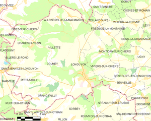
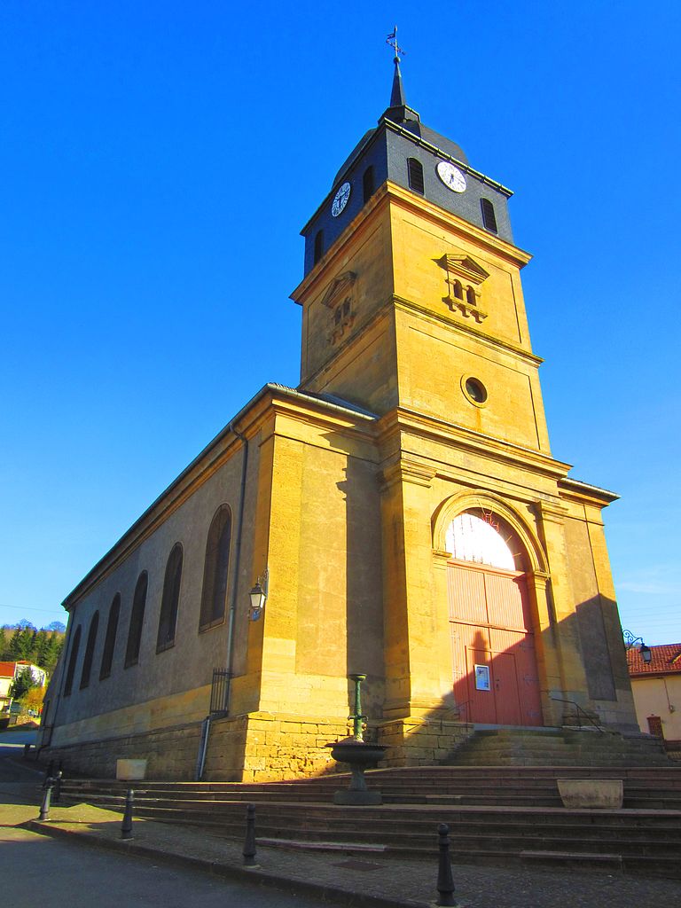
Allondrelle-la-Malmaison (Allondrelle-la-Malmaison)
- commune in Meurthe-et-Moselle, France
- Country:

- Postal Code: 54260
- Coordinates: 49° 30' 37" N, 5° 33' 48" E


- GPS tracks (wikiloc): [Link]
- Area: 13.61 sq km
- Population: 635
- Web site: http://www.allondrelle-lamalmaison.com
- Wikipedia en: wiki(en)
- Wikipedia: wiki(fr)
- Wikidata storage: Wikidata: Q1087149
- Wikipedia Commons Category: [Link]
- Freebase ID: [/m/03hlffl]
- Freebase ID: [/m/03hlffl]
- Freebase ID: [/m/03hlffl]
- GeoNames ID: Alt: [6449682]
- GeoNames ID: Alt: [6449682]
- GeoNames ID: Alt: [6449682]
- SIREN number: [215400110]
- SIREN number: [215400110]
- SIREN number: [215400110]
- BnF ID: [15264080w]
- BnF ID: [15264080w]
- BnF ID: [15264080w]
- INSEE municipality code: 54011
- INSEE municipality code: 54011
- INSEE municipality code: 54011
Shares border with regions:


Épiez-sur-Chiers
- commune in Meurthe-et-Moselle, France
- Country:

- Postal Code: 54260
- Coordinates: 49° 29' 30" N, 5° 30' 17" E


- GPS tracks (wikiloc): [Link]
- Area: 5.19 sq km
- Population: 180


Longuyon
- commune in Meurthe-et-Moselle, France
- Country:

- Postal Code: 54260
- Coordinates: 49° 26' 49" N, 5° 36' 2" E


- GPS tracks (wikiloc): [Link]
- Area: 29.7 sq km
- Population: 5397
- Web site: [Link]


Charency-Vezin
- commune in Meurthe-et-Moselle, France
- Country:

- Postal Code: 54260
- Coordinates: 49° 28' 58" N, 5° 30' 39" E


- GPS tracks (wikiloc): [Link]
- Area: 14.79 sq km
- Population: 652
