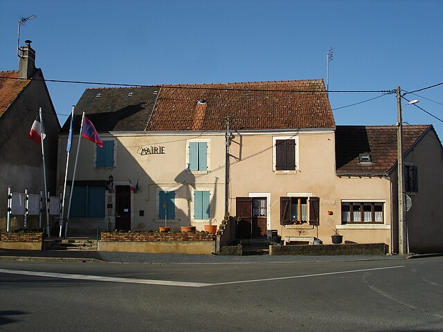
Ambrault (Ambrault)

- commune in Indre, France
- Country:

- Postal Code: 36120
- Coordinates: 46° 47' 5" N, 1° 57' 33" E


- GPS tracks (wikiloc): [Link]
- Area: 25.59 sq km
- Population: 903
- Wikipedia en: wiki(en)
- Wikipedia: wiki(fr)
- Wikidata storage: Wikidata: Q1071865
- Wikipedia Commons Category: [Link]
- Freebase ID: [/m/03nv8zv]
- GeoNames ID: Alt: [6452280]
- SIREN number: [213600034]
- BnF ID: [152573075]
- Pleiades ID: [138176]
- INSEE municipality code: 36003
Shares border with regions:

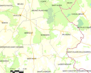
Bommiers
- commune in Indre, France
- Country:
- Postal Code: 36120
- Coordinates: 46° 47' 41" N, 1° 59' 7" E
- GPS tracks (wikiloc): [Link]
- Area: 28.38 sq km
- Population: 303


Vouillon
- commune in Indre, France
- Country:
- Postal Code: 36100
- Coordinates: 46° 49' 18" N, 1° 55' 29" E
- GPS tracks (wikiloc): [Link]
- Area: 14.98 sq km
- Population: 238

Sassierges-Saint-Germain
- commune in Indre, France
- Country:
- Postal Code: 36120
- Coordinates: 46° 46' 9" N, 1° 53' 39" E
- GPS tracks (wikiloc): [Link]
- Area: 31.72 sq km
- Population: 490
- Web site: [Link]


Saint-Août
- commune in Indre, France
- Country:
- Postal Code: 36120
- Coordinates: 46° 43' 53" N, 1° 57' 56" E
- GPS tracks (wikiloc): [Link]
- Area: 54.11 sq km
- Population: 852
- Web site: [Link]


Meunet-Planches
- commune in Indre, France
- Country:
- Postal Code: 36100
- Coordinates: 46° 50' 14" N, 1° 57' 25" E
- GPS tracks (wikiloc): [Link]
- Area: 26.73 sq km
- Population: 178


Mâron
- commune in Indre, France
- Country:
- Postal Code: 36120
- Coordinates: 46° 48' 25" N, 1° 51' 56" E
- GPS tracks (wikiloc): [Link]
- Area: 27.84 sq km
- Population: 783
- Web site: [Link]