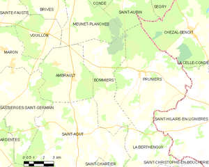
Saint-Août (Saint-Août)

- commune in Indre, France
- Country:

- Postal Code: 36120
- Coordinates: 46° 43' 53" N, 1° 57' 56" E


- GPS tracks (wikiloc): [Link]
- Area: 54.11 sq km
- Population: 852
- Web site: http://www.saintaout36.fr
- Wikipedia en: wiki(en)
- Wikipedia: wiki(fr)
- Wikidata storage: Wikidata: Q1137188
- Wikipedia Commons Category: [Link]
- Freebase ID: [/m/0c07tw]
- GeoNames ID: Alt: [2981657]
- SIREN number: [213601800]
- BnF ID: [15257484w]
- INSEE municipality code: 36180
Shares border with regions:


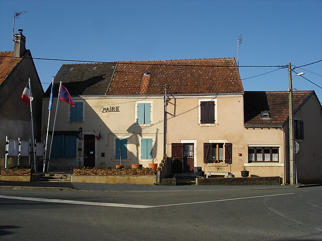
La Berthenoux
- commune in Indre, France
- Country:
- Postal Code: 36400
- Coordinates: 46° 39' 40" N, 2° 3' 43" E
- GPS tracks (wikiloc): [Link]
- Area: 39.82 sq km
- Population: 416
- Web site: [Link]


Ambrault
- commune in Indre, France
- Country:
- Postal Code: 36120
- Coordinates: 46° 47' 5" N, 1° 57' 33" E
- GPS tracks (wikiloc): [Link]
- Area: 25.59 sq km
- Population: 903

Bommiers
- commune in Indre, France
- Country:
- Postal Code: 36120
- Coordinates: 46° 47' 41" N, 1° 59' 7" E
- GPS tracks (wikiloc): [Link]
- Area: 28.38 sq km
- Population: 303

Sassierges-Saint-Germain
- commune in Indre, France
- Country:
- Postal Code: 36120
- Coordinates: 46° 46' 9" N, 1° 53' 39" E
- GPS tracks (wikiloc): [Link]
- Area: 31.72 sq km
- Population: 490
- Web site: [Link]

Montipouret
- commune in Indre, France
- Country:
- Postal Code: 36230
- Coordinates: 46° 38' 58" N, 1° 54' 1" E
- GPS tracks (wikiloc): [Link]
- Area: 27.89 sq km
- Population: 565


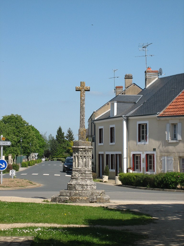
Saint-Chartier
- commune in Indre, France
- Country:
- Postal Code: 36400
- Coordinates: 46° 38' 59" N, 1° 58' 38" E
- GPS tracks (wikiloc): [Link]
- Area: 27.52 sq km
- Population: 532

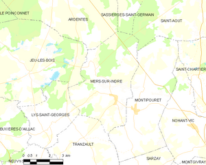
Mers-sur-Indre
- commune in Indre, France
- Country:
- Postal Code: 36230
- Coordinates: 46° 39' 30" N, 1° 52' 52" E
- GPS tracks (wikiloc): [Link]
- Area: 25.45 sq km
- Population: 655
- Web site: [Link]