Angluzelles-et-Courcelles (Angluzelles-et-Courcelles)

- commune in Marne, France
- Country:

- Postal Code: 51230
- Coordinates: 48° 39' 33" N, 3° 52' 46" E


- GPS tracks (wikiloc): [Link]
- Area: 13.7 sq km
- Population: 154
- Wikipedia en: wiki(en)
- Wikipedia: wiki(fr)
- Wikidata storage: Wikidata: Q659376
- Wikipedia Commons Category: [Link]
- Freebase ID: [/m/03nxdzx]
- GeoNames ID: Alt: [3037604]
- SIREN number: [215100108]
- BnF ID: [15262627m]
- INSEE municipality code: 51010
Shares border with regions:


Marigny
- commune in Marne, France
- Country:
- Postal Code: 51230
- Coordinates: 48° 39' 49" N, 3° 51' 59" E
- GPS tracks (wikiloc): [Link]
- Area: 11.73 sq km
- Population: 108


Faux-Fresnay
- commune in Marne, France
- Country:
- Postal Code: 51230
- Coordinates: 48° 39' 1" N, 3° 56' 15" E
- GPS tracks (wikiloc): [Link]
- Area: 27.26 sq km
- Population: 340


Corroy
- commune in Marne, France
- Country:
- Postal Code: 51230
- Coordinates: 48° 42' 10" N, 3° 56' 28" E
- GPS tracks (wikiloc): [Link]
- Area: 19.97 sq km
- Population: 161
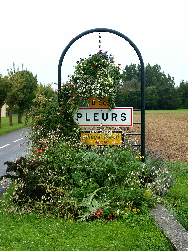

Pleurs
- commune in Marne, France
- Country:
- Postal Code: 51230
- Coordinates: 48° 41' 27" N, 3° 52' 15" E
- GPS tracks (wikiloc): [Link]
- Area: 16.72 sq km
- Population: 885


Thaas
- commune in Marne, France
- Country:
- Postal Code: 51230
- Coordinates: 48° 38' 55" N, 3° 52' 46" E
- GPS tracks (wikiloc): [Link]
- Area: 10.47 sq km
- Population: 100


Ognes
- commune in Marne, France
- Country:
- Postal Code: 51230
- Coordinates: 48° 41' 58" N, 3° 54' 16" E
- GPS tracks (wikiloc): [Link]
- Area: 7.79 sq km
- Population: 68