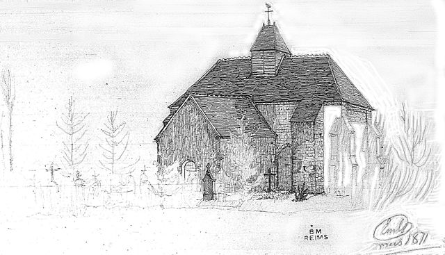
Thaas (Thaas)

- commune in Marne, France
- Country:

- Postal Code: 51230
- Coordinates: 48° 38' 55" N, 3° 52' 46" E


- GPS tracks (wikiloc): [Link]
- Area: 10.47 sq km
- Population: 100
- Wikipedia en: wiki(en)
- Wikipedia: wiki(fr)
- Wikidata storage: Wikidata: Q684405
- Wikipedia Commons Category: [Link]
- Freebase ID: [/m/03qdb6f]
- GeoNames ID: Alt: [6436043]
- SIREN number: [215105248]
- BnF ID: [15263157d]
- INSEE municipality code: 51565
Shares border with regions:
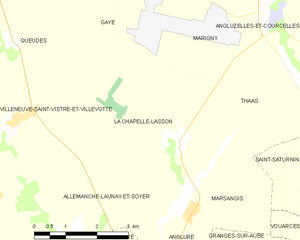
La Chapelle-Lasson
- commune in Marne, France
- Country:
- Postal Code: 51260
- Coordinates: 48° 37' 38" N, 3° 49' 56" E
- GPS tracks (wikiloc): [Link]
- Area: 15.04 sq km
- Population: 85

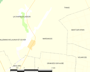
Marsangis
- commune in Marne, France
- Country:
- Postal Code: 51260
- Coordinates: 48° 36' 20" N, 3° 50' 10" E
- GPS tracks (wikiloc): [Link]
- Area: 6.74 sq km
- Population: 51


Marigny
- commune in Marne, France
- Country:
- Postal Code: 51230
- Coordinates: 48° 39' 49" N, 3° 51' 59" E
- GPS tracks (wikiloc): [Link]
- Area: 11.73 sq km
- Population: 108


Faux-Fresnay
- commune in Marne, France
- Country:
- Postal Code: 51230
- Coordinates: 48° 39' 1" N, 3° 56' 15" E
- GPS tracks (wikiloc): [Link]
- Area: 27.26 sq km
- Population: 340


Angluzelles-et-Courcelles
- commune in Marne, France
- Country:
- Postal Code: 51230
- Coordinates: 48° 39' 33" N, 3° 52' 46" E
- GPS tracks (wikiloc): [Link]
- Area: 13.7 sq km
- Population: 154

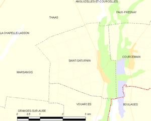
Saint-Saturnin
- commune in Marne, France
- Country:
- Postal Code: 51260
- Coordinates: 48° 36' 46" N, 3° 54' 9" E
- GPS tracks (wikiloc): [Link]
- Area: 7.96 sq km
- Population: 58