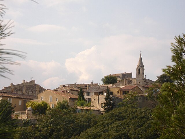
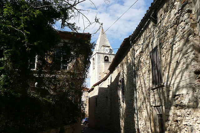
Aramon (Aramon)

- commune in Gard, France
- Country:

- Postal Code: 30390
- Coordinates: 43° 53' 28" N, 4° 40' 51" E


- GPS tracks (wikiloc): [Link]
- Area: 31.16 sq km
- Population: 4152
- Web site: http://www.aramon.fr
- Wikipedia en: wiki(en)
- Wikipedia: wiki(fr)
- Wikidata storage: Wikidata: Q269851
- Wikipedia Commons Category: [Link]
- Freebase ID: [/m/02x2srm]
- GeoNames ID: Alt: [6614447]
- SIREN number: [213000128]
- BnF ID: [15254653f]
- VIAF ID: Alt: [245763370]
- MusicBrainz area ID: [f665c5c5-8b7f-4a5f-8bfa-b602c546f5e3]
- WOEID: [576367]
- Twitter username: Alt: [MairieAramon]
- INSEE municipality code: 30012
Shares border with regions:

Les Angles
- commune in Gard, France
- Country:
- Postal Code: 30133
- Coordinates: 43° 57' 16" N, 4° 46' 0" E
- GPS tracks (wikiloc): [Link]
- Area: 17.64 sq km
- Population: 8425
- Web site: [Link]


Domazan
- commune in Gard, France
- Country:
- Postal Code: 30390
- Coordinates: 43° 55' 47" N, 4° 39' 4" E
- GPS tracks (wikiloc): [Link]
- Area: 11.42 sq km
- Population: 915
- Web site: [Link]

Saze
- commune in Gard, France
- Country:
- Postal Code: 30650
- Coordinates: 43° 56' 30" N, 4° 40' 53" E
- GPS tracks (wikiloc): [Link]
- AboveSeaLevel: 65 м m
- Area: 12.6 sq km
- Population: 2002
- Web site: [Link]


Barbentane
- commune in Bouches-du-Rhône, France
- Country:
- Postal Code: 13570
- Coordinates: 43° 53' 58" N, 4° 44' 52" E
- GPS tracks (wikiloc): [Link]
- Area: 27.13 sq km
- Population: 4123
- Web site: [Link]


Théziers
- commune in Gard, France
- Country:
- Postal Code: 30390
- Coordinates: 43° 53' 57" N, 4° 37' 15" E
- GPS tracks (wikiloc): [Link]
- Area: 11.34 sq km
- Population: 1080


Vallabrègues
- commune in Gard, France
- Country:
- Postal Code: 30300
- Coordinates: 43° 51' 11" N, 4° 37' 39" E
- GPS tracks (wikiloc): [Link]
- Area: 14.33 sq km
- Population: 1379


Boulbon
- commune in Bouches-du-Rhône, France
- Country:
- Postal Code: 13150
- Coordinates: 43° 51' 45" N, 4° 41' 37" E
- GPS tracks (wikiloc): [Link]
- Area: 19.33 sq km
- Population: 1483
- Web site: [Link]


Saint-Pierre-de-Mézoargues
- commune in Bouches-du-Rhône, France
- Country:
- Postal Code: 13150
- Coordinates: 43° 51' 32" N, 4° 38' 56" E
- GPS tracks (wikiloc): [Link]
- AboveSeaLevel: 12 м m
- Area: 4.13 sq km
- Population: 214