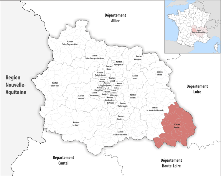
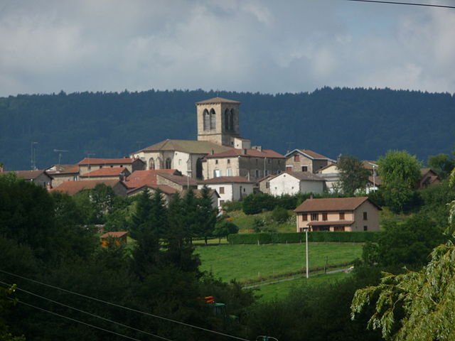
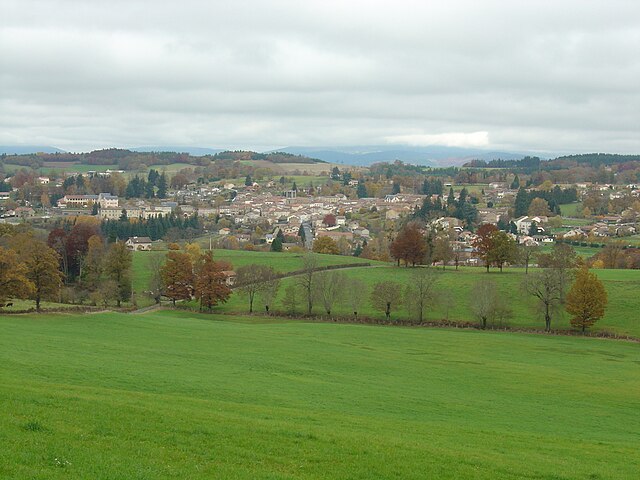
arrondissement of Ambert (arrondissement d'Ambert)
- arrondissement of France
- Country:

- Capital: Ambert
- Coordinates: 45° 35' 0" N, 3° 40' 0" E


- GPS tracks (wikiloc): [Link]
- Population: 27618
- Wikipedia en: wiki(en)
- Wikipedia: wiki(fr)
- Wikidata storage: Wikidata: Q700401
- Freebase ID: [/m/095jzm]
- GeoNames ID: Alt: [3037936]
- INSEE arrondissement code: [631]
- GNS Unique Feature ID: -1407363
Includes regions:

canton of Saint-Anthème
- canton of France
- Country:

- Capital: Saint-Anthème
- Coordinates: 45° 29' 52" N, 3° 53' 57" E


- GPS tracks (wikiloc): [Link]

canton of Olliergues
- canton of France (until March 2015)
- Country:

- Capital: Olliergues
- Coordinates: 45° 40' 37" N, 3° 40' 59" E


- GPS tracks (wikiloc): [Link]

canton of Saint-Germain-l'Herm
- canton of France (until March 2015)
- Country:

- Capital: Saint-Germain-l'Herm
- Coordinates: 45° 28' 52" N, 3° 33' 30" E


- GPS tracks (wikiloc): [Link]


canton of Ambert
- canton of France
- Country:

- Capital: Ambert
- Coordinates: 45° 33' 16" N, 3° 44' 25" E


- GPS tracks (wikiloc): [Link]
- Population: 18111

canton of Saint-Amant-Roche-Savine
- canton of France (until March 2015)
- Country:

- Capital: Saint-Amant-Roche-Savine
- Coordinates: 45° 35' 1" N, 3° 38' 20" E


- GPS tracks (wikiloc): [Link]


