Montredon-Labessonnié (Montredon-Labessonnié)

- commune in Tarn, France
- Country:

- Postal Code: 81360
- Coordinates: 43° 43' 13" N, 2° 19' 35" E


- GPS tracks (wikiloc): [Link]
- Area: 110.88 sq km
- Population: 2036
- Web site: http://www.montredon-labessonnie.fr
- Wikipedia en: wiki(en)
- Wikipedia: wiki(fr)
- Wikidata storage: Wikidata: Q1613901
- Wikipedia Commons Gallery: [Link]
- Wikipedia Commons Category: [Link]
- Freebase ID: [/m/07_jr_]
- GeoNames ID: Alt: [6444893]
- SIREN number: [218101822]
- BnF ID: [15277488p]
- INSEE municipality code: 81182
Shares border with regions:


Roquecourbe
- commune in Tarn, France
- Country:
- Postal Code: 81210
- Coordinates: 43° 39' 52" N, 2° 17' 28" E
- GPS tracks (wikiloc): [Link]
- Area: 16.65 sq km
- Population: 2236
- Web site: [Link]


Vabre
- commune in Tarn, France
- Country:
- Postal Code: 81330
- Coordinates: 43° 41' 35" N, 2° 25' 35" E
- GPS tracks (wikiloc): [Link]
- Area: 28.43 sq km
- Population: 797
- Web site: [Link]


Saint-Pierre-de-Trivisy
- commune in Tarn, France
- Country:
- Postal Code: 81330
- Coordinates: 43° 45' 40" N, 2° 26' 5" E
- GPS tracks (wikiloc): [Link]
- Area: 36.09 sq km
- Population: 630
- Web site: [Link]
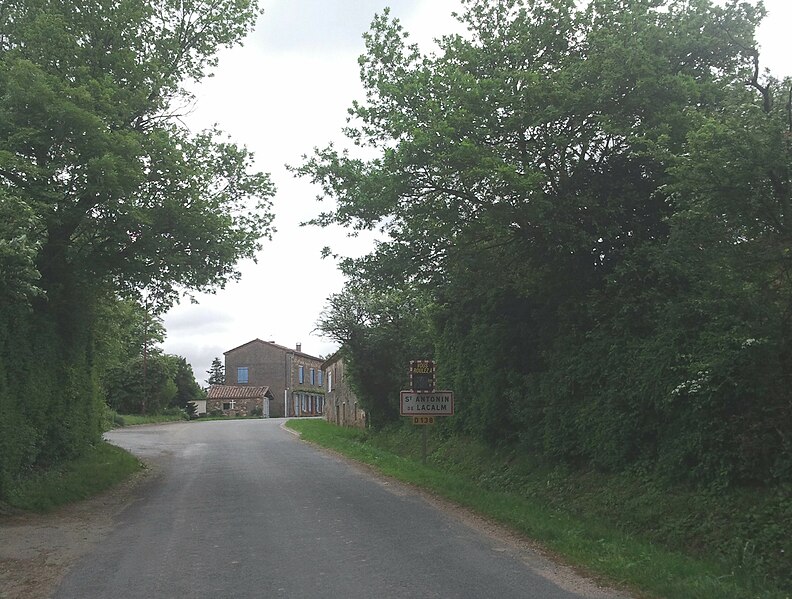

Saint-Antonin-de-Lacalm
- commune in Tarn, France
- Country:
- Postal Code: 81120
- Coordinates: 43° 47' 11" N, 2° 18' 20" E
- GPS tracks (wikiloc): [Link]
- Area: 28.09 sq km
- Population: 269


Saint-Jean-de-Vals
- commune in Tarn, France
- Country:
- Postal Code: 81210
- Coordinates: 43° 41' 24" N, 2° 15' 22" E
- GPS tracks (wikiloc): [Link]
- Area: 4.75 sq km
- Population: 78

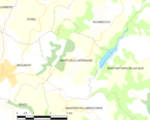
Saint-Lieux-Lafenasse
- commune in Tarn, France
- Country:
- Postal Code: 81120
- Coordinates: 43° 46' 5" N, 2° 13' 45" E
- GPS tracks (wikiloc): [Link]
- AboveSeaLevel: 320 м m
- Area: 12.19 sq km
- Population: 454


Lacrouzette
- commune in Tarn, France
- Country:
- Postal Code: 81210
- Coordinates: 43° 39' 50" N, 2° 20' 54" E
- GPS tracks (wikiloc): [Link]
- Area: 28.77 sq km
- Population: 1745
- Web site: [Link]
Montfa
- commune in Tarn, France
- Country:
- Postal Code: 81210
- Coordinates: 43° 41' 52" N, 2° 14' 34" E
- GPS tracks (wikiloc): [Link]
- Area: 10.69 sq km
- Population: 477

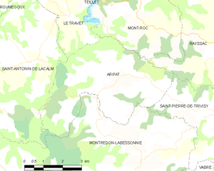
Arifat
- commune in Tarn, France
- Country:
- Postal Code: 81360
- Coordinates: 43° 47' 4" N, 2° 21' 51" E
- GPS tracks (wikiloc): [Link]
- Area: 20.28 sq km
- Population: 159
- Web site: [Link]
Vénès
- commune in Tarn, France
- Country:
- Postal Code: 81440
- Coordinates: 43° 43' 40" N, 2° 11' 32" E
- GPS tracks (wikiloc): [Link]
- Area: 27.42 sq km
- Population: 780