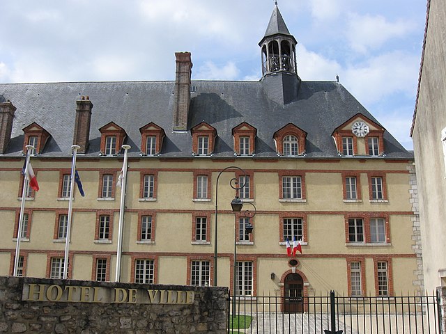
arrondissement of Fontainebleau (arrondissement de Fontainebleau)
- arrondissement of France
- Country:

- Capital: Fontainebleau
- Coordinates: 48° 24' 16" N, 2° 41' 25" E


- GPS tracks (wikiloc): [Link]
- Area: 1227 sq km
- Population: 156652
- Wikipedia en: wiki(en)
- Wikipedia: wiki(fr)
- Wikidata storage: Wikidata: Q701190
- Freebase ID: [/m/06d828]
- GeoNames ID: Alt: [6457362]
- INSEE arrondissement code: [774]
Includes regions:

canton of Moret-sur-Loing
- canton of France (until March 2015)
- Country:

- Capital: Moret-sur-Loing
- Coordinates: 48° 21' 29" N, 2° 49' 20" E


- GPS tracks (wikiloc): [Link]


canton of Nemours
- canton of France
- Country:

- Capital: Nemours
- Coordinates: 48° 16' 2" N, 2° 42' 10" E


- GPS tracks (wikiloc): [Link]
- Population: 59768

canton of Château-Landon
- canton of France (until March 2015)
- Country:

- Capital: Château-Landon
- Coordinates: 48° 9' 1" N, 2° 42' 9" E


- GPS tracks (wikiloc): [Link]


canton of Fontainebleau
- canton of France
- Country:

- Capital: Fontainebleau
- Coordinates: 48° 26' 5" N, 2° 44' 14" E


- GPS tracks (wikiloc): [Link]
- Population: 63801

canton of Chapelle-la-Reine
- canton of France (until March 2015)
- Country:

- Capital: La Chapelle-la-Reine
- Coordinates: 48° 18' 20" N, 2° 31' 42" E


- GPS tracks (wikiloc): [Link]

canton of Lorrez-le-Bocage-Préaux
- canton of France (until March 2015)
- Country:

- Capital: Lorrez-le-Bocage-Préaux
- Coordinates: 48° 15' 35" N, 2° 55' 29" E


- GPS tracks (wikiloc): [Link]
