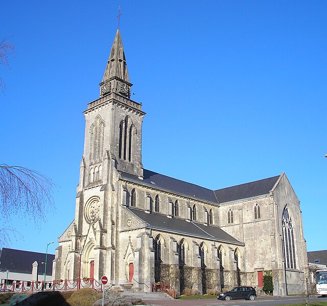
arrondissement of Saint-Lô (arrondissement de Saint-Lô)
- arrondissement of France in the Manche department
- Country:

- Capital: Saint-Lô
- Coordinates: 49° 6' 30" N, 1° 5' 4" E


- GPS tracks (wikiloc): [Link]
- Area: 1235 sq km
- Population: 102780
- Wikipedia en: wiki(en)
- Wikipedia: wiki(fr)
- Wikidata storage: Wikidata: Q702381
- Freebase ID: [/m/072b_c]
- GeoNames ID: Alt: [2978757]
- INSEE arrondissement code: [504]
Includes regions:

canton of Saint-Jean-de-Daye
- canton of France
- Country:

- Capital: Saint-Jean-de-Daye
- Coordinates: 49° 12' 29" N, 1° 9' 57" E


- GPS tracks (wikiloc): [Link]


canton of Carentan
- canton of France
- Country:

- Capital: Carentan
- Coordinates: 49° 16' 48" N, 1° 15' 17" E


- GPS tracks (wikiloc): [Link]
- Population: 21493

canton of Saint-Clair-sur-l'Elle
- canton of France
- Country:

- Capital: Saint-Clair-sur-l'Elle
- Coordinates: 49° 9' 49" N, 1° 0' 19" E


- GPS tracks (wikiloc): [Link]

canton of Tessy-sur-Vire
- canton of France
- Country:

- Capital: Tessy-sur-Vire
- Coordinates: 48° 58' 44" N, 1° 4' 16" E


- GPS tracks (wikiloc): [Link]

canton of Torigni-sur-Vire
- canton of France
- Country:

- Capital: Torigni-sur-Vire
- Coordinates: 49° 3' 35" N, 0° 56' 48" E


- GPS tracks (wikiloc): [Link]


canton of Villedieu-les-Poêles
- canton of France
- Country:

- Capital: Villedieu-les-Poêles
- Coordinates: 48° 49' 30" N, 1° 15' 6" E


- GPS tracks (wikiloc): [Link]
- Population: 15739


