canton of Marnay (canton de Marnay)
- canton of France
The Canton of Marnay, located in the Haute-Saône department in the Bourgogne-Franche-Comté region of France, offers a range of beautiful landscapes and trails suitable for hiking enthusiasts. Here are some highlights and tips for hiking in this area:
Scenic Landscape
- Diverse Terrain: The terrain in the Canton of Marnay includes rolling hills, forests, and agricultural land, providing varied hiking experiences.
- Natural Parks: The area is close to the regional natural parks, which feature rich biodiversity and stunning viewpoints.
Popular Hiking Trails
- Circuit des Sources: This trail takes you through the picturesque countryside and along streams, perfect for those who enjoy nature and tranquility.
- Le Chemin de la Nature: A trail ideal for families that combines educational aspects about local flora and fauna along with beautiful views.
- Grande Traversée du Jura: While not entirely in the Canton, portions of this long-distance trail pass close by, offering an opportunity for multi-day hikes.
Trail Markings
Most trails are well-marked with the standard French hiking signs (GR and PR markings); it's always a good idea to carry a local hiking map or a smartphone app to help navigate.
Best Times to Hike
- Spring (April to June): Enjoy blooming flowers and moderate temperatures.
- Autumn (September to November): Experience the beautiful fall colors and crisp air.
- Summer (July to August): Ideal for longer hikes, but be prepared for warmer weather.
Hiking Tips
- Weather Check: Always check the weather before heading out, as conditions can change quickly, especially in more remote areas.
- Gear Up: Wear sturdy hiking boots, dress in layers, and carry enough water and snacks.
- Local Wildlife: Be respectful of local wildlife, and make sure to stay on designated paths to preserve the natural habitat.
Accessibility
Many trails are accessible to varying levels of hikers, from beginners to experienced trekkers. Always assess your fitness level and choose a trail that suits your capabilities.
Cultural Aspects
Don't miss the chance to explore local villages and sample regional cuisine after your hike – it’s a great way to experience the culture of the area.
With its scenic beauty and variety of trails, the Canton of Marnay provides a wonderful hiking experience whether you're exploring for a day or planning a longer adventure. Enjoy your hike!
- Country:

- Capital: Marnay
- Coordinates: 47° 17' 26" N, 5° 46' 20" E


- GPS tracks (wikiloc): [Link]
- Population: 15145
- Wikipedia en: wiki(en)
- Wikipedia: wiki(fr)
- Wikidata storage: Wikidata: Q1516170
- Library of Congress authority ID: Alt: [n85191931]
- INSEE canton code: [7009]
Includes regions:


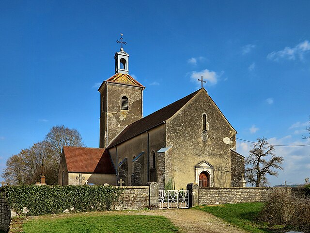
Charcenne
- commune in Haute-Saône, France
- Country:

- Postal Code: 70700
- Coordinates: 47° 22' 18" N, 5° 46' 35" E


- GPS tracks (wikiloc): [Link]
- Area: 7.16 sq km
- Population: 341

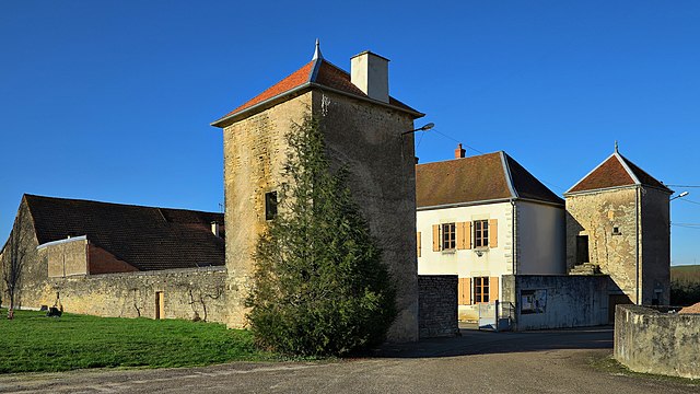
Chenevrey-et-Morogne
- commune in Haute-Saône, France
- Country:

- Postal Code: 70150
- Coordinates: 47° 16' 58" N, 5° 44' 36" E


- GPS tracks (wikiloc): [Link]
- Area: 8.86 sq km
- Population: 300


Étuz
- commune in Haute-Saône, France
- Country:

- Postal Code: 70150
- Coordinates: 47° 20' 59" N, 5° 56' 23" E


- GPS tracks (wikiloc): [Link]
- Area: 5.3 sq km
- Population: 655


Chambornay-lès-Pin
- commune in Haute-Saône, France
- Country:

- Postal Code: 70150
- Coordinates: 47° 20' 15" N, 5° 54' 25" E


- GPS tracks (wikiloc): [Link]
- Area: 4.85 sq km
- Population: 347


Brussey
- commune in Haute-Saône, France
- Country:

- Postal Code: 70150
- Coordinates: 47° 18' 1" N, 5° 48' 37" E


- GPS tracks (wikiloc): [Link]
- Area: 7.27 sq km
- Population: 276

Cult, Haute-Saône
- commune in Haute-Saône, France
- Country:

- Postal Code: 70150
- Coordinates: 47° 18' 49" N, 5° 44' 19" E


- GPS tracks (wikiloc): [Link]
- Area: 6.88 sq km
- Population: 223


Bay, Haute-Saône
- commune in Haute-Saône, France
- Country:

- Postal Code: 70150
- Coordinates: 47° 17' 20" N, 5° 43' 12" E


- GPS tracks (wikiloc): [Link]
- Area: 4.87 sq km
- Population: 133


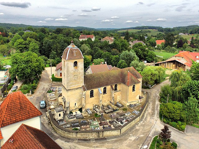
Avrigney-Virey
- commune in Haute-Saône, France
- Country:

- Postal Code: 70150
- Coordinates: 47° 20' 4" N, 5° 46' 43" E


- GPS tracks (wikiloc): [Link]
- AboveSeaLevel: 270 м m
- Area: 22.3 sq km
- Population: 431

Beaumotte-lès-Pin
- commune in Haute-Saône, France
- Country:

- Postal Code: 70150
- Coordinates: 47° 19' 1" N, 5° 49' 51" E


- GPS tracks (wikiloc): [Link]
- Area: 8.43 sq km
- Population: 301
- Web site: [Link]


Courcuire
- commune in Haute-Saône, France
- Country:

- Postal Code: 70150
- Coordinates: 47° 20' 31" N, 5° 49' 26" E


- GPS tracks (wikiloc): [Link]
- Area: 7.06 sq km
- Population: 136

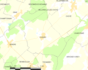
Cugney
- commune in Haute-Saône, France
- Country:

- Postal Code: 70700
- Coordinates: 47° 21' 56" N, 5° 43' 8" E


- GPS tracks (wikiloc): [Link]
- Area: 11.39 sq km
- Population: 193


Bonboillon
- commune in Haute-Saône, France
- Country:

- Postal Code: 70150
- Coordinates: 47° 20' 14" N, 5° 42' 13" E


- GPS tracks (wikiloc): [Link]
- Area: 4.44 sq km
- Population: 199


Marnay
- commune in Haute-Saône, France
- Country:

- Postal Code: 70150
- Coordinates: 47° 17' 23" N, 5° 46' 18" E


- GPS tracks (wikiloc): [Link]
- Area: 10.37 sq km
- Population: 1464
- Web site: [Link]


Pin
- commune in Haute-Saône, France
- Country:

- Postal Code: 70150
- Coordinates: 47° 19' 22" N, 5° 51' 52" E


- GPS tracks (wikiloc): [Link]
- AboveSeaLevel: 228 м m
- Area: 14.04 sq km
- Population: 687


Sornay
- commune in Haute-Saône, France
- Country:

- Postal Code: 70150
- Coordinates: 47° 16' 42" N, 5° 41' 52" E


- GPS tracks (wikiloc): [Link]
- Area: 6.29 sq km
- Population: 326


Tromarey
- commune in Haute-Saône, France
- Country:

- Postal Code: 70150
- Coordinates: 47° 20' 17" N, 5° 43' 11" E


- GPS tracks (wikiloc): [Link]
- Area: 6.12 sq km
- Population: 95
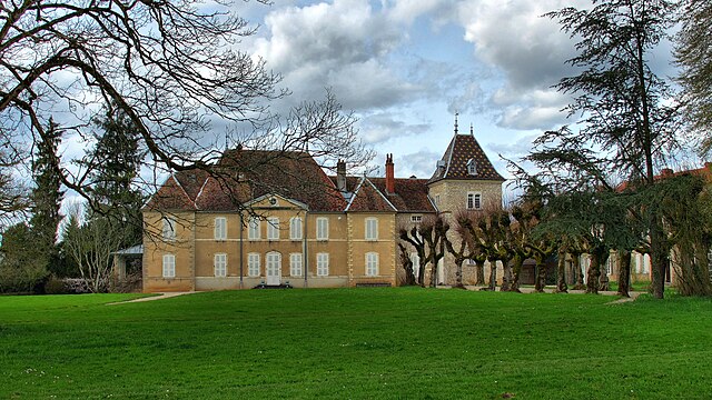

Vregille
- commune in Haute-Saône, France
It seems that there may be a misunderstanding, as "Vregille" does not appear to be a widely recognized hiking destination or location. It's possible that you may be referring to a specific area or a less-known region. If you can provide more details or clarify the name, I would be happy to assist you with hiking information regarding that location....
- Country:

- Postal Code: 70150
- Coordinates: 47° 19' 11" N, 5° 53' 30" E


- GPS tracks (wikiloc): [Link]
- Area: 4.28 sq km
- Population: 171


Hugier
- commune in Haute-Saône, France
- Country:

- Postal Code: 70150
- Coordinates: 47° 18' 52" N, 5° 42' 32" E


- GPS tracks (wikiloc): [Link]
- Area: 7.08 sq km
- Population: 134

