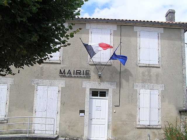
Aussac-Vadalle (Aussac-Vadalle)
- commune in Charente, France
- Country:

- Postal Code: 16560
- Coordinates: 45° 48' 59" N, 0° 13' 14" E


- GPS tracks (wikiloc): [Link]
- AboveSeaLevel: 109 м m
- Area: 17.61 sq km
- Population: 517
- Web site: http://www.aussac-vadalle.fr
- Wikipedia en: wiki(en)
- Wikipedia: wiki(fr)
- Wikidata storage: Wikidata: Q1613619
- Wikipedia Commons Category: [Link]
- Freebase ID: [/m/03mbc8d]
- GeoNames ID: Alt: [3035994]
- SIREN number: [211600242]
- BnF ID: [15248463z]
- PACTOLS thesaurus ID: [pcrtfw29sJZ1o9]
- INSEE municipality code: 16024
Shares border with regions:


Jauldes
- commune in Charente, France
- Country:

- Postal Code: 16560
- Coordinates: 45° 47' 8" N, 0° 15' 28" E


- GPS tracks (wikiloc): [Link]
- Area: 25.59 sq km
- Population: 779
- Web site: [Link]


Coulgens
- commune in Charente, France
- Country:

- Postal Code: 16560
- Coordinates: 45° 48' 41" N, 0° 17' 13" E


- GPS tracks (wikiloc): [Link]
- Area: 11.7 sq km
- Population: 540
- Web site: [Link]


Nanclars
- commune in Charente, France
- Country:

- Postal Code: 16230
- Coordinates: 45° 50' 40" N, 0° 13' 11" E


- GPS tracks (wikiloc): [Link]
- Area: 5.73 sq km
- Population: 196


Villejoubert
- commune in Charente, France
- Country:

- Postal Code: 16560
- Coordinates: 45° 48' 13" N, 0° 10' 31" E


- GPS tracks (wikiloc): [Link]
- Area: 7.82 sq km
- Population: 335


Tourriers
- commune in Charente, France
- Country:

- Postal Code: 16560
- Coordinates: 45° 47' 52" N, 0° 11' 30" E


- GPS tracks (wikiloc): [Link]
- Area: 6.77 sq km
- Population: 759
- Web site: [Link]


Saint-Amant-de-Boixe
- commune in Charente, France
- Country:

- Postal Code: 16330
- Coordinates: 45° 47' 53" N, 0° 8' 5" E


- GPS tracks (wikiloc): [Link]
- Area: 22.39 sq km
- Population: 1416
- Web site: [Link]


Maine-de-Boixe
- commune in Charente, France
- Country:

- Postal Code: 16230
- Coordinates: 45° 51' 1" N, 0° 10' 34" E


- GPS tracks (wikiloc): [Link]
- AboveSeaLevel: 109 м m
- Area: 9.35 sq km
- Population: 472


Saint-Angeau
- former commune in Charente, France
- Country:

- Postal Code: 16230
- Coordinates: 45° 50' 54" N, 0° 17' 12" E


- GPS tracks (wikiloc): [Link]
- Area: 10.94 sq km
- Population: 768
