canton of Saint-Amant-de-Boixe (canton de Saint-Amant-de-Boixe)
- canton of France
- Country:

- Capital: Saint-Amant-de-Boixe
- Coordinates: 45° 47' 56" N, 0° 8' 8" E


- GPS tracks (wikiloc): [Link]
- Wikidata storage: Wikidata: Q1727059
- VIAF ID: Alt: [238788619]
- GND ID: Alt: [4727160-7]
- INSEE canton code: [1625]
Includes regions:


Coulonges
- commune in Charente, France
- Country:

- Postal Code: 16330
- Coordinates: 45° 50' 0" N, 0° 5' 26" E


- GPS tracks (wikiloc): [Link]
- AboveSeaLevel: 100 м m
- Area: 3.02 sq km
- Population: 149


Aussac-Vadalle
- commune in Charente, France
- Country:

- Postal Code: 16560
- Coordinates: 45° 48' 59" N, 0° 13' 14" E


- GPS tracks (wikiloc): [Link]
- AboveSeaLevel: 109 м m
- Area: 17.61 sq km
- Population: 517
- Web site: [Link]


Nanclars
- commune in Charente, France
- Country:

- Postal Code: 16230
- Coordinates: 45° 50' 40" N, 0° 13' 11" E


- GPS tracks (wikiloc): [Link]
- Area: 5.73 sq km
- Population: 196


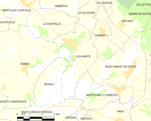
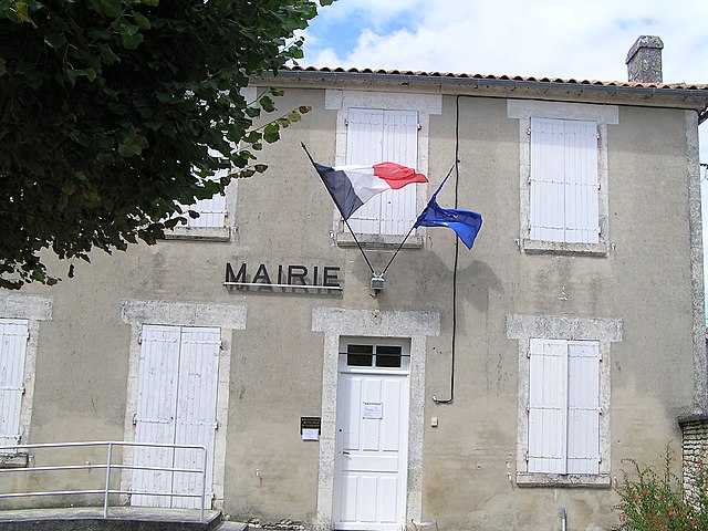
Vouharte
- commune in Charente, France
- Country:

- Postal Code: 16330
- Coordinates: 45° 48' 56" N, 0° 4' 28" E


- GPS tracks (wikiloc): [Link]
- Area: 10.64 sq km
- Population: 325


Villejoubert
- commune in Charente, France
- Country:

- Postal Code: 16560
- Coordinates: 45° 48' 13" N, 0° 10' 31" E


- GPS tracks (wikiloc): [Link]
- Area: 7.82 sq km
- Population: 335


Vars
- commune in Charente, France
- Country:

- Postal Code: 16330
- Coordinates: 45° 45' 44" N, 0° 7' 26" E


- GPS tracks (wikiloc): [Link]
- Area: 27.46 sq km
- Population: 2048
- Web site: [Link]


Tourriers
- commune in Charente, France
- Country:

- Postal Code: 16560
- Coordinates: 45° 47' 52" N, 0° 11' 30" E


- GPS tracks (wikiloc): [Link]
- Area: 6.77 sq km
- Population: 759
- Web site: [Link]


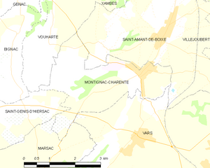
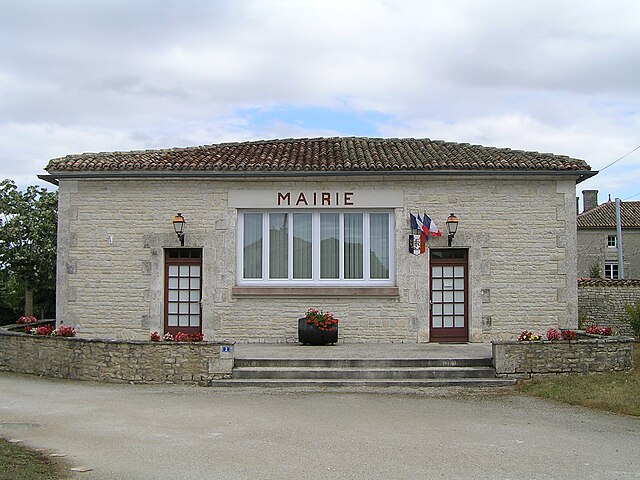
Montignac-Charente
- commune in Charente, France
- Country:

- Postal Code: 16330
- Coordinates: 45° 47' 0" N, 0° 7' 28" E


- GPS tracks (wikiloc): [Link]
- Area: 8.63 sq km
- Population: 717


Marsac
- commune in Charente, France
- Country:

- Postal Code: 16570
- Coordinates: 45° 44' 28" N, 0° 4' 41" E


- GPS tracks (wikiloc): [Link]
- Area: 13.34 sq km
- Population: 836


Vervant
- commune in Charente, France
- Country:

- Postal Code: 16330
- Coordinates: 45° 49' 56" N, 0° 7' 25" E


- GPS tracks (wikiloc): [Link]
- Area: 9.56 sq km
- Population: 147


Xambes
- commune in Charente, France
- Country:

- Postal Code: 16330
- Coordinates: 45° 49' 35" N, 0° 6' 18" E


- GPS tracks (wikiloc): [Link]
- Area: 5.25 sq km
- Population: 312


Saint-Amant-de-Boixe
- commune in Charente, France
- Country:

- Postal Code: 16330
- Coordinates: 45° 47' 53" N, 0° 8' 5" E


- GPS tracks (wikiloc): [Link]
- Area: 22.39 sq km
- Population: 1416
- Web site: [Link]


Maine-de-Boixe
- commune in Charente, France
- Country:

- Postal Code: 16230
- Coordinates: 45° 51' 1" N, 0° 10' 34" E


- GPS tracks (wikiloc): [Link]
- AboveSeaLevel: 109 м m
- Area: 9.35 sq km
- Population: 472


Anais
- commune in Charente, France
- Country:

- Postal Code: 16560
- Coordinates: 45° 46' 27" N, 0° 12' 32" E


- GPS tracks (wikiloc): [Link]
- AboveSeaLevel: 75 м m
- Area: 9.87 sq km
- Population: 590


La Chapelle
- commune in Charente, France
- Country:

- Postal Code: 16140
- Coordinates: 45° 50' 23" N, 0° 2' 14" E


- GPS tracks (wikiloc): [Link]
- Area: 7.69 sq km
- Population: 226


Ambérac
- commune in Charente, France
- Country:

- Postal Code: 16140
- Coordinates: 45° 51' 11" N, 0° 3' 58" E


- GPS tracks (wikiloc): [Link]
- Area: 12.1 sq km
- Population: 335