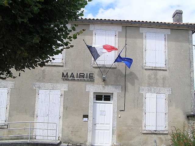
Tourriers (Tourriers)

- commune in Charente, France
- Country:

- Postal Code: 16560
- Coordinates: 45° 47' 52" N, 0° 11' 30" E


- GPS tracks (wikiloc): [Link]
- Area: 6.77 sq km
- Population: 759
- Web site: http://www.tourriers.fr
- Wikipedia en: wiki(en)
- Wikipedia: wiki(fr)
- Wikidata storage: Wikidata: Q1625105
- Wikipedia Commons Category: [Link]
- Freebase ID: [/m/03mcf0y]
- GeoNames ID: Alt: [2972194]
- SIREN number: [211603832]
- BnF ID: [15248820s]
- INSEE municipality code: 16383
Shares border with regions:


Jauldes
- commune in Charente, France
- Country:
- Postal Code: 16560
- Coordinates: 45° 47' 8" N, 0° 15' 28" E
- GPS tracks (wikiloc): [Link]
- Area: 25.59 sq km
- Population: 779
- Web site: [Link]


Aussac-Vadalle
- commune in Charente, France
- Country:
- Postal Code: 16560
- Coordinates: 45° 48' 59" N, 0° 13' 14" E
- GPS tracks (wikiloc): [Link]
- AboveSeaLevel: 109 м m
- Area: 17.61 sq km
- Population: 517
- Web site: [Link]

Villejoubert
- commune in Charente, France
- Country:
- Postal Code: 16560
- Coordinates: 45° 48' 13" N, 0° 10' 31" E
- GPS tracks (wikiloc): [Link]
- Area: 7.82 sq km
- Population: 335


Vars
- commune in Charente, France
- Country:
- Postal Code: 16330
- Coordinates: 45° 45' 44" N, 0° 7' 26" E
- GPS tracks (wikiloc): [Link]
- Area: 27.46 sq km
- Population: 2048
- Web site: [Link]


Saint-Amant-de-Boixe
- commune in Charente, France
- Country:
- Postal Code: 16330
- Coordinates: 45° 47' 53" N, 0° 8' 5" E
- GPS tracks (wikiloc): [Link]
- Area: 22.39 sq km
- Population: 1416
- Web site: [Link]


Anais
- commune in Charente, France
- Country:
- Postal Code: 16560
- Coordinates: 45° 46' 27" N, 0° 12' 32" E
- GPS tracks (wikiloc): [Link]
- AboveSeaLevel: 75 м m
- Area: 9.87 sq km
- Population: 590