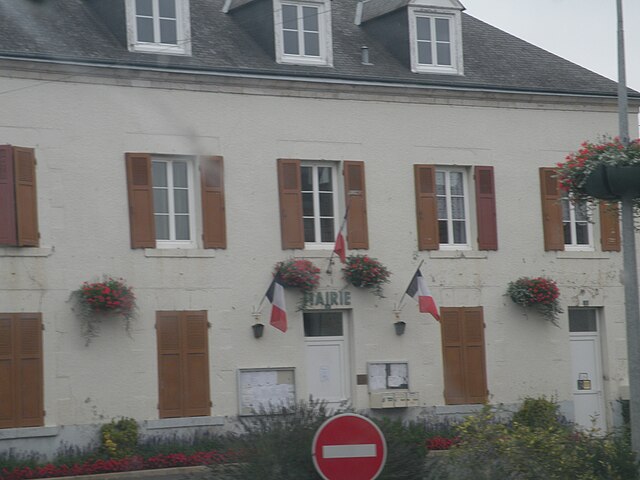
Autainville (Autainville)

- commune in Loir-et-Cher, France
- Country:

- Postal Code: 41240
- Coordinates: 47° 52' 52" N, 1° 24' 56" E


- GPS tracks (wikiloc): [Link]
- Area: 25.01 sq km
- Population: 436
- Wikipedia en: wiki(en)
- Wikipedia: wiki(fr)
- Wikidata storage: Wikidata: Q1172544
- Wikipedia Commons Category: [Link]
- Freebase ID: [/m/03nvzr1]
- GeoNames ID: Alt: [6452309]
- SIREN number: [214100067]
- BnF ID: [152592824]
- PACTOLS thesaurus ID: [pcrtdy5kDzhyyV]
- INSEE municipality code: 41006
Shares border with regions:
Saint-Laurent-des-Bois
- commune in Loir-et-Cher, France
- Country:
- Postal Code: 41240
- Coordinates: 47° 51' 3" N, 1° 26' 52" E
- GPS tracks (wikiloc): [Link]
- Area: 18.32 sq km
- Population: 288

Binas
- commune in Loir-et-Cher, France
- Country:
- Postal Code: 41240
- Coordinates: 47° 54' 12" N, 1° 27' 45" E
- GPS tracks (wikiloc): [Link]
- Area: 26.38 sq km
- Population: 727


Semerville
- former commune in Loir-et-Cher, France
- Country:
- Postal Code: 41160
- Coordinates: 47° 55' 57" N, 1° 22' 46" E
- GPS tracks (wikiloc): [Link]
- Area: 9.67 sq km
- Population: 102


Saint-Léonard-en-Beauce
- commune in Loir-et-Cher, France
- Country:
- Postal Code: 41370
- Coordinates: 47° 49' 51" N, 1° 22' 50" E
- GPS tracks (wikiloc): [Link]
- Area: 40.66 sq km
- Population: 643


La Colombe
- former commune in Loir-et-Cher, France
- Country:
- Postal Code: 41160
- Coordinates: 47° 53' 17" N, 1° 22' 17" E
- GPS tracks (wikiloc): [Link]
- Area: 18.36 sq km
- Population: 207


Marchenoir
- commune in Loir-et-Cher, France
- Country:
- Postal Code: 41370
- Coordinates: 47° 49' 24" N, 1° 23' 41" E
- GPS tracks (wikiloc): [Link]
- Area: 9.42 sq km
- Population: 639