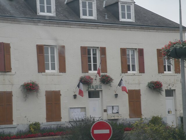
Saint-Laurent-des-Bois (Saint-Laurent-des-Bois)

- commune in Loir-et-Cher, France
- Country:

- Postal Code: 41240
- Coordinates: 47° 51' 3" N, 1° 26' 52" E


- GPS tracks (wikiloc): [Link]
- Area: 18.32 sq km
- Population: 288
- Wikipedia en: wiki(en)
- Wikipedia: wiki(fr)
- Wikidata storage: Wikidata: Q1170159
- Wikipedia Commons Category: [Link]
- Freebase ID: [/m/03qd2r4]
- GeoNames ID: Alt: [6434115]
- SIREN number: [214102196]
- BnF ID: [15259493b]
- VIAF ID: Alt: [240595679]
- INSEE municipality code: 41219
Shares border with regions:


Autainville
- commune in Loir-et-Cher, France
- Country:
- Postal Code: 41240
- Coordinates: 47° 52' 52" N, 1° 24' 56" E
- GPS tracks (wikiloc): [Link]
- Area: 25.01 sq km
- Population: 436

Binas
- commune in Loir-et-Cher, France
- Country:
- Postal Code: 41240
- Coordinates: 47° 54' 12" N, 1° 27' 45" E
- GPS tracks (wikiloc): [Link]
- Area: 26.38 sq km
- Population: 727
Le Plessis-l'Échelle
- commune in Loir-et-Cher, France
- Country:
- Postal Code: 41370
- Coordinates: 47° 48' 50" N, 1° 25' 45" E
- GPS tracks (wikiloc): [Link]
- Area: 11.7 sq km
- Population: 74
Lorges
- commune in Loir-et-Cher, France
- Country:
- Postal Code: 41370
- Coordinates: 47° 49' 25" N, 1° 29' 54" E
- GPS tracks (wikiloc): [Link]
- Area: 13.52 sq km
- Population: 368
- Web site: [Link]


Villermain
- commune in Loir-et-Cher, France
- Country:
- Postal Code: 41240
- Coordinates: 47° 51' 44" N, 1° 31' 47" E
- GPS tracks (wikiloc): [Link]
- Area: 28.75 sq km
- Population: 389


Marchenoir
- commune in Loir-et-Cher, France
- Country:
- Postal Code: 41370
- Coordinates: 47° 49' 24" N, 1° 23' 41" E
- GPS tracks (wikiloc): [Link]
- Area: 9.42 sq km
- Population: 639
Briou
- commune in Loir-et-Cher, France
- Country:
- Postal Code: 41370
- Coordinates: 47° 48' 48" N, 1° 28' 41" E
- GPS tracks (wikiloc): [Link]
- Area: 10.17 sq km
- Population: 150