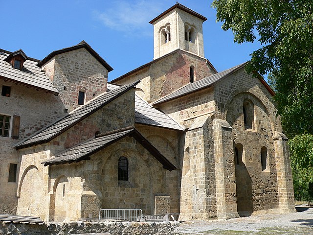
Baratier (Baratier)
- commune in Hautes-Alpes, France
 Hiking in Baratier
Baratier, a small commune located in the French Alps near the Écrins National Park, offers stunning landscapes and a variety of hiking opportunities. Here are some key points to consider when exploring this beautiful area:
Trails and Scenery
-
Diverse Terrain: Hiking in Baratier allows you to experience diverse landscapes, from lush valleys and wildflower meadows to rugged mountain peaks and serene lakes.
-
Great Lakes: Nearby, you will find the beautiful Lake de Serre-Ponçon, which is an ideal spot for a leisurely hike with picturesque views.
-
Écrins National Park: This national park is a short distance from Baratier and features numerous hiking trails that cater to all levels of hikers, from easy walks to challenging alpine routes.
Popular Hiking Routes
-
Col d'Agnel: A rewarding hike that offers breathtaking views of the surrounding peaks and valleys. The trail can be challenging but is well worth the effort.
-
Lac de l'Eychauda: This hike leads you to a stunning lake surrounded by mountains. It's an excellent choice for those looking for a scenic day hike.
-
Serre-Ponçon Loop: A more leisurely hike around the lake that allows you to take in the views and enjoy the natural beauty of the area.
Preparation and Tips
-
Seasonal Considerations: The best time for hiking in the region is typically from late spring through early autumn when the weather is mild, and the trails are clear of snow.
-
Gear: Ensure you have appropriate hiking gear, including sturdy boots, plenty of water, snacks, and a map or GPS device. Weather can change rapidly in the mountains, so layers and rain gear are advisable.
-
Local Guidance: Consider checking in with local guides or visitor centers for trail conditions, maps, and tips on safety, as they can provide valuable insights tailored to your hiking experience.
Wildlife and Conservation
Hiking in this region also offers opportunities to spot wildlife, such as ibex, chamois, and various bird species. Always practice Leave No Trace principles to keep the area pristine.
Overall, Baratier and its surrounding landscapes offer an unforgettable hiking experience filled with natural beauty, adventure, and serenity. Enjoy your hiking!
- Country:

- Postal Code: 05200
- Coordinates: 44° 32' 16" N, 6° 29' 43" E


- GPS tracks (wikiloc): [Link]
- Area: 15.99 sq km
- Population: 559
- Wikipedia en: wiki(en)
- Wikipedia: wiki(fr)
- Wikidata storage: Wikidata: Q873192
- Wikipedia Commons Category: [Link]
- Freebase ID: [/m/03mfm5x]
- Freebase ID: [/m/03mfm5x]
- GeoNames ID: Alt: [3035060]
- GeoNames ID: Alt: [3035060]
- SIREN number: [210500120]
- SIREN number: [210500120]
- PACTOLS thesaurus ID: [pcrtIVY78RiK4G]
- PACTOLS thesaurus ID: [pcrtIVY78RiK4G]
- INSEE municipality code: 05012
- INSEE municipality code: 05012
Shares border with regions:
Crots
- commune in Hautes-Alpes, France
Hiking in Crots
Crots, located in the French Alps within the Hautes-Alpes department, is a beautiful destination for hiking enthusiasts. The area is known for its stunning landscapes, including mountains, valleys, and picturesque villages. If you're planning a hiking trip in Crots, here are some key points to consider:...
- Country:
- Postal Code: 05200
- Coordinates: 44° 32' 1" N, 6° 28' 16" E
- GPS tracks (wikiloc): [Link]
- AboveSeaLevel: 790 м m
- Area: 53.84 sq km
- Population: 1022

Saint-Sauveur
- commune in Hautes-Alpes, France
Hiking in Saint-Sauveur
Saint-Sauveur in the Hautes-Alpes region of France is a beautiful destination for hiking enthusiasts. Nestled in the French Alps, it offers stunning landscapes, diverse terrain, and a variety of trails suitable for different skill levels. Here are some key points about hiking in this area:...
- Country:
- Postal Code: 05200
- Coordinates: 44° 32' 27" N, 6° 31' 13" E
- GPS tracks (wikiloc): [Link]
- Area: 24.18 sq km
- Population: 454

Les Orres
- commune in Hautes-Alpes, France
Hiking in Les Orres
Les Orres, located in the French Alps, is a fantastic destination for hiking enthusiasts. This charming mountain resort offers a variety of trails suitable for all levels, from beginners to experienced hikers. Here’s an overview to help you plan your hiking experience in Les Orres:...
- Country:
- Postal Code: 05200
- Coordinates: 44° 30' 50" N, 6° 33' 3" E
- GPS tracks (wikiloc): [Link]
- AboveSeaLevel: 1460 м m
- Area: 74.79 sq km
- Population: 569
- Web site: [Link]

Embrun
- commune in Hautes-Alpes, France
Hiking in Embrun
Embrun, located in the Hautes-Alpes region of France, is a fantastic destination for hiking enthusiasts. Nestled in the French Alps, the area boasts stunning landscapes, diverse flora and fauna, and a variety of trails suitable for all skill levels....
- Country:
- Postal Code: 05200
- Coordinates: 44° 33' 54" N, 6° 29' 43" E
- GPS tracks (wikiloc): [Link]
- AboveSeaLevel: 1789 м m
- Area: 36.39 sq km
- Population: 6177
- Web site: [Link]