.JPG)
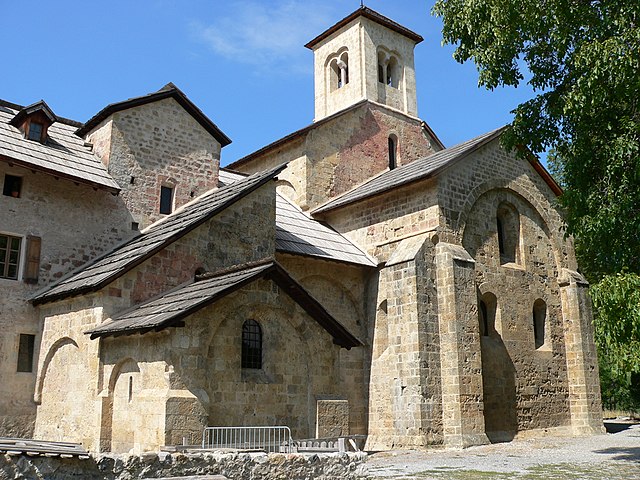
Embrun (Embrun)
- commune in Hautes-Alpes, France
 Hiking in Embrun
Embrun, located in the Hautes-Alpes region of France, is a fantastic destination for hiking enthusiasts. Nestled in the French Alps, the area boasts stunning landscapes, diverse flora and fauna, and a variety of trails suitable for all skill levels.
Key Highlights of Hiking in Embrun:
-
Scenic Trails: The region features a wide range of hiking trails, from leisurely walks to challenging treks. Popular routes include paths along the Durance River and trails that lead to breathtaking viewpoints overlooking the mountains and lakes.
-
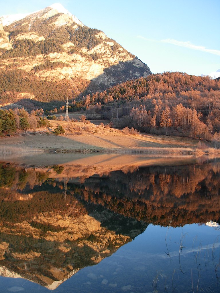
Lac de Serre-Ponçon: One of the largest artificial lakes in Europe, the area around Lac de Serre-Ponçon offers various hiking trails that provide stunning views of the water against the mountainous backdrop. This is a great spot for nature lovers and those seeking picturesque picnic spots.
-
Natural Parks: Embrun is close to the Écrins National Park, which offers a wealth of hiking opportunities. The park is known for its dramatic alpine scenery, rugged peaks, and diverse wildlife. Trails range from easy family walks to more strenuous hikes that require good physical fitness.
-
Mountain Passes and Peaks: For experienced hikers, there are several mountain passes and summits to explore. Popular peaks include the Grand Morgon and the Aiguille de la Mourre, which reward climbers with stunning panoramic views.
-
Flora and Fauna: The diverse ecosystems around Embrun host a variety of plant species and wildlife. Hikers may encounter endemic flowers and, if lucky, wildlife such as chamois, ibex, and various bird species.
-
Local Culture: Hiking in the Embrun area also allows for cultural exploration. You can visit charming villages, historical sites, and sample local cuisine in the numerous mountain inns and restaurants.
-
Seasonal Considerations: The best times for hiking in Embrun are late spring through early autumn when the weather is milder and trails are more easily accessible. However, winter hiking and snowshoeing can also be enjoyed in the colder months.
Hiking Tips:
- Preparation: Always check trail conditions and forecasts before heading out. Ensure you're equipped with proper hiking gear, including suitable footwear.
- Maps and Guides: Consider obtaining local hiking maps or joining guided hikes for a more in-depth experience.
- Water and Nutrition: Carry enough water and snacks, especially for longer hikes, to keep your energy levels up.
- Respect Nature: Following Leave No Trace principles helps preserve the natural beauty for future hikers.
Whether you're looking for a peaceful stroll or an adventurous climb, Embrun offers a wide range of opportunities for a memorable hiking experience in the French Alps.
- Country:

- Postal Code: 05200
- Coordinates: 44° 33' 54" N, 6° 29' 43" E


- GPS tracks (wikiloc): [Link]
- AboveSeaLevel: 1789 м m
- Area: 36.39 sq km
- Population: 6177
- Web site: http://www.ville-embrun.fr
- Wikipedia en: wiki(en)
- Wikipedia: wiki(fr)
- Wikidata storage: Wikidata: Q207610
- Wikipedia Commons Category: [Link]
- Freebase ID: [/m/06lk5x]
- GeoNames ID: Alt: [6446638]
- SIREN number: [210500468]
- VIAF ID: Alt: [237428091]
- GND ID: Alt: [4355633-4]
- MusicBrainz area ID: [1d3ef134-d7a1-41f5-ad3a-12ed139f5e96]
- INSEE municipality code: 05046
Shares border with regions:
Crots
- commune in Hautes-Alpes, France
Hiking in Crots
Crots, located in the French Alps within the Hautes-Alpes department, is a beautiful destination for hiking enthusiasts. The area is known for its stunning landscapes, including mountains, valleys, and picturesque villages. If you're planning a hiking trip in Crots, here are some key points to consider:...
- Country:
- Postal Code: 05200
- Coordinates: 44° 32' 1" N, 6° 28' 16" E
- GPS tracks (wikiloc): [Link]
- AboveSeaLevel: 790 м m
- Area: 53.84 sq km
- Population: 1022

Saint-Sauveur
- commune in Hautes-Alpes, France
Hiking in Saint-Sauveur
Saint-Sauveur in the Hautes-Alpes region of France is a beautiful destination for hiking enthusiasts. Nestled in the French Alps, it offers stunning landscapes, diverse terrain, and a variety of trails suitable for different skill levels. Here are some key points about hiking in this area:...
- Country:
- Postal Code: 05200
- Coordinates: 44° 32' 27" N, 6° 31' 13" E
- GPS tracks (wikiloc): [Link]
- Area: 24.18 sq km
- Population: 454
Saint-André-d'Embrun
- commune in Hautes-Alpes, France
Hiking in Saint-André-d'Embrun
Saint-André-d'Embrun is a charming village located in the southeastern part of France, nestled in the Hautes-Alpes region. It offers a variety of hiking opportunities that cater to different experience levels, making it a great destination for outdoor enthusiasts....
- Country:
- Postal Code: 05200
- Coordinates: 44° 35' 10" N, 6° 32' 2" E
- GPS tracks (wikiloc): [Link]
- Area: 38.63 sq km
- Population: 644
Réallon
- commune in Hautes-Alpes, France
Hiking in Réallon
Réallon is a picturesque village located in the French Alps, particularly in the Hautes-Alpes department. It’s a fantastic destination for hiking enthusiasts, offering a mix of stunning landscapes, diverse trails, and breathtaking views of the surrounding mountains and lakes. Here are some key details to consider when hiking in Réallon:...
- Country:
- Postal Code: 05160
- Coordinates: 44° 35' 44" N, 6° 21' 53" E
- GPS tracks (wikiloc): [Link]
- Area: 71.4 sq km
- Population: 260
- Web site: [Link]

Puy-Sanières
- commune in Hautes-Alpes, France
Hiking in Puy-Sanières
Puy-Sanières is a charming village located in the Hautes-Alpes region of France and offers stunning hiking opportunities in the surrounding areas. The region is characterized by its beautiful landscapes, including mountains, plateaus, and valleys, making it a great destination for outdoor enthusiasts....
- Country:
- Postal Code: 05200
- Coordinates: 44° 33' 29" N, 6° 26' 3" E
- GPS tracks (wikiloc): [Link]
- Area: 11.38 sq km
- Population: 257

Châteauroux-les-Alpes
- commune in Hautes-Alpes, France
Hiking in Châteauroux-les-Alpes
Châteauroux-les-Alpes is a charming village located in the Hautes-Alpes department in southeastern France. It is surrounded by beautiful mountainous landscapes, making it a great base for hiking enthusiasts. Here are some highlights of hiking in and around Châteauroux-les-Alpes:...
- Country:
- Postal Code: 05380
- Coordinates: 44° 36' 52" N, 6° 31' 19" E
- GPS tracks (wikiloc): [Link]
- Area: 92.84 sq km
- Population: 1146

Baratier
- commune in Hautes-Alpes, France
Hiking in Baratier
Baratier, a small commune located in the French Alps near the Écrins National Park, offers stunning landscapes and a variety of hiking opportunities. Here are some key points to consider when exploring this beautiful area:...
- Country:
- Postal Code: 05200
- Coordinates: 44° 32' 16" N, 6° 29' 43" E
- GPS tracks (wikiloc): [Link]
- Area: 15.99 sq km
- Population: 559

Puy-Saint-Eusèbe
- commune in Hautes-Alpes, France
Hiking in Puy-Saint-Eusèbe
Puy-Saint-Eusèbe is a charming destination for hiking enthusiasts, nestled in the region of Auvergne-Rhône-Alpes in southeastern France. The area is known for its stunning landscapes, characterized by rolling hills, deep valleys, and picturesque views of the surrounding mountains....
- Country:
- Postal Code: 05200
- Coordinates: 44° 34' 4" N, 6° 24' 4" E
- GPS tracks (wikiloc): [Link]
- Area: 11.31 sq km
- Population: 137