Beaumarchés (Beaumarchés)

- commune in Gers, France
- Country:

- Postal Code: 32160
- Coordinates: 43° 35' 9" N, 0° 5' 23" E


- GPS tracks (wikiloc): [Link]
- Area: 32.47 sq km
- Population: 673
- Wikipedia en: wiki(en)
- Wikipedia: wiki(fr)
- Wikidata storage: Wikidata: Q1041910
- Wikipedia Commons Category: [Link]
- Freebase ID: [/m/03nrnm_]
- GeoNames ID: Alt: [6614105]
- SIREN number: [213200363]
- BnF ID: [15255623r]
- VIAF ID: Alt: [242327128]
- INSEE municipality code: 32036
Shares border with regions:
Tourdun
- commune in Gers, France
- Country:
- Postal Code: 32230
- Coordinates: 43° 32' 55" N, 0° 9' 7" E
- GPS tracks (wikiloc): [Link]
- Area: 6.95 sq km
- Population: 105
Saint-Aunix-Lengros
- commune in Gers, France
- Country:
- Postal Code: 32160
- Coordinates: 43° 34' 40" N, 0° 3' 6" E
- GPS tracks (wikiloc): [Link]
- Area: 5.36 sq km
- Population: 143
Juillac
- commune in Gers, France
- Country:
- Postal Code: 32230
- Coordinates: 43° 32' 34" N, 0° 7' 37" E
- GPS tracks (wikiloc): [Link]
- Area: 7.49 sq km
- Population: 123
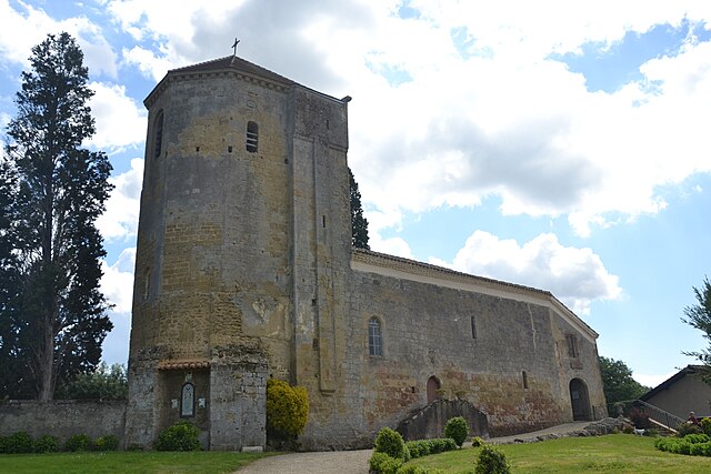
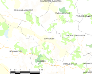
Louslitges
- commune in Gers, France
- Country:
- Postal Code: 32230
- Coordinates: 43° 35' 43" N, 0° 9' 52" E
- GPS tracks (wikiloc): [Link]
- Area: 12.03 sq km
- Population: 77


Courties
- commune in Gers, France
- Country:
- Postal Code: 32230
- Coordinates: 43° 34' 30" N, 0° 9' 24" E
- GPS tracks (wikiloc): [Link]
- Area: 6.02 sq km
- Population: 53


Lasserade
- commune in Gers, France
- Country:
- Postal Code: 32160
- Coordinates: 43° 37' 29" N, 0° 3' 48" E
- GPS tracks (wikiloc): [Link]
- Area: 12.76 sq km
- Population: 206


Ladevèze-Rivière
- commune in Gers, France
- Country:
- Postal Code: 32230
- Coordinates: 43° 33' 7" N, 0° 4' 25" E
- GPS tracks (wikiloc): [Link]
- Area: 13.54 sq km
- Population: 216
- Web site: [Link]


Plaisance
- commune in Gers, France
- Country:
- Postal Code: 32160
- Coordinates: 43° 36' 20" N, 0° 2' 47" E
- GPS tracks (wikiloc): [Link]
- Area: 13.71 sq km
- Population: 1487
- Web site: [Link]


Couloumé-Mondebat
- commune in Gers, France
- Country:
- Postal Code: 32160
- Coordinates: 43° 38' 28" N, 0° 5' 33" E
- GPS tracks (wikiloc): [Link]
- Area: 22.85 sq km
- Population: 195