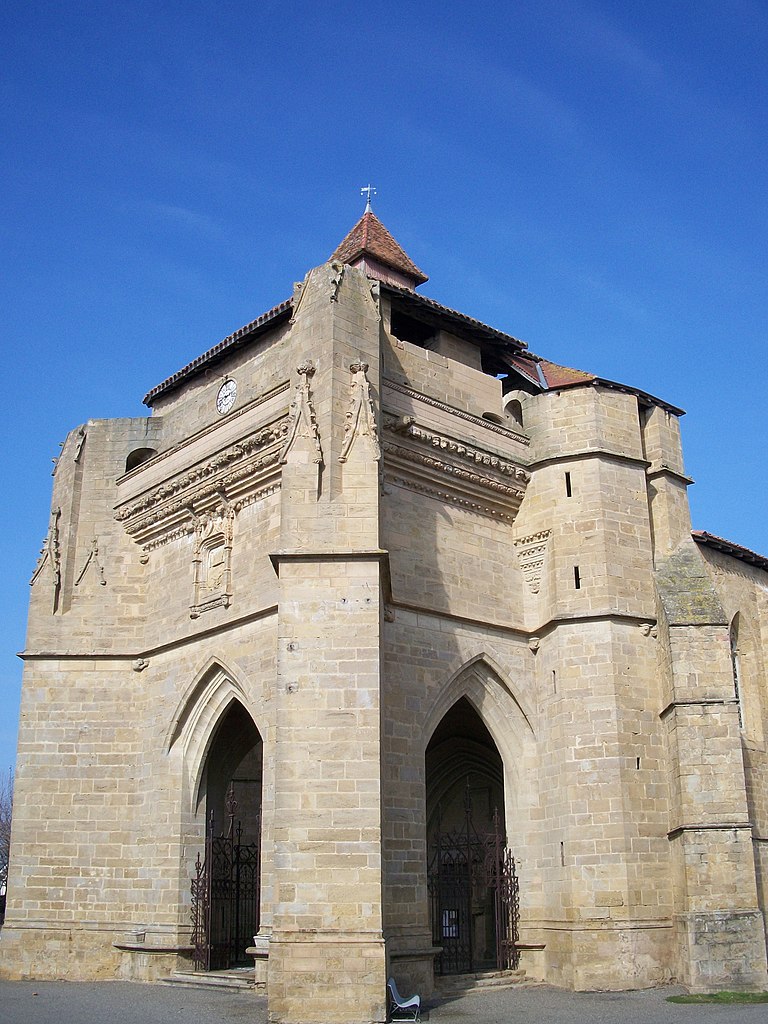
Courties (Courties)

- commune in Gers, France
- Country:

- Postal Code: 32230
- Coordinates: 43° 34' 30" N, 0° 9' 24" E


- GPS tracks (wikiloc): [Link]
- Area: 6.02 sq km
- Population: 53
- Wikipedia en: wiki(en)
- Wikipedia: wiki(fr)
- Wikidata storage: Wikidata: Q615452
- Wikipedia Commons Category: [Link]
- Freebase ID: [/m/03nrpkk]
- GeoNames ID: Alt: [6431896]
- SIREN number: [213201114]
- BnF ID: [15255698n]
- INSEE municipality code: 32111
Shares border with regions:
Tourdun
- commune in Gers, France
- Country:
- Postal Code: 32230
- Coordinates: 43° 32' 55" N, 0° 9' 7" E
- GPS tracks (wikiloc): [Link]
- Area: 6.95 sq km
- Population: 105

Beaumarchés
- commune in Gers, France
- Country:
- Postal Code: 32160
- Coordinates: 43° 35' 9" N, 0° 5' 23" E
- GPS tracks (wikiloc): [Link]
- Area: 32.47 sq km
- Population: 673
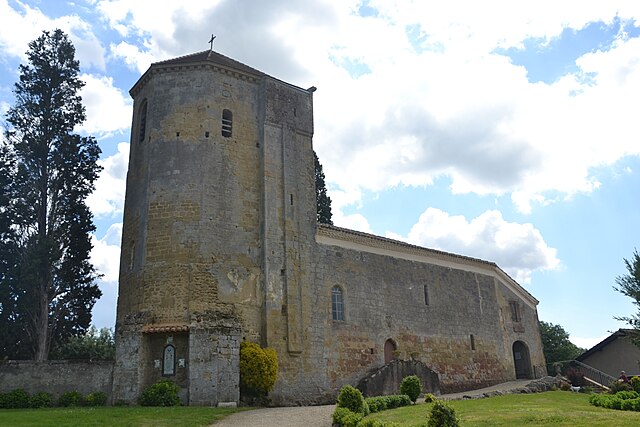
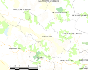
Louslitges
- commune in Gers, France
- Country:
- Postal Code: 32230
- Coordinates: 43° 35' 43" N, 0° 9' 52" E
- GPS tracks (wikiloc): [Link]
- Area: 12.03 sq km
- Population: 77


Armous-et-Cau
- commune in Gers, France
- Country:
- Postal Code: 32230
- Coordinates: 43° 34' 24" N, 0° 11' 24" E
- GPS tracks (wikiloc): [Link]
- Area: 9.33 sq km
- Population: 86