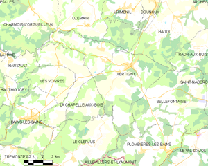
Bellefontaine (Bellefontaine)

- commune in Vosges, France
- Country:

- Postal Code: 88370
- Coordinates: 48° 0' 47" N, 6° 26' 34" E


- GPS tracks (wikiloc): [Link]
- Area: 39.11 sq km
- Population: 997
- Wikipedia en: wiki(en)
- Wikipedia: wiki(fr)
- Wikidata storage: Wikidata: Q676717
- Wikipedia Commons Category: [Link]
- Freebase ID: [/m/03qgv83]
- Freebase ID: [/m/03qgv83]
- GeoNames ID: Alt: [3033708]
- GeoNames ID: Alt: [3033708]
- SIREN number: [218800480]
- SIREN number: [218800480]
- BnF ID: [15278977n]
- BnF ID: [15278977n]
- INSEE municipality code: 88048
- INSEE municipality code: 88048
Shares border with regions:


Saint-Nabord
- commune in Vosges, France
- Country:
- Postal Code: 88200
- Coordinates: 48° 2' 58" N, 6° 34' 47" E
- GPS tracks (wikiloc): [Link]
- Area: 38.5 sq km
- Population: 4057
- Web site: [Link]

Xertigny
- commune in Vosges, France
- Country:
- Postal Code: 88220
- Coordinates: 48° 2' 44" N, 6° 24' 22" E
- GPS tracks (wikiloc): [Link]
- Area: 50.25 sq km
- Population: 2631
- Web site: [Link]


Plombières-les-Bains
- commune in Vosges, France
- Country:
- Postal Code: 88370
- Coordinates: 47° 57' 59" N, 6° 27' 47" E
- GPS tracks (wikiloc): [Link]
- Area: 27.2 sq km
- Population: 1699
- Web site: [Link]


Raon-aux-Bois
- commune in Vosges, France
- Country:
- Postal Code: 88220
- Coordinates: 48° 3' 24" N, 6° 31' 16" E
- GPS tracks (wikiloc): [Link]
- Area: 24.05 sq km
- Population: 1250