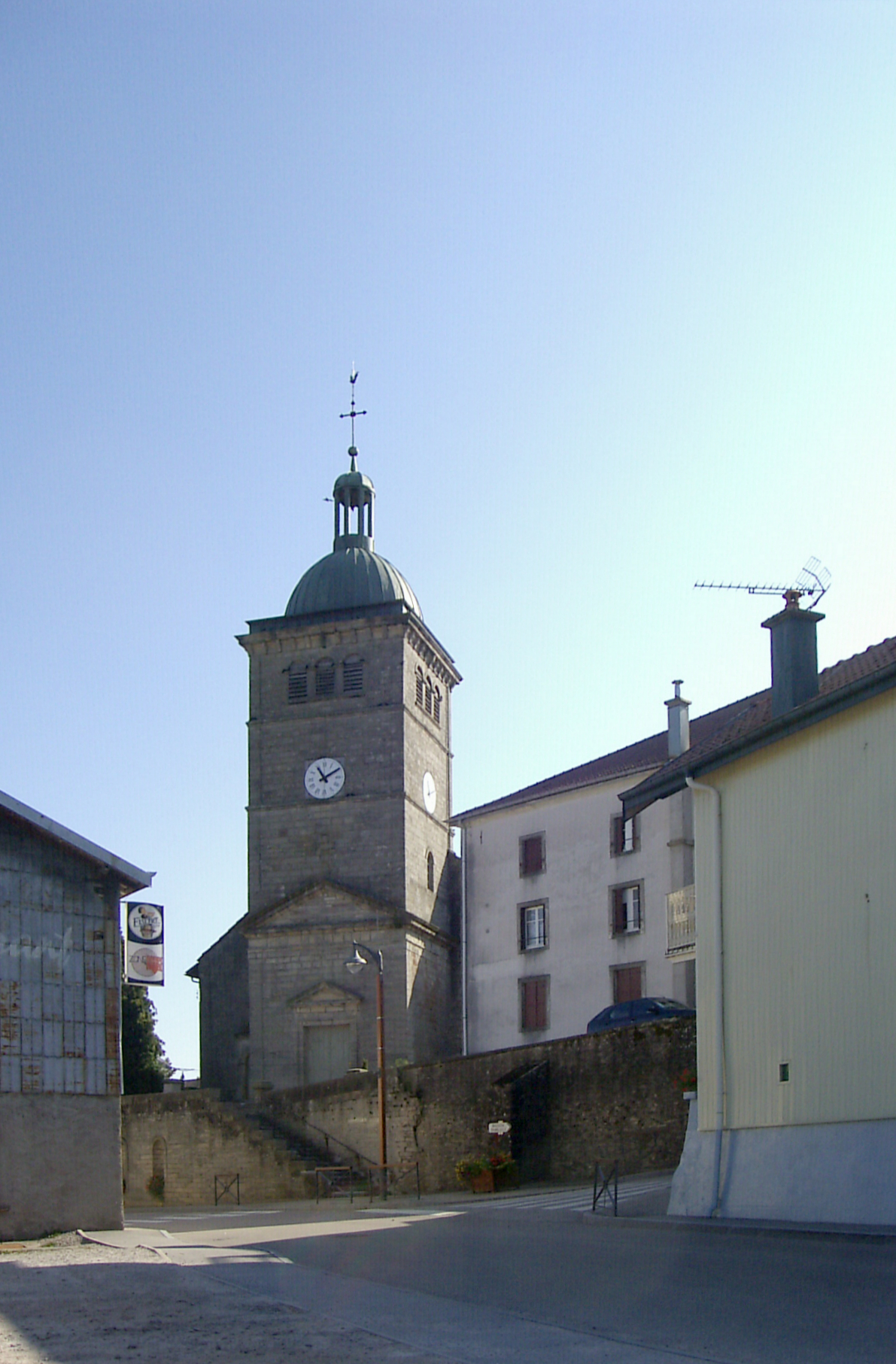
Xertigny (Xertigny)

- commune in Vosges, France
- Country:

- Postal Code: 88220
- Coordinates: 48° 2' 44" N, 6° 24' 22" E


- GPS tracks (wikiloc): [Link]
- Area: 50.25 sq km
- Population: 2631
- Web site: http://www.mairie-xertigny.fr
- Wikipedia en: wiki(en)
- Wikipedia: wiki(fr)
- Wikidata storage: Wikidata: Q474291
- Wikipedia Commons Category: [Link]
- Freebase ID: [/m/03qgvs8]
- GeoNames ID: Alt: [2967269]
- SIREN number: [218805307]
- BnF ID: [152794498]
- INSEE municipality code: 88530
Shares border with regions:

Hadol
- commune in Vosges, France
- Country:
- Postal Code: 88220
- Coordinates: 48° 5' 28" N, 6° 28' 42" E
- GPS tracks (wikiloc): [Link]
- Area: 49.05 sq km
- Population: 2391
- Web site: [Link]

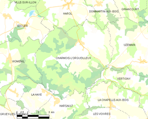
Charmois-l'Orgueilleux
- commune in Vosges, France
- Country:
- Postal Code: 88270
- Coordinates: 48° 6' 12" N, 6° 16' 14" E
- GPS tracks (wikiloc): [Link]
- Area: 35.92 sq km
- Population: 591
- Web site: [Link]
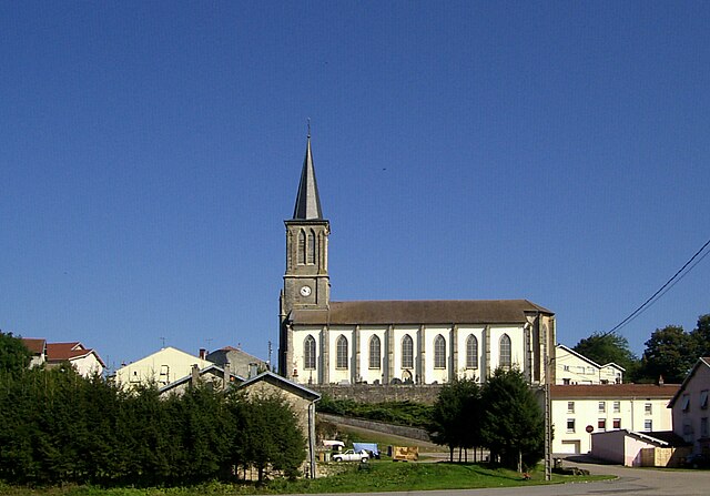
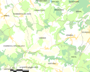
Uzemain
- commune in Vosges, France
- Country:
- Postal Code: 88220
- Coordinates: 48° 5' 8" N, 6° 20' 42" E
- GPS tracks (wikiloc): [Link]
- Area: 27.3 sq km
- Population: 1088
- Web site: [Link]


Plombières-les-Bains
- commune in Vosges, France
- Country:
- Postal Code: 88370
- Coordinates: 47° 57' 59" N, 6° 27' 47" E
- GPS tracks (wikiloc): [Link]
- Area: 27.2 sq km
- Population: 1699
- Web site: [Link]


Le Clerjus
- commune in Vosges, France
- Country:
- Postal Code: 88240
- Coordinates: 47° 57' 34" N, 6° 19' 17" E
- GPS tracks (wikiloc): [Link]
- Area: 32.93 sq km
- Population: 561


Bellefontaine
- commune in Vosges, France
- Country:
- Postal Code: 88370
- Coordinates: 48° 0' 47" N, 6° 26' 34" E
- GPS tracks (wikiloc): [Link]
- Area: 39.11 sq km
- Population: 997


Raon-aux-Bois
- commune in Vosges, France
- Country:
- Postal Code: 88220
- Coordinates: 48° 3' 24" N, 6° 31' 16" E
- GPS tracks (wikiloc): [Link]
- Area: 24.05 sq km
- Population: 1250


La Chapelle-aux-Bois
- commune in Vosges, France
- Country:
- Postal Code: 88240
- Coordinates: 48° 2' 13" N, 6° 19' 56" E
- GPS tracks (wikiloc): [Link]
- Area: 30.65 sq km
- Population: 666
- Web site: [Link]