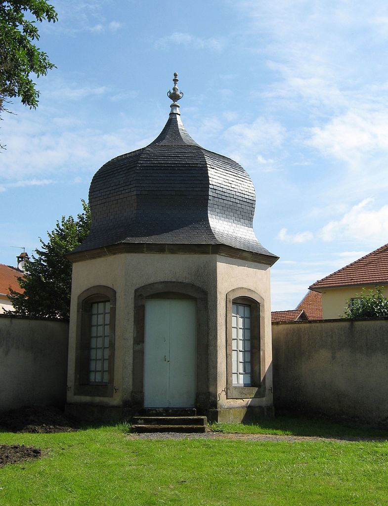
Belles-Forêts (Belles-Forêts)

- commune in Moselle, France
- Country:

- Postal Code: 57930
- Coordinates: 48° 48' 20" N, 6° 53' 32" E


- GPS tracks (wikiloc): [Link]
- AboveSeaLevel: 230 м m
- Area: 26.57 sq km
- Population: 246
- Wikipedia en: wiki(en)
- Wikipedia: wiki(fr)
- Wikidata storage: Wikidata: Q21699
- Wikipedia Commons Category: [Link]
- Freebase ID: [/m/03qdwg5]
- Freebase ID: [/m/03qdwg5]
- GeoNames ID: Alt: [6617134]
- GeoNames ID: Alt: [6617134]
- SIREN number: [215700865]
- SIREN number: [215700865]
- BnF ID: [15265596w]
- BnF ID: [15265596w]
- VIAF ID: Alt: [241905157]
- VIAF ID: Alt: [241905157]
- INSEE municipality code: 57086
- INSEE municipality code: 57086
Shares border with regions:

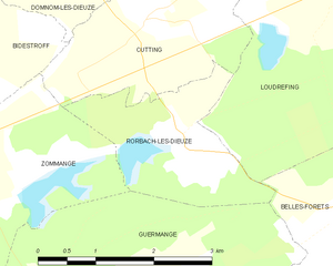
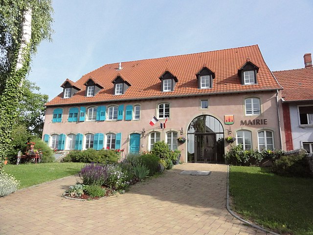
Rorbach-lès-Dieuze
- commune in Moselle, France
- Country:
- Postal Code: 57260
- Coordinates: 48° 49' 48" N, 6° 50' 34" E
- GPS tracks (wikiloc): [Link]
- Area: 4.21 sq km
- Population: 56


Loudrefing
- commune in Moselle, France
- Country:
- Postal Code: 57670
- Coordinates: 48° 51' 7" N, 6° 52' 45" E
- GPS tracks (wikiloc): [Link]
- Area: 23 sq km
- Population: 321

Haut-Clocher
- commune in Moselle, France
- Country:
- Postal Code: 57400
- Coordinates: 48° 45' 31" N, 7° 0' 2" E
- GPS tracks (wikiloc): [Link]
- Area: 11.44 sq km
- Population: 335

Mittersheim
- commune in Moselle, France
- Country:
- Postal Code: 57930
- Coordinates: 48° 51' 40" N, 6° 56' 31" E
- GPS tracks (wikiloc): [Link]
- Area: 16.77 sq km
- Population: 598

Desseling
- commune in Moselle, France
- Country:
- Postal Code: 57260
- Coordinates: 48° 47' 5" N, 6° 50' 39" E
- GPS tracks (wikiloc): [Link]
- Area: 5.05 sq km
- Population: 111


Saint-Jean-de-Bassel
- commune in Moselle, France
- Country:
- Postal Code: 57930
- Coordinates: 48° 48' 13" N, 6° 59' 26" E
- GPS tracks (wikiloc): [Link]
- Area: 10.05 sq km
- Population: 338


Fribourg
- commune in Moselle, France
- Country:
- Postal Code: 57810
- Coordinates: 48° 46' 1" N, 6° 51' 23" E
- GPS tracks (wikiloc): [Link]
- Area: 17.42 sq km
- Population: 166

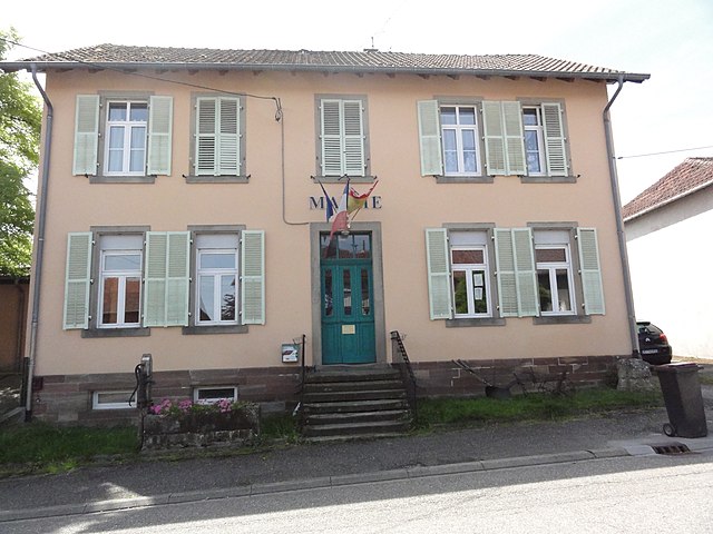
Guermange
- commune in Moselle, France
- Country:
- Postal Code: 57260
- Coordinates: 48° 47' 40" N, 6° 48' 41" E
- GPS tracks (wikiloc): [Link]
- Area: 17.64 sq km
- Population: 93