canton of Fénétrange (canton de Fénétrange)
- canton of France (until March 2015)
- Country:

- Capital: Fénétrange
- Coordinates: 48° 48' 38" N, 7° 2' 43" E


- GPS tracks (wikiloc): [Link]
- Wikidata storage: Wikidata: Q1287897
- INSEE canton code: [5710]
Includes regions:


Gosselming
- commune in Moselle, France
- Country:

- Postal Code: 57930
- Coordinates: 48° 47' 31" N, 7° 0' 10" E


- GPS tracks (wikiloc): [Link]
- Area: 10.15 sq km
- Population: 602


Belles-Forêts
- commune in Moselle, France
- Country:

- Postal Code: 57930
- Coordinates: 48° 48' 20" N, 6° 53' 32" E


- GPS tracks (wikiloc): [Link]
- AboveSeaLevel: 230 м m
- Area: 26.57 sq km
- Population: 246


Dolving
- commune in Moselle, France
- Country:

- Postal Code: 57400
- Coordinates: 48° 46' 31" N, 7° 1' 14" E


- GPS tracks (wikiloc): [Link]
- Area: 6.66 sq km
- Population: 363


Berthelming
- commune in Moselle, France
- Country:

- Postal Code: 57930
- Coordinates: 48° 48' 58" N, 7° 0' 21" E


- GPS tracks (wikiloc): [Link]
- Area: 10.67 sq km
- Population: 506


Hellering-lès-Fénétrange
- commune in Moselle, France
- Country:

- Postal Code: 57930
- Coordinates: 48° 48' 35" N, 7° 3' 49" E


- GPS tracks (wikiloc): [Link]
- Area: 4.05 sq km
- Population: 196
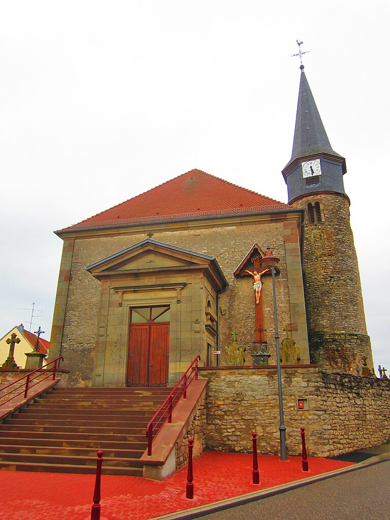

Hilbesheim
- commune in Moselle, France
- Country:

- Postal Code: 57400
- Coordinates: 48° 46' 36" N, 7° 5' 46" E


- GPS tracks (wikiloc): [Link]
- Area: 7.52 sq km
- Population: 616


Romelfing
- commune in Moselle, France
- Country:

- Postal Code: 57930
- Coordinates: 48° 49' 49" N, 7° 1' 30" E


- GPS tracks (wikiloc): [Link]
- Area: 10.69 sq km
- Population: 361
- Web site: [Link]


Sarraltroff
- commune in Moselle, France
- Country:

- Postal Code: 57400
- Coordinates: 48° 46' 26" N, 7° 3' 46" E


- GPS tracks (wikiloc): [Link]
- Area: 11.97 sq km
- Population: 737


Niederstinzel
- commune in Moselle, France
- Country:

- Postal Code: 57930
- Coordinates: 48° 51' 45" N, 7° 1' 53" E


- GPS tracks (wikiloc): [Link]
- Area: 12.96 sq km
- Population: 262
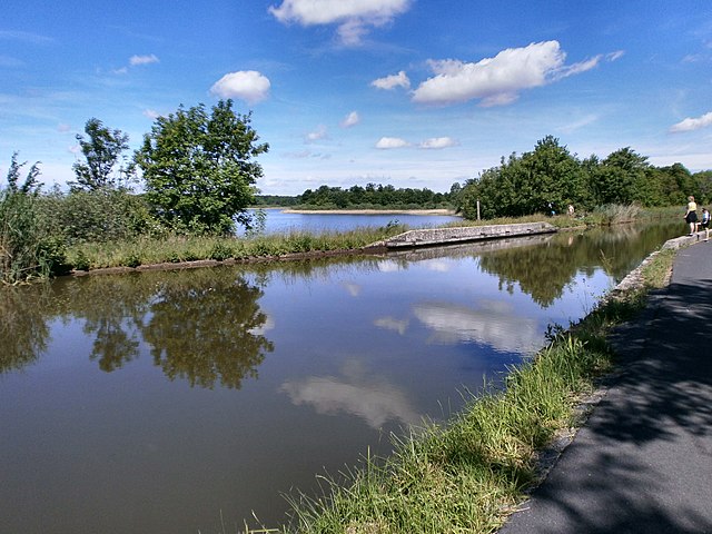

Mittersheim
- commune in Moselle, France
- Country:

- Postal Code: 57930
- Coordinates: 48° 51' 40" N, 6° 56' 31" E


- GPS tracks (wikiloc): [Link]
- Area: 16.77 sq km
- Population: 598

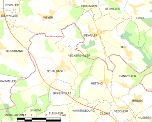
Veckersviller
- commune in Moselle, France
- Country:

- Postal Code: 57370
- Coordinates: 48° 50' 27" N, 7° 10' 47" E


- GPS tracks (wikiloc): [Link]
- Area: 4.79 sq km
- Population: 243
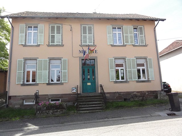

Desseling
- commune in Moselle, France
- Country:

- Postal Code: 57260
- Coordinates: 48° 47' 5" N, 6° 50' 39" E


- GPS tracks (wikiloc): [Link]
- Area: 5.05 sq km
- Population: 111


Bickenholtz
- commune in Moselle, France
- Country:

- Postal Code: 57635
- Coordinates: 48° 48' 15" N, 7° 9' 54" E


- GPS tracks (wikiloc): [Link]
- Area: 2.46 sq km
- Population: 78


Schalbach
- commune in Moselle, France
- Country:

- Postal Code: 57370
- Coordinates: 48° 49' 22" N, 7° 10' 14" E


- GPS tracks (wikiloc): [Link]
- Area: 12.58 sq km
- Population: 336


Vieux-Lixheim
- commune in Moselle, France
- Country:

- Postal Code: 57635
- Coordinates: 48° 46' 40" N, 7° 7' 57" E


- GPS tracks (wikiloc): [Link]
- Area: 6.45 sq km
- Population: 260


Saint-Jean-de-Bassel
- commune in Moselle, France
- Country:

- Postal Code: 57930
- Coordinates: 48° 48' 13" N, 6° 59' 26" E


- GPS tracks (wikiloc): [Link]
- Area: 10.05 sq km
- Population: 338


Fleisheim
- commune in Moselle, France
- Country:

- Postal Code: 57635
- Coordinates: 48° 47' 19" N, 7° 9' 44" E


- GPS tracks (wikiloc): [Link]
- Area: 4.11 sq km
- Population: 156


Oberstinzel
- commune in Moselle, France
- Country:

- Postal Code: 57930
- Coordinates: 48° 47' 39" N, 7° 2' 3" E


- GPS tracks (wikiloc): [Link]
- Area: 5.07 sq km
- Population: 355


Postroff
- commune in Moselle, France
- Country:

- Postal Code: 57930
- Coordinates: 48° 51' 4" N, 7° 4' 46" E


- GPS tracks (wikiloc): [Link]
- Area: 5 sq km
- Population: 212

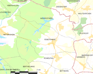
Fénétrange
- commune in Moselle, France
- Country:

- Postal Code: 57930
- Coordinates: 48° 50' 44" N, 7° 1' 11" E


- GPS tracks (wikiloc): [Link]
- Area: 14.49 sq km
- Population: 707


Bettborn
- commune in Moselle, France
- Country:

- Postal Code: 57930
- Coordinates: 48° 48' 3" N, 7° 1' 17" E


- GPS tracks (wikiloc): [Link]
- Area: 6.57 sq km
- Population: 424