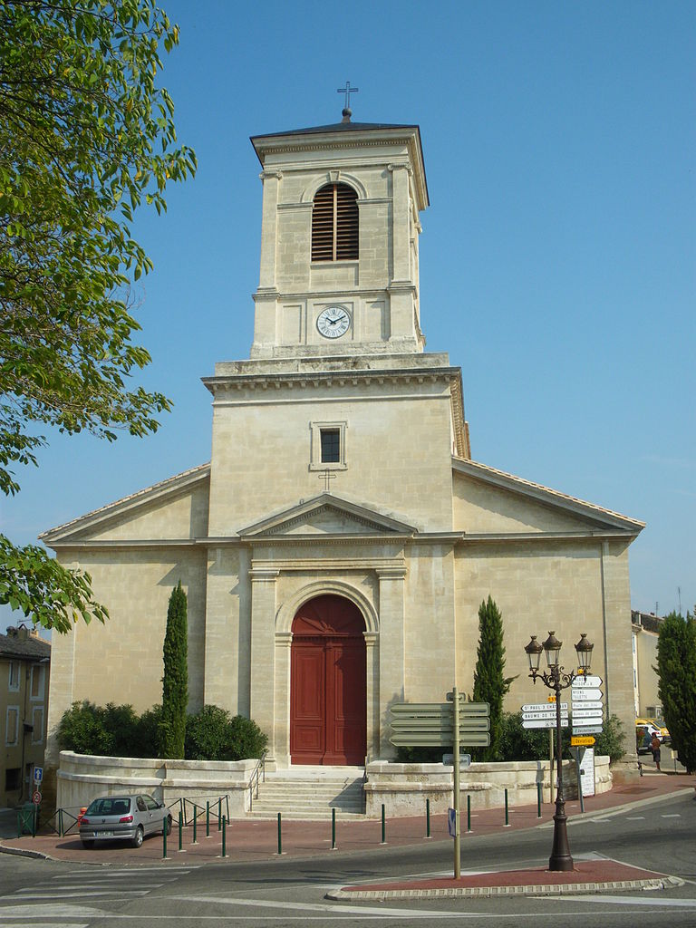
Bouchet (Bouchet)

- commune in Drôme, France
 Hiking in Bouchet
Bouchet is a charming village located in the Drôme department of the Auvergne-Rhône-Alpes region in southeastern France. It is surrounded by stunning landscapes, making it an excellent destination for hiking enthusiasts. Here are some key points to consider when hiking in and around Bouchet:
1.
- The area around Bouchet offers a variety of trails that cater to different skill levels, from easy walks suitable for families to more challenging hikes for experienced trekkers.
- Hikes often provide breathtaking views of the surrounding countryside, including lush forests, rolling hills, and the iconic lavender fields that the region is known for in the summer.
2.
- Hikers can enjoy the rich biodiversity in the region, with opportunities to spot various wildlife, such as deer, birds, and other native species.
- The area is also home to diverse flora, including wildflowers and aromatic herbs, particularly during the spring and summer months.
3.
- Along your hikes, you may encounter historical sites, including old stone houses, chapels, and remnants of ancient agricultural terraces.
- The local culture and traditions can add a unique flavor to your hiking experience.
4.
- Spring and fall are generally the best times for hiking, as temperatures are mild and the scenery is particularly beautiful.
- Summer can be quite hot, so it’s essential to hike early in the morning or later in the evening to avoid the heat. Always carry plenty of water.
5.
- Suitable hiking footwear is crucial, as some trails may be rocky or uneven.
- It’s always a good idea to carry a map, compass, or GPS device, especially if you plan to explore lesser-known paths.
- Sun protection and insect repellent are advisable during warmer months.
6.
- Connect with local hiking clubs or guides who can offer insights into the best trails and hidden gems in the region.
- Consider visiting the local tourist office for maps, trail brochures, and information about guided hikes.
7.
- Always inform someone of your hiking plans, especially if you’re going off the beaten path.
- Be aware of weather conditions and prepare accordingly, as they can change rapidly in mountainous regions.
Hiking in Bouchet offers a wonderful opportunity to experience the natural beauty and tranquility of the Drôme region. Whether you're an experienced hiker or a beginner, you'll likely find trails that suit your interests and fitness level. Enjoy your adventure!
- Country:

- Postal Code: 26790
- Coordinates: 44° 17' 57" N, 4° 52' 23" E


- GPS tracks (wikiloc): [Link]
- Area: 11.89 sq km
- Population: 1454
- Wikipedia en: wiki(en)
- Wikipedia: wiki(fr)
- Wikidata storage: Wikidata: Q381506
- Wikipedia Commons Category: [Link]
- Freebase ID: [/m/03mgkxv]
- Freebase ID: [/m/03mgkxv]
- GeoNames ID: Alt: [6612988]
- GeoNames ID: Alt: [6612988]
- SIREN number: [212600548]
- SIREN number: [212600548]
- BnF ID: [152529157]
- BnF ID: [152529157]
- INSEE municipality code: 26054
- INSEE municipality code: 26054
Shares border with regions:


Visan
- commune in Vaucluse, France
Hiking in Visan
Visan, a charming commune located in the Vaucluse department in the Provence-Alpes-Côte d'Azur region of France, offers a delightful setting for hiking enthusiasts. The region is known for its picturesque landscapes, historic villages, and diverse flora and fauna....
- Country:
- Postal Code: 84820
- Coordinates: 44° 18' 53" N, 4° 57' 2" E
- GPS tracks (wikiloc): [Link]
- Area: 41.07 sq km
- Population: 1961
- Web site: [Link]

Suze-la-Rousse
- commune in Drôme, France
- Country:
- Postal Code: 26790
- Coordinates: 44° 17' 17" N, 4° 50' 32" E
- GPS tracks (wikiloc): [Link]
- Area: 30.6 sq km
- Population: 2066


Tulette
- commune in Drôme, France
Hiking in Tulette
Tulette is a charming commune located in the Vaucluse department of the Provence-Alpes-Côte d'Azur region in southeastern France. While it's not a major hiking destination like some of the larger national parks or mountain ranges in France, it offers a lovely setting for those looking to enjoy a more relaxed hiking experience in the French countryside....
- Country:
- Postal Code: 26790
- Coordinates: 44° 17' 11" N, 4° 55' 51" E
- GPS tracks (wikiloc): [Link]
- Area: 23.53 sq km
- Population: 1963

La Baume-de-Transit
- commune in Drôme, France
Hiking in La Baume-de-Transit
La Baume-de-Transit is a charming village located in the Drôme department of southeastern France. It's surrounded by beautiful landscapes, making it an excellent destination for hiking enthusiasts. The area boasts a mix of gentle hills, vineyards, and is near the picturesque Rhône Valley, providing various trails suitable for different skill levels....
- Country:
- Postal Code: 26790
- Coordinates: 44° 20' 18" N, 4° 51' 56" E
- GPS tracks (wikiloc): [Link]
- Area: 12.05 sq km
- Population: 855