Bourdonnay (Bourdonnay)
- commune in Moselle, France
- Country:

- Postal Code: 57810
- Coordinates: 48° 43' 12" N, 6° 43' 44" E


- GPS tracks (wikiloc): [Link]
- Area: 17.4 sq km
- Population: 238
- Wikipedia en: wiki(en)
- Wikipedia: wiki(fr)
- Wikidata storage: Wikidata: Q21625
- Wikipedia Commons Category: [Link]
- Freebase ID: [/m/03qdwsl]
- Freebase ID: [/m/03qdwsl]
- GeoNames ID: Alt: [6614302]
- GeoNames ID: Alt: [6614302]
- SIREN number: [215700998]
- SIREN number: [215700998]
- BnF ID: [152656082]
- BnF ID: [152656082]
- VIAF ID: Alt: [234376990]
- VIAF ID: Alt: [234376990]
- PACTOLS thesaurus ID: [pcrtsjUNiXR3ux]
- PACTOLS thesaurus ID: [pcrtsjUNiXR3ux]
- INSEE municipality code: 57099
- INSEE municipality code: 57099
Shares border with regions:


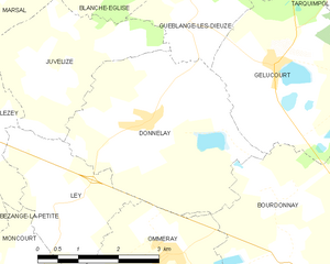
Donnelay
- commune in Moselle, France
- Country:

- Postal Code: 57810
- Coordinates: 48° 45' 8" N, 6° 40' 52" E


- GPS tracks (wikiloc): [Link]
- Area: 13.02 sq km
- Population: 191


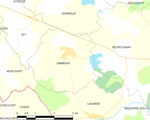
Ommeray
- commune in Moselle, France
- Country:

- Postal Code: 57810
- Coordinates: 48° 43' 24" N, 6° 41' 14" E


- GPS tracks (wikiloc): [Link]
- Area: 10.12 sq km
- Population: 115


Lagarde
- commune in Moselle, France
- Country:

- Postal Code: 57810
- Coordinates: 48° 41' 29" N, 6° 42' 18" E


- GPS tracks (wikiloc): [Link]
- Area: 22.26 sq km
- Population: 186


Gelucourt
- commune in Moselle, France
- Country:

- Postal Code: 57260
- Coordinates: 48° 45' 53" N, 6° 43' 35" E


- GPS tracks (wikiloc): [Link]
- Area: 12.34 sq km
- Population: 224


Maizières-lès-Vic
- commune in Moselle, France
- Country:

- Postal Code: 57810
- Coordinates: 48° 43' 9" N, 6° 46' 30" E


- GPS tracks (wikiloc): [Link]
- Area: 25.99 sq km
- Population: 524
