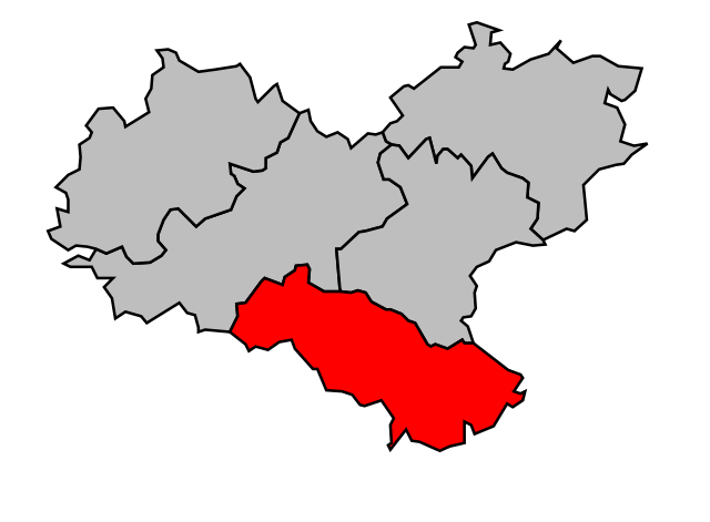
arrondissement of Château-Salins (arrondissement de Château-Salins)

- former arrondissement of France
- Country:

- Capital: Château-Salins
- Coordinates: 48° 50' 0" N, 6° 35' 0" E


- GPS tracks (wikiloc): [Link]
- Wikipedia en: wiki(en)
- Wikipedia: wiki(fr)
- Wikidata storage: Wikidata: Q700954
- Wikipedia Commons Category: [Link]
- Freebase ID: [/m/0956gc]
- GeoNames ID: Alt: [3026199]
- INSEE arrondissement code: [572]
- GNS Unique Feature ID: -1419147
Includes regions:

canton of Château-Salins
- canton of France (until March 2015)
- Country:
- Capital: Château-Salins
- Coordinates: 48° 50' 40" N, 6° 31' 41" E
- GPS tracks (wikiloc): [Link]

canton of Albestroff
- canton of France (until March 2015)
- Country:
- Capital: Albestroff
- Coordinates: 48° 55' 0" N, 6° 50' 13" E
- GPS tracks (wikiloc): [Link]
canton of Vic-sur-Seille
- canton of France (until March 2015)
- Country:
- Capital: Vic-sur-Seille
- Coordinates: 48° 44' 35" N, 6° 38' 46" E
- GPS tracks (wikiloc): [Link]

