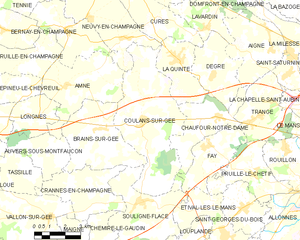
Brains-sur-Gée (Brains-sur-Gée)

- commune in Sarthe, France
- Country:

- Postal Code: 72550
- Coordinates: 48° 0' 58" N, 0° 1' 34" E


- GPS tracks (wikiloc): [Link]
- Area: 15.9 sq km
- Population: 805
- Wikipedia en: wiki(en)
- Wikipedia: wiki(fr)
- Wikidata storage: Wikidata: Q637608
- Wikipedia Commons Category: [Link]
- Freebase ID: [/m/03qj0ql]
- GeoNames ID: Alt: [6450926]
- SIREN number: [217200450]
- BnF ID: [152736032]
- archINFORM location ID: [42150]
- INSEE municipality code: 72045
Shares border with regions:


Amné
- commune in Sarthe, France
- Country:
- Postal Code: 72540
- Coordinates: 48° 2' 24" N, 0° 3' 33" E
- GPS tracks (wikiloc): [Link]
- Area: 15.95 sq km
- Population: 552
- Web site: [Link]


Souligné-Flacé
- commune in Sarthe, France
- Country:
- Postal Code: 72210
- Coordinates: 47° 58' 27" N, 0° 0' 54" E
- GPS tracks (wikiloc): [Link]
- Area: 16.49 sq km
- Population: 692

Coulans-sur-Gée
- commune in Sarthe, France
- Country:
- Postal Code: 72550
- Coordinates: 48° 1' 18" N, 0° 0' 35" E
- GPS tracks (wikiloc): [Link]
- Area: 27.48 sq km
- Population: 1660
- Web site: [Link]


Auvers-sous-Montfaucon
- commune in Sarthe, France
- Country:
- Postal Code: 72540
- Coordinates: 48° 0' 22" N, 0° 4' 14" E
- GPS tracks (wikiloc): [Link]
- Area: 7.49 sq km
- Population: 247
- Web site: [Link]


Crannes-en-Champagne
- commune in Sarthe, France
- Country:
- Postal Code: 72540
- Coordinates: 47° 58' 51" N, 0° 3' 7" E
- GPS tracks (wikiloc): [Link]
- Area: 11.97 sq km
- Population: 352