Crannes-en-Champagne (Crannes-en-Champagne)
- commune in Sarthe, France
- Country:

- Postal Code: 72540
- Coordinates: 47° 58' 51" N, 0° 3' 7" E


- GPS tracks (wikiloc): [Link]
- Area: 11.97 sq km
- Population: 352
- Wikipedia en: wiki(en)
- Wikipedia: wiki(fr)
- Wikidata storage: Wikidata: Q733793
- Wikipedia Commons Category: [Link]
- Freebase ID: [/m/03qj2qx]
- GeoNames ID: Alt: [6442553]
- SIREN number: [217201078]
- BnF ID: [15273663x]
- VIAF ID: Alt: [255680520]
- INSEE municipality code: 72107
Shares border with regions:


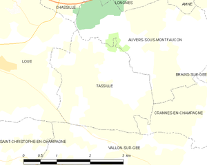
Tassillé
- commune in Sarthe, France
- Country:

- Postal Code: 72540
- Coordinates: 47° 59' 34" N, 0° 5' 36" E


- GPS tracks (wikiloc): [Link]
- Area: 6.46 sq km
- Population: 143
- Web site: [Link]


Souligné-Flacé
- commune in Sarthe, France
- Country:

- Postal Code: 72210
- Coordinates: 47° 58' 27" N, 0° 0' 54" E


- GPS tracks (wikiloc): [Link]
- Area: 16.49 sq km
- Population: 692


Chemiré-le-Gaudin
- commune in Sarthe, France
- Country:

- Postal Code: 72210
- Coordinates: 47° 55' 42" N, 0° 0' 54" E


- GPS tracks (wikiloc): [Link]
- Area: 22.79 sq km
- Population: 958


Vallon-sur-Gée
- commune in Sarthe, France
- Country:

- Postal Code: 72540
- Coordinates: 47° 57' 46" N, 0° 4' 6" E


- GPS tracks (wikiloc): [Link]
- Area: 17.15 sq km
- Population: 799
- Web site: [Link]


Brains-sur-Gée
- commune in Sarthe, France
- Country:

- Postal Code: 72550
- Coordinates: 48° 0' 58" N, 0° 1' 34" E


- GPS tracks (wikiloc): [Link]
- Area: 15.9 sq km
- Population: 805


Auvers-sous-Montfaucon
- commune in Sarthe, France
- Country:

- Postal Code: 72540
- Coordinates: 48° 0' 22" N, 0° 4' 14" E


- GPS tracks (wikiloc): [Link]
- Area: 7.49 sq km
- Population: 247
- Web site: [Link]


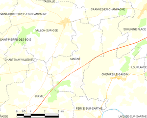
Maigné
- commune in Sarthe, France
- Country:

- Postal Code: 72210
- Coordinates: 47° 56' 16" N, 0° 3' 17" E


- GPS tracks (wikiloc): [Link]
- Area: 11.5 sq km
- Population: 345
