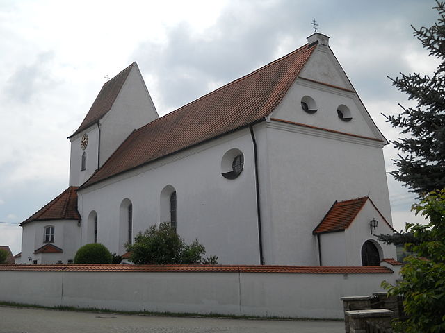
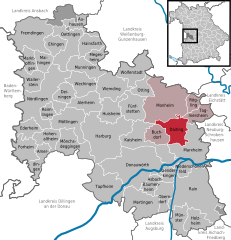
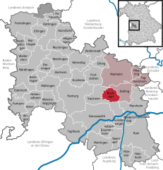
Buchdorf (Buchdorf)
- municipality of Germany
Buchdorf is a small village in Bavaria, Germany, and while it may not be widely recognized as a hiking destination, it offers access to some beautiful landscapes and trails in the surrounding areas. Here are some things to consider if you're planning a hiking trip in and around Buchdorf:
Local Trails
-
Scenic Walks: The area around Buchdorf is characterized by picturesque rural landscapes, including fields, forests, and small creeks. You can find several scenic walking paths suitable for casual hikers and families.
-
Bavarian Trails: Considering its location in Bavaria, you might explore regional trails that lead to nearby hills or natural attractions. Check local maps for paths that provide stunning views of the countryside.
-
Nature Reserves: Look for nearby nature reserves or parks, which can have marked trails for hiking. These areas often feature diverse flora and fauna, making for an appealing hiking experience.
Preparation Tips
- Check Weather Conditions: Bavaria can have varied weather, so be sure to check forecasts.
- Wear Appropriate Gear: Comfortable hiking shoes, weather-appropriate clothing, and a good backpack will enhance your experience.
- Navigation: Use a map or GPS app to find the best trails and ensure you get back safely.
Nearby Hiking Areas
If you’re willing to travel a bit further, consider exploring more established hiking areas nearby:
- Altmühltal Nature Park: A bit further away, this park offers more extensive trails with beautiful scenery, including limestone cliffs and river valleys.
- Fränkische Schweiz (Franconian Switzerland): Known for its unique rock formations, caves, and charming towns, this area offers numerous hiking opportunities.
Conclusion
While Buchdorf may not be a hiking hotspot, it can serve as a tranquil starting point for exploring the natural beauty of Bavaria. Always research local resources or visitor centers for updated trail information and recommendations. Enjoy your hike!
- Country:

- Postal Code: 86675
- Local Dialing Code: 09099
- Licence Plate Code: DON
- Coordinates: 48° 46' 0" N, 10° 49' 0" E


- GPS tracks (wikiloc): [Link]
- AboveSeaLevel: 552 м m
- Area: 16.80 sq km
- Population: 1303
- Web site: http://www.gemeinde-buchdorf.de/
- Wikipedia en: wiki(en)
- Wikipedia: wiki(de)
- Wikidata storage: Wikidata: Q503061
- Wikipedia Commons Category: [Link]
- Freebase ID: [/m/02q10pg]
- GeoNames ID: Alt: [6557273]
- VIAF ID: Alt: [243887492]
- OSM relation ID: [962385]
- GND ID: Alt: [4814455-1]
- Historical Gazetteer (GOV) ID: [BUCORFJN58JS]
- Bavarikon ID: [ODB_A00000827]
- German municipality key: 09779126
Shares border with regions:


Daiting
- municipality of Germany
Daiting, located in the Swabian region of Bavaria, Germany, offers a variety of hiking opportunities for outdoor enthusiasts. The area is known for its beautiful landscapes, predominantly featuring rolling hills, dense forests, and picturesque trails that often wind through charming villages. Here are some key points to consider if you're planning a hiking trip in Daiting:...
- Country:

- Postal Code: 86653
- Local Dialing Code: 09091
- Licence Plate Code: DON
- Coordinates: 48° 48' 0" N, 10° 54' 0" E


- GPS tracks (wikiloc): [Link]
- AboveSeaLevel: 468 м m
- Area: 25.44 sq km
- Population: 707
- Web site: [Link]


Monheim
- municipality in Bavaria, Germany
Monheim, located in Bavaria, Germany, is a charming small town that offers various outdoor activities, including hiking. The region surrounding Monheim is characterized by beautiful landscapes, rolling hills, and lush forests, making it a great destination for nature enthusiasts....
- Country:

- Postal Code: 86653
- Local Dialing Code: 09091
- Licence Plate Code: DON
- Coordinates: 48° 50' 0" N, 10° 50' 0" E


- GPS tracks (wikiloc): [Link]
- AboveSeaLevel: 495 м m
- Area: 69.35 sq km
- Population: 4123
- Web site: [Link]

