Monheim (Monheim)
- municipality in Bavaria, Germany
Monheim, located in Bavaria, Germany, is a charming small town that offers various outdoor activities, including hiking. The region surrounding Monheim is characterized by beautiful landscapes, rolling hills, and lush forests, making it a great destination for nature enthusiasts.
Hiking Trails
-
Local Trails: There are several well-marked hiking trails in and around Monheim that cater to different skill levels. You can find routes that are easy and suitable for families, as well as more challenging paths for experienced hikers.
-
Nature Reserves: The nearby nature reserves provide excellent opportunities for hiking while offering stunning views of the natural surroundings. Take advantage of the well-maintained trails that often include breathtaking vistas.
-
River Trails: Monheim is close to the Danube River, and hiking along the riverbanks can be a peaceful experience. The scenic trails offer opportunities to spot local wildlife and enjoy the serene environment.
Best Times to Hike
The best time for hiking in Monheim is during the spring and autumn months when the weather is mild, and the landscapes are particularly beautiful. Summer can also be enjoyable, but be prepared for warm temperatures, and winter hiking can be an option if you enjoy snow-covered trails.
Tips for Hiking in Monheim
- Maps and Guides: It's a good idea to have a local hiking map or guidebook to help navigate the trails.
- Gear: Wear appropriate hiking gear, including sturdy footwear and moisture-wicking clothing. Consider carrying a daypack with essentials like water, snacks, and a first-aid kit.
- Weather Awareness: Check the weather forecast before heading out, as conditions can change quickly.
- Respect Nature: Stick to marked paths, and carry out any rubbish to help preserve the natural beauty of the area.
Local Amenities
Monheim has several facilities where you can rest and recharge after your hike, including local cafes and restaurants. Enjoying a meal or a snack featuring Bavarian cuisine can be a great way to end your hiking day.
Whether you're looking for a casual walk in nature or a more rigorous hike, Monheim and its surroundings offer a variety of options for all hiking enthusiasts. Enjoy your time outdoors!
- Country:

- Postal Code: 86653
- Local Dialing Code: 09091
- Licence Plate Code: DON
- Coordinates: 48° 50' 0" N, 10° 50' 0" E


- GPS tracks (wikiloc): [Link]
- AboveSeaLevel: 495 м m
- Area: 69.35 sq km
- Population: 4123
- Web site: http://www.monheim-bayern.de
- Wikipedia en: wiki(en)
- Wikipedia: wiki(de)
- Wikidata storage: Wikidata: Q504521
- Wikipedia Commons Category: [Link]
- Freebase ID: [/m/0ffvwl]
- GeoNames ID: Alt: [2869792]
- VIAF ID: Alt: [248962012]
- OSM relation ID: [962649]
- GND ID: Alt: [4040064-5]
- Bavarikon ID: [ODB_A00000850]
- German municipality key: 09779186
Shares border with regions:


Treuchtlingen
- town in Germany
Treuchtlingen is a lovely town located in the Franconia region of Bavaria, Germany, and offers a variety of opportunities for hiking enthusiasts. Nestled in the picturesque terrain of the Jura Mountains, the area is characterized by its scenic landscapes, rich flora and fauna, and numerous marked hiking trails....
- Country:

- Postal Code: 91757
- Local Dialing Code: 09142
- Coordinates: 48° 57' 19" N, 10° 54' 34" E


- GPS tracks (wikiloc): [Link]
- AboveSeaLevel: 412 м m
- Area: 103 sq km
- Population: 12781
- Web site: [Link]


Otting
- municipality of Germany
Otting, a small town in Bavaria, Germany, is surrounded by beautiful landscapes that offer various hiking opportunities. Here are some highlights for hiking in and around Otting:...
- Country:

- Postal Code: 86700
- Local Dialing Code: 09092
- Licence Plate Code: DON
- Coordinates: 48° 53' 0" N, 10° 48' 0" E


- GPS tracks (wikiloc): [Link]
- AboveSeaLevel: 492 м m
- Area: 13.40 sq km
- Population: 678
- Web site: [Link]

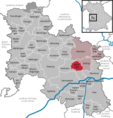
Buchdorf
- municipality of Germany
Buchdorf is a small village in Bavaria, Germany, and while it may not be widely recognized as a hiking destination, it offers access to some beautiful landscapes and trails in the surrounding areas. Here are some things to consider if you're planning a hiking trip in and around Buchdorf:...
- Country:

- Postal Code: 86675
- Local Dialing Code: 09099
- Licence Plate Code: DON
- Coordinates: 48° 46' 0" N, 10° 49' 0" E


- GPS tracks (wikiloc): [Link]
- AboveSeaLevel: 552 м m
- Area: 16.80 sq km
- Population: 1303
- Web site: [Link]
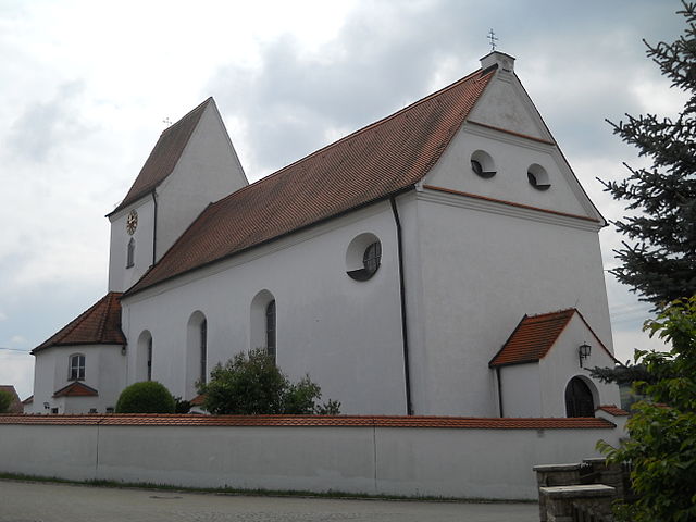
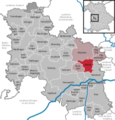
Daiting
- municipality of Germany
Daiting, located in the Swabian region of Bavaria, Germany, offers a variety of hiking opportunities for outdoor enthusiasts. The area is known for its beautiful landscapes, predominantly featuring rolling hills, dense forests, and picturesque trails that often wind through charming villages. Here are some key points to consider if you're planning a hiking trip in Daiting:...
- Country:

- Postal Code: 86653
- Local Dialing Code: 09091
- Licence Plate Code: DON
- Coordinates: 48° 48' 0" N, 10° 54' 0" E


- GPS tracks (wikiloc): [Link]
- AboveSeaLevel: 468 м m
- Area: 25.44 sq km
- Population: 707
- Web site: [Link]
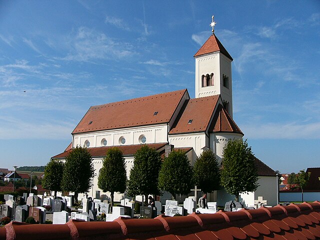

Tagmersheim
- municipality of Germany
Tagmersheim is a lovely village located in Bavaria, Germany, that offers a range of hiking opportunities for outdoor enthusiasts. Nestled in a picturesque landscape, it provides access to scenic trails that showcase the region’s natural beauty....
- Country:

- Postal Code: 86704
- Local Dialing Code: 09094
- Licence Plate Code: DON
- Coordinates: 48° 49' 0" N, 10° 58' 0" E


- GPS tracks (wikiloc): [Link]
- AboveSeaLevel: 500 м m
- Area: 15.94 sq km
- Population: 1025
- Web site: [Link]

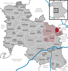
Rögling
- municipality of Germany
Rögling is not widely recognized as a hiking destination, so it's possible you may be referring to a lesser-known area or a specific locality. If you meant Röglingen in Germany or another location, I'd be happy to provide general advice and insights about hiking in typical regions characterized by similar landscapes....
- Country:

- Postal Code: 86703
- Local Dialing Code: 09094
- Licence Plate Code: DON
- Coordinates: 48° 51' 0" N, 10° 57' 0" E


- GPS tracks (wikiloc): [Link]
- AboveSeaLevel: 530 м m
- Area: 10.74 sq km
- Population: 676
- Web site: [Link]

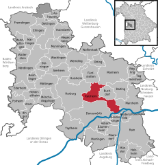
Kaisheim
- municipality of Germany
Kaisheim is a small town located in Bavaria, Germany, and while it is not widely known as a hiking destination, there are several opportunities for outdoor activities in the surrounding area. Here are some aspects to consider if you're planning a hiking trip around Kaisheim:...
- Country:

- Postal Code: 86687
- Local Dialing Code: 09099
- Licence Plate Code: DON
- Coordinates: 48° 46' 6" N, 10° 47' 47" E


- GPS tracks (wikiloc): [Link]
- AboveSeaLevel: 470 м m
- Area: 41.56 sq km
- Population: 3378
- Web site: [Link]


Mörnsheim
- municipality of Germany
Mörnsheim is a small town located in thebeautiful Altmühltal region of Bavaria, Germany, known for its stunning landscapes, rich history, and excellent hiking opportunities. The area is characterized by limestone hills, deep valleys, and the picturesque Altmühl River, making it a perfect destination for outdoor enthusiasts....
- Country:

- Postal Code: 91804
- Local Dialing Code: 09145
- Licence Plate Code: EI
- Coordinates: 48° 52' 59" N, 11° 0' 0" E


- GPS tracks (wikiloc): [Link]
- AboveSeaLevel: 408 м m
- Area: 33.48 sq km
- Population: 1862
- Web site: [Link]


Fünfstetten
- municipality of Germany
Fünfstetten is a small village located in Bavaria, Germany. While it might not be one of the most famous hiking destinations, the surrounding areas offer a delightful experience for hikers, particularly those who enjoy scenic walks through the Bavarian countryside....
- Country:

- Postal Code: 86681
- Local Dialing Code: 09091
- Licence Plate Code: DON
- Coordinates: 48° 49' 0" N, 10° 46' 0" E


- GPS tracks (wikiloc): [Link]
- AboveSeaLevel: 480 м m
- Area: 26.72 sq km
- Population: 1335
- Web site: [Link]

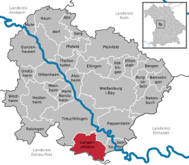
Langenaltheim
- municipality in Germany
Langenaltheim is a small village located in Bavaria, Germany, and is surrounded by beautiful natural landscapes, making it a great spot for hiking enthusiasts. The region features rolling hills, forests, and picturesque views of the surrounding countryside....
- Country:

- Postal Code: 91788; 91799
- Local Dialing Code: 09145
- Licence Plate Code: WUG
- Coordinates: 48° 54' 0" N, 10° 56' 0" E


- GPS tracks (wikiloc): [Link]
- AboveSeaLevel: 555 м m
- Area: 39.05 sq km
- Population: 2258
- Web site: [Link]

