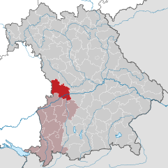
Donau-Ries (Landkreis Donau-Ries)
- district in Bavaria, Germany
Donau-Ries is a beautiful region in Bavaria, Germany, known for its stunning landscapes, rich history, and cultural significance. Spanning both the Danube River and the Ries crater, this area offers diverse hiking opportunities for both beginners and more experienced trekkers.
Hiking in Donau-Ries:
1.
- Ries Crater Trail: This trail allows hikers to explore the remnants of the meteor impact that created the Ries crater. The landscape features unique geological formations and offers vistas of the surrounding countryside.
- Danube River Trail: Follow the scenic Danube River that runs through the region. This path provides stunning views of the river, charming villages, and lush landscapes.
- Circular Routes: Numerous marked circular trails cater to different fitness levels, providing a chance to explore both rural and natural settings.
2.
- Nature Reserves: The region is home to several nature reserves, where hikers can observe diverse flora and fauna. Areas like the Donau-Auen Nature Reserve are ideal for wildlife enthusiasts.
- Forests and Meadows: Expect to hike through dense forests, rolling hills, and open meadows, each offering unique views and experiences.
3.
- The area is steeped in history, with numerous castles, churches, and historical towns along the hiking routes. Make sure to explore towns like Nördlingen, famous for its well-preserved medieval structures, and enjoy local Bavarian cuisine at nearby inns or restaurants.
4.
- Best Time to Hike: The optimal hiking seasons are late spring through early autumn (May to October), when the weather is generally mild, and the landscapes are in full bloom.
- Trail Markings: Trails are well-marked, but it’s always a good idea to carry a local map or a GPS device.
5.
- Preparation: Wear sturdy hiking boots and bring plenty of water and snacks. A first aid kit and basic navigation tools are also advisable.
- Local Regulations: Be mindful of local rules regarding wildlife protection and trail use.
Conclusion:
Hiking in Donau-Ries promises a mix of natural beauty, engaging outdoor activity, and cultural exploration. Whether you’re looking for a leisurely walk or a challenging day hike, this region provides an unforgettable experience in Bavaria’s stunning landscapes.
- Country:

- Capital: Donauwörth
- Licence Plate Code: NÖ; DON
- Coordinates: 48° 49' 48" N, 10° 40' 12" E


- GPS tracks (wikiloc): [Link]
- AboveSeaLevel: 508 м m
- Area: 1275.00 sq km
- Population: 117483
- Web site: http://www.donau-ries.de/
- Wikipedia en: wiki(en)
- Wikipedia: wiki(de)
- Wikidata storage: Wikidata: Q10418
- Wikipedia Commons Category: [Link]
- Freebase ID: [/m/01lhxj]
- GeoNames ID: Alt: [2936260]
- VIAF ID: Alt: [158261485]
- OSM relation ID: [62389]
- GND ID: Alt: [4091135-4]
- archINFORM location ID: [2384]
- Library of Congress authority ID: Alt: [n79028175]
- TGN ID: [7196916]
- Bavarikon ID: [ODB_A00000822]
- NUTS code: [DE27D]
- BabelNet ID: [01876382n]
- German district key: 09779
Includes regions:

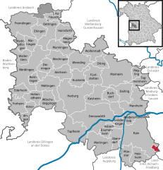
Esterholz
- unincorporated area in Germany
Esterholz is a relatively lesser-known area, and as it appears to be situated in a gemeindefreies Gebiet (a municipality-free area), its hiking opportunities may offer a blend of natural beauty and tranquility. While specific trails may not be heavily documented, you can expect a variety of scenic landscapes typical of rural regions in Germany....
- Country:

- Coordinates: 48° 38' 51" N, 11° 0' 41" E


- GPS tracks (wikiloc): [Link]
Dornstadt-Linkersbaindt
- unincorporated area in Germany
 Hiking in Dornstadt-Linkersbaindt
Dornstadt-Linkersbaindt is a picturesque area located in southern Germany, known for its beautiful landscapes and outdoor recreational opportunities, including hiking. While specific trails around Dornstadt-Linkersbaindt may not be widely documented, the region is part of the Swabian Jura, which offers a variety of hiking paths suitable for different skill levels....
- Country:

- Coordinates: 49° 1' 0" N, 10° 34' 0" E


- GPS tracks (wikiloc): [Link]
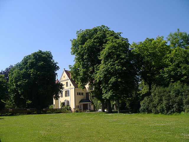

Münster
- municipality of Germany
Hiking in Münster, located in the Bavarian district of Schweinfurt, offers a delightful experience with a mixture of cultural and natural attractions. Here’s what you can expect when you go hiking in this area:...
- Country:

- Postal Code: 86692
- Local Dialing Code: 08276
- Licence Plate Code: DON
- Coordinates: 48° 38' 0" N, 10° 54' 0" E


- GPS tracks (wikiloc): [Link]
- AboveSeaLevel: 413 м m
- Area: 16.20 sq km
- Population: 856
- Web site: [Link]

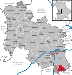
Holzheim
- town in Donau-Ries District, Bavaria, Germany
Holzheim, located in the Donau-Ries district of Bavaria, Germany, offers a variety of scenic hiking opportunities. The area is characterized by its beautiful landscapes, including rolling hills, dense forests, and picturesque rivers. Here are some key points to consider when hiking in Holzheim:...
- Country:

- Postal Code: 86684
- Local Dialing Code: 08276
- Licence Plate Code: DON
- Coordinates: 48° 37' 0" N, 10° 58' 0" E


- GPS tracks (wikiloc): [Link]
- AboveSeaLevel: 431 м m
- Area: 20.29 sq km
- Population: 1006
- Web site: [Link]


Möttingen
- municipality of Germany
Möttingen is a charming village located in Bavaria, Germany, and while it may not be as widely known for hiking as some of the larger regions in the Bavarian Alps, there are still plenty of opportunities for outdoor enthusiasts....
- Country:

- Postal Code: 86753
- Local Dialing Code: 09083
- Licence Plate Code: DON
- Coordinates: 48° 49' 0" N, 10° 35' 0" E


- GPS tracks (wikiloc): [Link]
- AboveSeaLevel: 415 м m
- Area: 31.83 sq km
- Population: 2249
- Web site: [Link]
Megesheim
- municipality of Germany
Megesheim, located in Bavaria, Germany, is a charming village surrounded by beautiful natural landscapes, making it an ideal destination for hiking enthusiasts. The area offers a variety of trails that showcase the region's rolling hills, lush fields, and picturesque views....
- Country:

- Postal Code: 86750
- Local Dialing Code: 09082
- Licence Plate Code: DON
- Coordinates: 48° 56' 0" N, 10° 39' 0" E


- GPS tracks (wikiloc): [Link]
- AboveSeaLevel: 422 м m
- Area: 12.53 sq km
- Population: 753
- Web site: [Link]


Amerdingen
- municipality of Germany
Amerdingen is a small village located in the Swabian district of Donau-Ries in Bavaria, Germany. The region is characterized by beautiful landscapes, picturesque countryside, and a variety of hiking trails suitable for different experience levels....
- Country:

- Postal Code: 86735
- Local Dialing Code: 09089
- Licence Plate Code: DON
- Coordinates: 48° 44' 0" N, 10° 29' 0" E


- GPS tracks (wikiloc): [Link]
- AboveSeaLevel: 532 м m
- Area: 19.10 sq km
- Population: 789
- Web site: [Link]


Nördlingen
- town in Bavaria, Germany
Nördlingen, located in southern Germany in the state of Bavaria, is a charming town known for its well-preserved medieval architecture and unique geological feature—the Ries crater. Hiking in and around Nördlingen can offer a rich experience of both scenic natural landscapes and cultural history. Here are some highlights and tips for hiking in the area:...
- Country:

- Postal Code: 86720
- Local Dialing Code: 09081
- Licence Plate Code: DON (до 1972: NÖ)
- Coordinates: 48° 51' 0" N, 10° 30' 0" E


- GPS tracks (wikiloc): [Link]
- AboveSeaLevel: 441 м m
- Area: 68.1 sq km
- Population: 18275
- Web site: [Link]


Marxheim
- municipality in Landkreis Donau-Ries in Bavaria, Germany
Marxheim, a charming village located in the state of Bavaria in Germany, offers a variety of hiking opportunities for outdoor enthusiasts. The scenic landscape surrounding the area is characterized by rolling hills, meadows, and forests, making it an appealing destination for both casual walkers and more serious hikers....
- Country:

- Postal Code: 86688
- Local Dialing Code: 09097
- Licence Plate Code: DON
- Coordinates: 48° 45' 0" N, 10° 57' 0" E


- GPS tracks (wikiloc): [Link]
- AboveSeaLevel: 405 м m
- Area: 46.46 sq km
- Population: 2536
- Web site: [Link]


Wemding
- municipality of Germany
Wemding is a charming town located in Bavaria, Germany, known for its picturesque landscapes and rich history. It's a great destination for hiking enthusiasts, offering a variety of trails that cater to different skill levels. Here are some highlights for hiking in and around Wemding:...
- Country:

- Postal Code: 86650
- Local Dialing Code: 09092
- Licence Plate Code: DON
- Coordinates: 48° 52' 0" N, 10° 43' 0" E


- GPS tracks (wikiloc): [Link]
- AboveSeaLevel: 463 м m
- Area: 31.6 sq km
- Population: 5801
- Web site: [Link]


Auhausen
- municipality of Germany
Auhausen, located in Germany, offers a picturesque setting for hiking enthusiasts. Nestled in the beautiful landscape of the Bavarian region, this area is characterized by rolling hills, lush forests, and scenic trails that cater to various skill levels....
- Country:

- Postal Code: 86736
- Local Dialing Code: 09832
- Licence Plate Code: DON
- Coordinates: 49° 1' 0" N, 10° 38' 0" E


- GPS tracks (wikiloc): [Link]
- AboveSeaLevel: 422 м m
- Area: 15.55 sq km
- Population: 992
- Web site: [Link]


Otting
- municipality of Germany
Otting, a small town in Bavaria, Germany, is surrounded by beautiful landscapes that offer various hiking opportunities. Here are some highlights for hiking in and around Otting:...
- Country:

- Postal Code: 86700
- Local Dialing Code: 09092
- Licence Plate Code: DON
- Coordinates: 48° 53' 0" N, 10° 48' 0" E


- GPS tracks (wikiloc): [Link]
- AboveSeaLevel: 492 м m
- Area: 13.40 sq km
- Population: 678
- Web site: [Link]

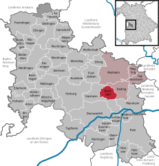
Buchdorf
- municipality of Germany
Buchdorf is a small village in Bavaria, Germany, and while it may not be widely recognized as a hiking destination, it offers access to some beautiful landscapes and trails in the surrounding areas. Here are some things to consider if you're planning a hiking trip in and around Buchdorf:...
- Country:

- Postal Code: 86675
- Local Dialing Code: 09099
- Licence Plate Code: DON
- Coordinates: 48° 46' 0" N, 10° 49' 0" E


- GPS tracks (wikiloc): [Link]
- AboveSeaLevel: 552 м m
- Area: 16.80 sq km
- Population: 1303
- Web site: [Link]

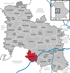
Tapfheim
- municipality of Germany
Tapfheim is a small municipality located in Bavaria, Germany, near the Danube River. While it may not be as widely recognized as some of the larger hiking destinations, it offers opportunities for those looking to enjoy the beauty of the Bavarian countryside....
- Country:

- Postal Code: 86660
- Local Dialing Code: 09070
- Licence Plate Code: DON
- Coordinates: 48° 40' 24" N, 10° 41' 2" E


- GPS tracks (wikiloc): [Link]
- AboveSeaLevel: 415 м m
- Area: 44.46 sq km
- Population: 3463
- Web site: [Link]

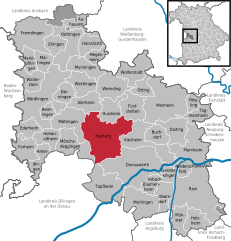
Harburg
- German city in Bavaria
Hiking in Harburg, Bavaria, offers a unique blend of natural beauty, rich history, and picturesque landscapes. Here are some highlights and tips for hiking in this charming area:...
- Country:

- Postal Code: 86655
- Local Dialing Code: 09080
- Licence Plate Code: DON
- Coordinates: 48° 46' 0" N, 10° 40' 0" E


- GPS tracks (wikiloc): [Link]
- AboveSeaLevel: 413 м m
- Area: 73.16 sq km
- Population: 5711
- Web site: [Link]


Huisheim
- municipality in Bavaria, Germany
Huisheim is a small village located in Bavaria, Germany. While it may not be as widely known for hiking as some other regions, it offers access to the beautiful Bavarian landscape, characterized by rolling hills, forests, and scenic rural vistas....
- Country:

- Postal Code: 86685
- Local Dialing Code: 09080
- Licence Plate Code: DON
- Coordinates: 48° 49' 28" N, 10° 42' 17" E


- GPS tracks (wikiloc): [Link]
- AboveSeaLevel: 455 м m
- Area: 22.77 sq km
- Population: 1448
- Web site: [Link]
Wolferstadt
- municipality of Germany
Wolferstadt is a quaint village located in Germany, and while it might not be widely known for extensive hiking trails like some larger national parks, the surrounding areas offer beautiful landscapes that are great for outdoor activities. Here are a few key points about hiking in and around Wolferstadt:...
- Country:

- Postal Code: 86709
- Local Dialing Code: 09092
- Licence Plate Code: DON
- Coordinates: 48° 55' 0" N, 10° 47' 0" E


- GPS tracks (wikiloc): [Link]
- AboveSeaLevel: 495 м m
- Area: 30.67 sq km
- Population: 995
- Web site: [Link]
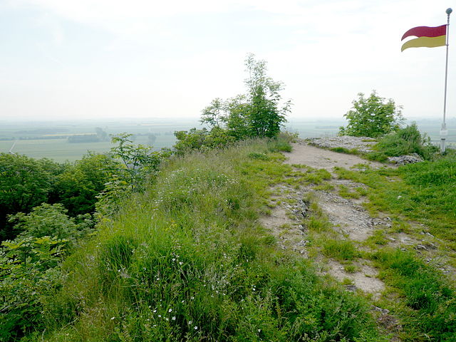

Wallerstein
- municipality of Germany
Wallerstein, located in Bavaria, Germany, is surrounded by beautiful landscapes that offer fantastic hiking opportunities. The area features rolling hills, wooded areas, and meadows, making it an ideal spot for outdoor activities. Here are some key aspects of hiking in and around Wallerstein:...
- Country:

- Postal Code: 86757
- Local Dialing Code: 09081
- Licence Plate Code: DON
- Coordinates: 48° 53' 0" N, 10° 28' 0" E


- GPS tracks (wikiloc): [Link]
- AboveSeaLevel: 441 м m
- Area: 1945 sq km
- Population: 2943
- Web site: [Link]
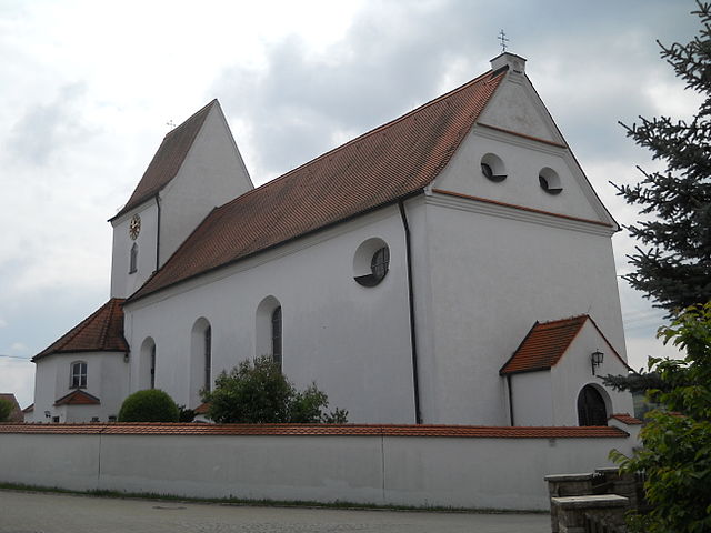
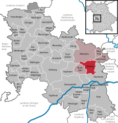
Daiting
- municipality of Germany
Daiting, located in the Swabian region of Bavaria, Germany, offers a variety of hiking opportunities for outdoor enthusiasts. The area is known for its beautiful landscapes, predominantly featuring rolling hills, dense forests, and picturesque trails that often wind through charming villages. Here are some key points to consider if you're planning a hiking trip in Daiting:...
- Country:

- Postal Code: 86653
- Local Dialing Code: 09091
- Licence Plate Code: DON
- Coordinates: 48° 48' 0" N, 10° 54' 0" E


- GPS tracks (wikiloc): [Link]
- AboveSeaLevel: 468 м m
- Area: 25.44 sq km
- Population: 707
- Web site: [Link]
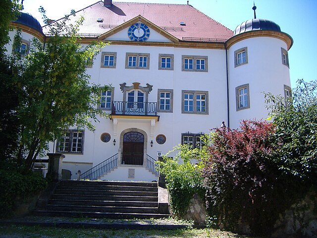
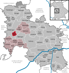
Reimlingen
- municipality of Germany
Reimlingen, a small village located in Bavaria, Germany, is surrounded by beautiful natural landscapes that provide excellent opportunities for hiking enthusiasts. The region is characterized by rolling hills, forests, and picturesque countryside, making it a great destination for both beginners and experienced hikers. Here are some key points about hiking in and around Reimlingen:...
- Country:

- Postal Code: 86756
- Local Dialing Code: 09081
- Licence Plate Code: DON
- Coordinates: 48° 49' 0" N, 10° 31' 0" E


- GPS tracks (wikiloc): [Link]
- AboveSeaLevel: 438 м m
- Area: 954 sq km
- Population: 1069
- Web site: [Link]


Marktoffingen
- municipality of Germany
Marktoffingen is a small village located in Bavaria, Germany, and is surrounded by beautiful natural landscapes that are ideal for hiking enthusiasts. The region offers a combination of rolling hills, dense forests, and picturesque farmland, providing a variety of trails suitable for hikers of different skill levels....
- Country:

- Postal Code: 86748
- Local Dialing Code: 09087
- Licence Plate Code: DON
- Coordinates: 48° 56' 0" N, 10° 29' 0" E


- GPS tracks (wikiloc): [Link]
- AboveSeaLevel: 464 м m
- Area: 13.6 sq km
- Population: 1310
- Web site: [Link]
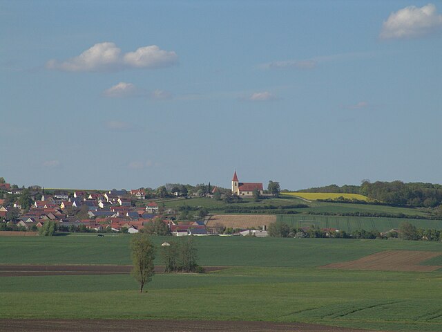

Ehingen am Ries
- municipality in the Donau-Ries district, Swabia, Bavaria, Germany
Ehingen am Ries is a charming town in the Swabian region of Germany, surrounded by scenic landscapes that offer various hiking opportunities. Located in Bavaria, this area features a mix of rolling hills, dense forests, and picturesque countryside, making it ideal for both casual and more experienced hikers....
- Country:

- Postal Code: 86741
- Local Dialing Code: 09082
- Licence Plate Code: DON
- Coordinates: 48° 58' 0" N, 10° 33' 0" E


- GPS tracks (wikiloc): [Link]
- AboveSeaLevel: 466 м m
- Area: 15.64 sq km
- Population: 834
- Web site: [Link]


Hohenaltheim
- municipality of Germany
Hohenaltheim is a small municipal area located in Bavaria, Germany. While it may not be as well-known as some larger hiking destinations, it offers a peaceful rural setting that can be appealing for those looking to escape into nature....
- Country:

- Postal Code: 86745
- Local Dialing Code: 09088
- Licence Plate Code: DON
- Coordinates: 48° 47' 0" N, 10° 32' 0" E


- GPS tracks (wikiloc): [Link]
- AboveSeaLevel: 454 м m
- Area: 17.78 sq km
- Population: 575
- Web site: [Link]


Rain
- municipality in Bavaria, Germany
Hiking in Rain, a charming town in Swabia, Germany, offers a mix of scenic landscapes, cultural experiences, and well-marked trails. The region is characterized by its picturesque countryside, rolling hills, and opportunities to explore both nature and historical sites....
- Country:

- Postal Code: 86641
- Local Dialing Code: 09090
- Licence Plate Code: DON
- Coordinates: 48° 41' 0" N, 10° 55' 0" E


- GPS tracks (wikiloc): [Link]
- AboveSeaLevel: 402 м m
- Area: 77.13 sq km
- Population: 6794
- Web site: [Link]
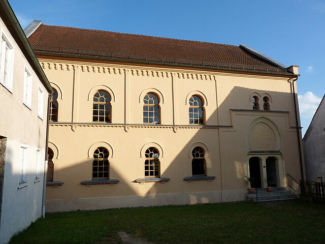

Hainsfarth
- municipality of Germany
Hainsfarth, located in Bavaria, Germany, offers a charming setting for hiking enthusiasts. The region features picturesque landscapes, lush forests, and rolling hills that make for a great hiking experience. Here are some highlights and tips for hiking in Hainsfarth:...
- Country:

- Postal Code: 86744
- Local Dialing Code: 09082
- Licence Plate Code: DON
- Coordinates: 48° 58' 0" N, 10° 37' 0" E


- GPS tracks (wikiloc): [Link]
- AboveSeaLevel: 445 м m
- Area: 17.54 sq km
- Population: 1443
- Web site: [Link]


Oberndorf am Lech
- municipality of Germany
Oberndorf am Lech is a charming village located in Bavaria, Germany, near the borders of Austria. The area is blessed with stunning natural beauty, making it a great destination for hiking enthusiasts. Here are some highlights of hiking in Oberndorf am Lech:...
- Country:

- Postal Code: 86698
- Local Dialing Code: 09090
- Licence Plate Code: DON
- Coordinates: 48° 40' 0" N, 10° 52' 0" E


- GPS tracks (wikiloc): [Link]
- AboveSeaLevel: 407 м m
- Area: 19.36 sq km
- Population: 1907
- Web site: [Link]


Mönchsdeggingen
- municipality of Germany
Mönchsdeggingen is a small village located in Bavaria, Germany, and it offers a variety of hiking opportunities amidst beautiful natural landscapes. While the region isn't as widely known as some larger hiking destinations in Germany, it provides charming trails and scenic views, particularly suitable for those looking for a peaceful outdoor experience....
- Country:

- Postal Code: 86751
- Local Dialing Code: 09088
- Licence Plate Code: DON
- Coordinates: 48° 46' 34" N, 10° 34' 50" E


- GPS tracks (wikiloc): [Link]
- AboveSeaLevel: 435 м m
- Area: 32.08 sq km
- Population: 1563
- Web site: [Link]
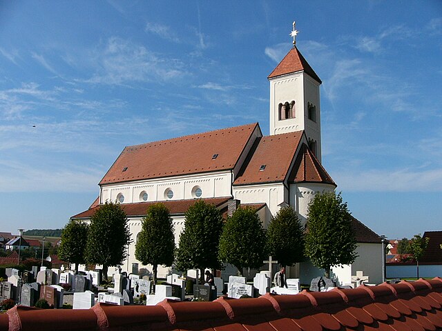

Tagmersheim
- municipality of Germany
Tagmersheim is a lovely village located in Bavaria, Germany, that offers a range of hiking opportunities for outdoor enthusiasts. Nestled in a picturesque landscape, it provides access to scenic trails that showcase the region’s natural beauty....
- Country:

- Postal Code: 86704
- Local Dialing Code: 09094
- Licence Plate Code: DON
- Coordinates: 48° 49' 0" N, 10° 58' 0" E


- GPS tracks (wikiloc): [Link]
- AboveSeaLevel: 500 м m
- Area: 15.94 sq km
- Population: 1025
- Web site: [Link]

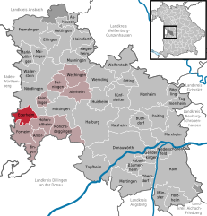
Ederheim
- municipality of Germany
Ederheim is a small municipality located in Bavaria, Germany, not far from the picturesque landscapes of the Swabian Jura. While it may not be as popular as some larger hiking destinations, it offers a variety of scenic trails and beautiful natural surroundings ideal for hiking enthusiasts....
- Country:

- Postal Code: 86739
- Local Dialing Code: 09081
- Licence Plate Code: DON
- Coordinates: 48° 48' 32" N, 10° 27' 56" E


- GPS tracks (wikiloc): [Link]
- AboveSeaLevel: 469 м m
- Area: 16.57 sq km
- Population: 1005
- Web site: [Link]

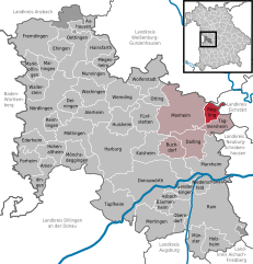
Rögling
- municipality of Germany
Rögling is not widely recognized as a hiking destination, so it's possible you may be referring to a lesser-known area or a specific locality. If you meant Röglingen in Germany or another location, I'd be happy to provide general advice and insights about hiking in typical regions characterized by similar landscapes....
- Country:

- Postal Code: 86703
- Local Dialing Code: 09094
- Licence Plate Code: DON
- Coordinates: 48° 51' 0" N, 10° 57' 0" E


- GPS tracks (wikiloc): [Link]
- AboveSeaLevel: 530 м m
- Area: 10.74 sq km
- Population: 676
- Web site: [Link]


Forheim
- municipality of Germany
It seems there might be a slight misunderstanding; as of my last training cut-off in October 2023, there isn't a widely recognized hiking destination called "Forheim." It's possible that you meant a different location or a lesser-known site....
- Country:

- Postal Code: 86735
- Local Dialing Code: 09089
- Licence Plate Code: DON
- Coordinates: 48° 46' 0" N, 10° 27' 0" E


- GPS tracks (wikiloc): [Link]
- AboveSeaLevel: 574 м m
- Area: 23.26 sq km
- Population: 588
- Web site: [Link]


Fremdingen
- municipality of Germany
Fremdingen, located in Bavaria, Germany, is a beautiful destination for hiking enthusiasts. Nestled in the scenic countryside, it offers a variety of trails suitable for different skill levels, making it an ideal place for both casual walkers and more experienced hikers....
- Country:

- Postal Code: 86742
- Local Dialing Code: 09086
- Licence Plate Code: DON
- Coordinates: 48° 58' 0" N, 10° 28' 0" E


- GPS tracks (wikiloc): [Link]
- AboveSeaLevel: 457 м m
- Area: 50.07 sq km
- Population: 2129
- Web site: [Link]


Niederschönenfeld
- municipality of Germany
Niederschönenfeld, located in Bavaria, Germany, offers a variety of hiking opportunities amidst beautiful natural surroundings. The region is characterized by its scenic landscapes, including forests, rivers, and rolling hills, making it an excellent destination for both casual hikers and more experienced trekkers....
- Country:

- Postal Code: 86694
- Local Dialing Code: 09090
- Licence Plate Code: DON
- Coordinates: 48° 43' 0" N, 10° 55' 0" E


- GPS tracks (wikiloc): [Link]
- AboveSeaLevel: 397 м m
- Area: 14.34 sq km
- Population: 1074
- Web site: [Link]


Maihingen
- municipality of Germany
Maihingen is a small village in the Swabian region of Bavaria, Germany, known for its picturesque landscapes and natural beauty. Hiking in and around Maihingen can provide a refreshing experience for outdoor enthusiasts. Here are some key points about hiking in this area:...
- Country:

- Postal Code: 86747
- Local Dialing Code: 09087
- Licence Plate Code: DON
- Coordinates: 48° 55' 41" N, 10° 29' 53" E


- GPS tracks (wikiloc): [Link]
- AboveSeaLevel: 425 м m
- Area: 14.16 sq km
- Population: 1043
- Web site: [Link]


Monheim
- municipality in Bavaria, Germany
Monheim, located in Bavaria, Germany, is a charming small town that offers various outdoor activities, including hiking. The region surrounding Monheim is characterized by beautiful landscapes, rolling hills, and lush forests, making it a great destination for nature enthusiasts....
- Country:

- Postal Code: 86653
- Local Dialing Code: 09091
- Licence Plate Code: DON
- Coordinates: 48° 50' 0" N, 10° 50' 0" E


- GPS tracks (wikiloc): [Link]
- AboveSeaLevel: 495 м m
- Area: 69.35 sq km
- Population: 4123
- Web site: [Link]

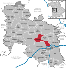
Kaisheim
- municipality of Germany
Kaisheim is a small town located in Bavaria, Germany, and while it is not widely known as a hiking destination, there are several opportunities for outdoor activities in the surrounding area. Here are some aspects to consider if you're planning a hiking trip around Kaisheim:...
- Country:

- Postal Code: 86687
- Local Dialing Code: 09099
- Licence Plate Code: DON
- Coordinates: 48° 46' 6" N, 10° 47' 47" E


- GPS tracks (wikiloc): [Link]
- AboveSeaLevel: 470 м m
- Area: 41.56 sq km
- Population: 3378
- Web site: [Link]


Deiningen
- municipality of Germany
Deiningen, located in Bavaria, Germany, is known for its picturesque landscapes, making it a great spot for hiking enthusiasts. Here are some details to help you plan a hiking trip in and around Deiningen:...
- Country:

- Postal Code: 86738
- Local Dialing Code: 09081
- Licence Plate Code: DON
- Coordinates: 48° 52' 0" N, 10° 34' 0" E


- GPS tracks (wikiloc): [Link]
- AboveSeaLevel: 420 м m
- Area: 15.33 sq km
- Population: 1482
- Web site: [Link]

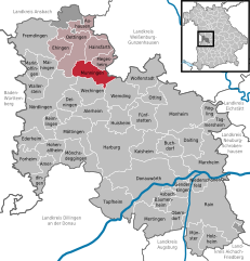
Munningen
- municipality of Germany
Munningen is a small area located in the Bavarian region of Germany, near the Danube River. While it may not be as widely known as some larger hiking destinations, it offers beautiful landscapes and opportunities for outdoor activities, particularly for those who enjoy tranquility away from more crowded trails....
- Country:

- Postal Code: 86754
- Local Dialing Code: 0 90 82
- Licence Plate Code: DON
- Coordinates: 48° 55' 0" N, 10° 35' 0" E


- GPS tracks (wikiloc): [Link]
- AboveSeaLevel: 415 м m
- Area: 22.78 sq km
- Population: 1659
- Web site: [Link]


Alerheim
- municipality of Germany
Alerheim is a small municipality located in the district of Donau-Ries in Bavaria, Germany. While it may not be as widely known for hiking as some larger regional parks or mountainous areas, there are still opportunities for outdoor enthusiasts to explore the beautiful landscapes that characterize this part of Bavaria....
- Country:

- Postal Code: 86733
- Local Dialing Code: 09085
- Licence Plate Code: DON
- Coordinates: 48° 51' 0" N, 10° 37' 0" E


- GPS tracks (wikiloc): [Link]
- AboveSeaLevel: 425 м m
- Area: 23.37 sq km
- Population: 1501
- Web site: [Link]


Mertingen
- municipality of Bavaria, Germany
Mertingen is a small town located in Bavaria, Germany, and while it might not be a major hiking destination like some larger national parks or mountain ranges, there are certainly opportunities for outdoor activities in and around the area....
- Country:

- Postal Code: 86690
- Local Dialing Code: 09078
- Licence Plate Code: DON
- Coordinates: 48° 39' 0" N, 10° 47' 0" E


- GPS tracks (wikiloc): [Link]
- AboveSeaLevel: 411 м m
- Area: 38.42 sq km
- Population: 2837
- Web site: [Link]
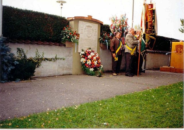
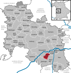
Asbach-Bäumenheim
- municipality of Germany
Asbach-Bäumenheim is a small municipality located in Bavaria, Germany. While it may not be widely recognized for hiking specifically, the surrounding region offers opportunities for outdoor activities, including hiking, especially in the nearby areas....
- Country:

- Postal Code: 86663
- Local Dialing Code: 0906
- Licence Plate Code: DON
- Coordinates: 48° 41' 0" N, 10° 49' 0" E


- GPS tracks (wikiloc): [Link]
- AboveSeaLevel: 404 м m
- Area: 11.89 sq km
- Population: 3747
- Web site: [Link]


Wechingen
- municipality of Germany
Wechingen is a small village located in the Bavarian region of Germany, known for its picturesque landscapes and charming rural setting. Hiking in and around Wechingen offers a variety of options for outdoor enthusiasts, whether you're looking for leisurely strolls or more challenging trails....
- Country:

- Postal Code: 86759
- Local Dialing Code: 09085
- Licence Plate Code: DON
- Coordinates: 48° 54' 0" N, 10° 37' 0" E


- GPS tracks (wikiloc): [Link]
- AboveSeaLevel: 413 м m
- Area: 24.03 sq km
- Population: 1317
- Web site: [Link]


Genderkingen
- municipality of Germany
Genderkingen is a small village located in Bavaria, Germany, which is surrounded by picturesque landscapes, making it an excellent spot for hiking enthusiasts. While it might not be as well-known as larger hiking destinations, it offers opportunities for enjoyable walks and hikes in nature....
- Country:

- Postal Code: 86682
- Local Dialing Code: 09090
- Licence Plate Code: DON
- Coordinates: 48° 42' 28" N, 10° 52' 44" E


- GPS tracks (wikiloc): [Link]
- AboveSeaLevel: 399 м m
- Area: 11.67 sq km
- Population: 1059
- Web site: [Link]


Fünfstetten
- municipality of Germany
Fünfstetten is a small village located in Bavaria, Germany. While it might not be one of the most famous hiking destinations, the surrounding areas offer a delightful experience for hikers, particularly those who enjoy scenic walks through the Bavarian countryside....
- Country:

- Postal Code: 86681
- Local Dialing Code: 09091
- Licence Plate Code: DON
- Coordinates: 48° 49' 0" N, 10° 46' 0" E


- GPS tracks (wikiloc): [Link]
- AboveSeaLevel: 480 м m
- Area: 26.72 sq km
- Population: 1335
- Web site: [Link]
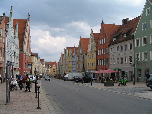

Donauwörth
- town in Bavaria, Germany
Donauwörth, located in Bavaria, Germany, is a picturesque town at the confluence of the Danube and Wörnitz rivers. It's a fantastic base for hiking, featuring a variety of trails that showcase the beautiful landscape of the region....
- Country:

- Postal Code: 86609
- Local Dialing Code: 0906
- Licence Plate Code: DON
- Coordinates: 48° 42' 0" N, 10° 48' 0" E


- GPS tracks (wikiloc): [Link]
- AboveSeaLevel: 410 м m
- Area: 77.02 sq km
- Population: 18550
- Web site: [Link]


Oettingen in Bayern
- municipality of Germany
Oettingen in Bayern is a charming town located in the Swabian region of Bavaria, Germany. The area is characterized by its picturesque landscapes, rolling hills, and a rich historical backdrop, making it a great spot for hiking enthusiasts....
- Country:

- Postal Code: 86729–86732
- Local Dialing Code: 09082
- Licence Plate Code: DON
- Coordinates: 48° 57' 0" N, 10° 35' 0" E


- GPS tracks (wikiloc): [Link]
- AboveSeaLevel: 418 м m
- Area: 34.21 sq km
- Population: 4616
- Web site: [Link]
Brand
- former unincorporated area in Germany
Brand is a stunning gemeindefreies Gebiet (a municipal-free area) located in the northeastern part of the Black Forest in Germany. This region is known for its picturesque landscapes, diverse flora and fauna, and extensive hiking trails, making it a great destination for outdoor enthusiasts....
- Country:

- Coordinates: 48° 35' 0" N, 10° 54' 0" E


- GPS tracks (wikiloc): [Link]
Shares border with regions:


Augsburg
- district in Bavaria, Germany
Augsburg is a city in Bavaria, Germany, known for its rich history and beautiful surroundings, making it a great base for hiking enthusiasts. While the city itself offers various parks and local trails, the surrounding district provides a variety of hiking options for different skill levels. Here are some highlights:...
- Country:

- Capital: Augsburg
- Licence Plate Code: A
- Coordinates: 48° 25' 12" N, 10° 49' 48" E


- GPS tracks (wikiloc): [Link]
- AboveSeaLevel: 521 м m
- Area: 1071.00 sq km
- Population: 191469
- Web site: [Link]


Aichach-Friedberg
- district in Bavaria, Germany
Aichach-Friedberg is a beautiful region located in Bavaria, Germany, known for its diverse landscapes, charming villages, and historical sites. Hiking in this area offers a variety of trails that cater to different skill levels, making it an excellent destination for both novice hikers and experienced outdoor enthusiasts....
- Country:

- Capital: Aichach
- Licence Plate Code: FDB; AIC
- Coordinates: 48° 25' 12" N, 11° 4' 48" E


- GPS tracks (wikiloc): [Link]
- AboveSeaLevel: 483 м m
- Area: 781.00 sq km
- Population: 101792
- Web site: [Link]


Dillingen
- district in Bavaria, Germany
Dillingen, located in Bavaria, Germany, offers a variety of hiking opportunities amidst beautiful landscapes. The district is characterized by rolling hills, lush forests, and scenic views, making it an excellent destination for both casual walkers and serious hikers....
- Country:

- Capital: Dillingen an der Donau
- Licence Plate Code: WER; DLG
- Coordinates: 48° 34' 48" N, 10° 25' 12" E


- GPS tracks (wikiloc): [Link]
- AboveSeaLevel: 425 м m
- Area: 792.00 sq km
- Population: 80209
- Web site: [Link]


Weißenburg-Gunzenhausen
- district of Bavaria, Germany
 Hiking in Weißenburg-Gunzenhausen
Weißenburg-Gunzenhausen, located in Bavaria, Germany, is a great destination for hiking enthusiasts. This region is known for its beautiful landscapes, including hills, lakes, and forests, making it perfect for various outdoor activities....
- Country:

- Capital: Weißenburg in Bayern
- Licence Plate Code: WUG; GUN
- Coordinates: 49° 4' 48" N, 10° 49' 48" E


- GPS tracks (wikiloc): [Link]
- AboveSeaLevel: 452 м m
- Area: 970.83 sq km
- Population: 92331
- Web site: [Link]


Ansbach
- district in Bavaria, Germany
Ansbach district, located in the region of Bavaria, Germany, offers a variety of hiking opportunities suitable for different skill levels. The region is characterized by its picturesque landscapes, including rolling hills, forests, and historical sites, making it a great destination for outdoor enthusiasts....
- Country:

- Capital: Ansbach
- Licence Plate Code: ROT; FEU; DKB; AN
- Coordinates: 49° 19' 48" N, 10° 30' 0" E


- GPS tracks (wikiloc): [Link]
- AboveSeaLevel: 426 м m
- Area: 1972.00 sq km
- Population: 157632
- Web site: [Link]
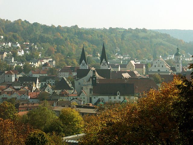
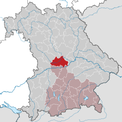
Eichstätt
- district of Bavaria, Germany
Eichstätt, located in Bavaria, Germany, is known for its scenic landscapes, historical towns, and rich natural beauty, making it a fantastic destination for hiking enthusiasts. Here are some highlights and tips for hiking in the Eichstätt district:...
- Country:

- Capital: Eichstätt
- Licence Plate Code: EI
- Coordinates: 48° 55' 12" N, 11° 19' 48" E


- GPS tracks (wikiloc): [Link]
- AboveSeaLevel: 475 м m
- Area: 1214.00 sq km
- Population: 97347
- Web site: [Link]


Neuburg-Schrobenhausen
- district of Bavaria, Germany
 Hiking in Neuburg-Schrobenhausen
Neuburg-Schrobenhausen is a picturesque district in Bavaria, Germany, offering a mix of beautiful landscapes, rich history, and outdoor activities. When it comes to hiking in this area, there are several trails and natural attractions to explore. Here’s what you should know:...
- Country:

- Capital: Neuburg an der Donau
- Licence Plate Code: SOB; ND
- Coordinates: 48° 40' 12" N, 11° 10' 12" E


- GPS tracks (wikiloc): [Link]
- AboveSeaLevel: 378 м m
- Area: 740.00 sq km
- Population: 76493
- Web site: [Link]


Polsingen
- human settlement in Germany
Polsingen is a charming area located in the region of Bavaria, Germany. While it may not be one of the most popular hiking destinations compared to some of the larger national parks, it does offer a variety of scenic trails and opportunities for outdoor activities, making it suitable for hikers of different skill levels....
- Country:

- Postal Code: 91805
- Local Dialing Code: 09093
- Licence Plate Code: WUG
- Coordinates: 48° 56' 0" N, 10° 43' 0" E


- GPS tracks (wikiloc): [Link]
- AboveSeaLevel: 443 м m
- Area: 33.87 sq km
- Population: 1864
- Web site: [Link]


Westheim
- municipality of Germany
Westheim, located in Germany, is an area that typically offers a variety of outdoor activities including hiking. While it may not be as extensively covered as some of the more famous hiking regions in Germany, it possesses its own unique charm and natural beauty. Here are some aspects to consider if you're planning a hiking trip around Westheim:...
- Country:

- Postal Code: 91747
- Local Dialing Code: 09082
- Licence Plate Code: WUG
- Coordinates: 49° 0' 0" N, 10° 40' 0" E


- GPS tracks (wikiloc): [Link]
- AboveSeaLevel: 439 м m
- Area: 28.32 sq km
- Population: 1141
- Web site: [Link]

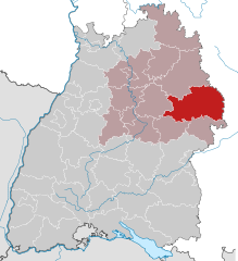
Ostalb
- district of Baden-Württemberg, Germany
Ostalbkreis, located in the state of Baden-Württemberg in Germany, is a fantastic destination for hiking enthusiasts. The region is characterized by its diverse landscapes, which include rolling hills, dense forests, and picturesque valleys, providing a variety of trails suitable for all levels of hikers....
- Country:

- Capital: Aalen
- Licence Plate Code: AA
- Coordinates: 48° 52' 0" N, 10° 6' 0" E


- GPS tracks (wikiloc): [Link]
- AboveSeaLevel: 436 м m
- Area: 1511.57 sq km
- Population: 311587
- Web site: [Link]

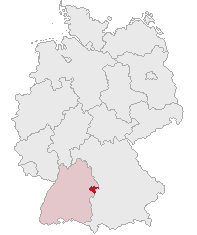
Heidenheim
- district in Baden-Württemberg, Germany
Heidenheim, located in Baden-Württemberg, Germany, is a region that offers a variety of hiking opportunities amidst beautiful landscapes, historical sites, and natural attractions. Here are some aspects to consider when hiking in Heidenheim and its surroundings:...
- Country:

- Licence Plate Code: HDH
- Coordinates: 48° 38' 24" N, 10° 7' 12" E


- GPS tracks (wikiloc): [Link]
- AboveSeaLevel: 599 м m
- Area: 627.13 sq km
- Population: 130527
- Web site: [Link]
