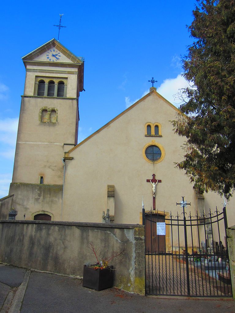
Burtoncourt (Burtoncourt)

- commune in Moselle, France
- Country:

- Postal Code: 57220
- Coordinates: 49° 13' 28" N, 6° 24' 45" E


- GPS tracks (wikiloc): [Link]
- Area: 5.11 sq km
- Population: 196
- Wikipedia en: wiki(en)
- Wikipedia: wiki(fr)
- Wikidata storage: Wikidata: Q21757
- Wikipedia Commons Category: [Link]
- Freebase ID: [/m/03qdx0h]
- Freebase ID: [/m/03qdx0h]
- GeoNames ID: Alt: [6437427]
- GeoNames ID: Alt: [6437427]
- SIREN number: [215701210]
- SIREN number: [215701210]
- BnF ID: [152656307]
- BnF ID: [152656307]
- INSEE municipality code: 57121
- INSEE municipality code: 57121
Shares border with regions:


Charleville-sous-Bois
- commune in Moselle, France
- Country:
- Postal Code: 57220
- Coordinates: 49° 11' 22" N, 6° 24' 43" E
- GPS tracks (wikiloc): [Link]
- Area: 12.82 sq km
- Population: 294


Mégange
- commune in Moselle, France
- Country:
- Postal Code: 57220
- Coordinates: 49° 13' 5" N, 6° 26' 8" E
- GPS tracks (wikiloc): [Link]
- Area: 4.96 sq km
- Population: 169

Guinkirchen
- commune in Moselle, France
- Country:
- Postal Code: 57220
- Coordinates: 49° 12' 23" N, 6° 27' 1" E
- GPS tracks (wikiloc): [Link]
- Area: 5.15 sq km
- Population: 156


Piblange
- commune in Moselle, France
- Country:
- Postal Code: 57220
- Coordinates: 49° 14' 48" N, 6° 25' 7" E
- GPS tracks (wikiloc): [Link]
- AboveSeaLevel: 235 м m
- Area: 9.59 sq km
- Population: 1027

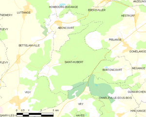
Saint-Hubert
- commune in Moselle, France
- Country:
- Postal Code: 57640
- Coordinates: 49° 13' 26" N, 6° 19' 59" E
- GPS tracks (wikiloc): [Link]
- AboveSeaLevel: 220 м m
- Area: 16.04 sq km
- Population: 224
- Web site: [Link]