Bussy-Albieux (Bussy-Albieux)

- commune in Loire, France
- Country:

- Postal Code: 42260
- Coordinates: 45° 47' 35" N, 4° 2' 1" E


- GPS tracks (wikiloc): [Link]
- Area: 19.65 sq km
- Population: 535
- Web site: http://www.bussy-albieux.fr
- Wikipedia en: wiki(en)
- Wikipedia: wiki(fr)
- Wikidata storage: Wikidata: Q1068664
- Wikipedia Commons Category: [Link]
- Freebase ID: [/m/03nw5cw]
- Freebase ID: [/m/03nw5cw]
- GeoNames ID: Alt: [6448967]
- GeoNames ID: Alt: [6448967]
- SIREN number: [214200305]
- SIREN number: [214200305]
- BnF ID: [152596002]
- BnF ID: [152596002]
- INSEE municipality code: 42030
- INSEE municipality code: 42030
Shares border with regions:
Cezay
- commune in Loire, France
- Country:
- Postal Code: 42130
- Coordinates: 45° 48' 7" N, 3° 57' 47" E
- GPS tracks (wikiloc): [Link]
- Area: 10.52 sq km
- Population: 223


Saint-Sixte
- commune in Loire, France
- Country:
- Postal Code: 42130
- Coordinates: 45° 46' 33" N, 3° 58' 56" E
- GPS tracks (wikiloc): [Link]
- Area: 15.35 sq km
- Population: 722
- Web site: [Link]


Saint-Germain-Laval
- commune in Loire, France
- Country:
- Postal Code: 42260
- Coordinates: 45° 49' 49" N, 4° 0' 45" E
- GPS tracks (wikiloc): [Link]
- Area: 17.08 sq km
- Population: 1648
- Web site: [Link]
Nollieux
- commune in Loire, France
- Country:
- Postal Code: 42260
- Coordinates: 45° 48' 59" N, 3° 59' 49" E
- GPS tracks (wikiloc): [Link]
- Area: 6.95 sq km
- Population: 194

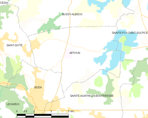
Arthun
- commune in Loire, France
- Country:
- Postal Code: 42130
- Coordinates: 45° 46' 23" N, 4° 2' 2" E
- GPS tracks (wikiloc): [Link]
- Area: 13.88 sq km
- Population: 563
- Web site: [Link]

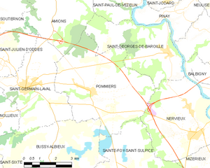
Pommiers
- commune in Loire, France
- Country:
- Postal Code: 42260
- Coordinates: 45° 49' 45" N, 4° 3' 55" E
- GPS tracks (wikiloc): [Link]
- Area: 23.84 sq km
- Population: 362
- Web site: [Link]


Sainte-Foy-Saint-Sulpice
- commune in Loire, France
- Country:
- Postal Code: 42110
- Coordinates: 45° 46' 8" N, 4° 7' 45" E
- GPS tracks (wikiloc): [Link]
- Area: 29.12 sq km
- Population: 520
- Web site: [Link]