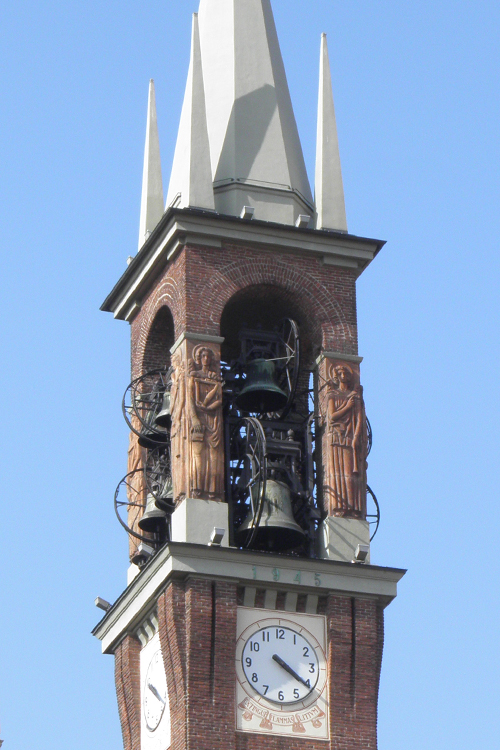
Busto Garolfo (Busto Garolfo)
.svg)
- Italian comune
 Hiking in Busto Garolfo
Busto Garolfo is a small town located in the Lombardy region of Italy, just northwest of Milan. While it may not be as widely known for hiking as larger national parks or mountainous areas, there are still several opportunities for outdoor activities in and around the region. Here are some key points about hiking in Busto Garolfo:
1.
- The region around Busto Garolfo features several trails that offer scenic views of the countryside, fields, and nearby woodlands. These paths can be perfect for both casual walkers and more experienced hikers.
2.
- Not far from Busto Garolfo, you can find parks and natural reserves that may have designated hiking trails. The Parco del Roccolo is one such area, where you can enjoy easier trails and experience local flora and fauna.
3.
- Hiking in the area provides an opportunity to observe a mix of agricultural landscapes as well as natural vegetation. You might encounter typical regional wildlife and a variety of bird species.
4.
- Consider connecting with local hiking clubs or groups, which often organize group outings, events, and guided hikes. This can be a great way to learn more about the area and enjoy hiking with others.
5.
- Busto Garolfo is conveniently located near larger natural areas and parks such as the Parco dei Laghi (Lake Park) or the Prealpi Lombarde if you're willing to travel a bit further. These regions offer more extensive hiking options with beautiful mountain scenery.
6.
- Always check the weather conditions before heading out, wear appropriate hiking gear, and ensure you have enough water and snacks. Some paths might be less marked, so a map or GPS could be helpful.
Conclusion
While Busto Garolfo may not be a renowned hiking destination in itself, it serves as a convenient base for exploring the quieter parts of Lombardy and discovering charming rural landscapes. Whether you choose to explore local trails or venture farther afield, there are plenty of options for a rewarding hiking experience.
- Country:

- Postal Code: 20020
- Local Dialing Code: 0331
- Licence Plate Code: MI
- Coordinates: 45° 32' 52" N, 8° 53' 12" E


- GPS tracks (wikiloc): [Link]
- AboveSeaLevel: 180 м m
- Area: 12.99 sq km
- Population: 13850
- Web site: http://www.comune.bustogarolfo.mi.it/
- Wikipedia en: wiki(en)
- Wikipedia: wiki(it)
- Wikidata storage: Wikidata: Q42577
- Wikipedia Commons Category: [Link]
- Freebase ID: [/m/0gj53c]
- GeoNames ID: Alt: [6537114]
- VIAF ID: Alt: [235200096]
- OSM relation ID: [45252]
- WOEID: [711577]
- TGN ID: [7005927]
- UN/LOCODE: [ITBUG]
- Gran Enciclopèdia Catalana ID: [0264073]
- ISTAT ID: 015041
- Italian cadastre code: B301
Shares border with regions:


Villa Cortese
- Italian comune
Hiking in Villa Cortese
Villa Cortese, a charming town in the Lombardy region of Italy, is surrounded by beautiful landscapes that are perfect for hiking enthusiasts. While the town itself may not have extensive hiking trails, the surrounding areas offer several opportunities for picturesque hikes. Here are some highlights to consider when hiking near Villa Cortese:...
- Country:
- Postal Code: 20020
- Local Dialing Code: 0331
- Licence Plate Code: MI
- Coordinates: 45° 34' 0" N, 8° 53' 0" E
- GPS tracks (wikiloc): [Link]
- AboveSeaLevel: 192 м m
- Area: 3.55 sq km
- Population: 6214
- Web site: [Link]

Inveruno
- Italian comune
Hiking in Inveruno
Inveruno, a small town located in the Lombardy region of Italy, may not be the first destination that comes to mind for hiking, but it does offer some charming routes and nearby areas that can be explored on foot. While the town itself is more suburban and agricultural, here are some tips for hiking around Inveruno and in the surrounding areas:...
- Country:
- Postal Code: 20010
- Local Dialing Code: 02
- Licence Plate Code: MI
- Coordinates: 45° 31' 0" N, 8° 51' 0" E
- GPS tracks (wikiloc): [Link]
- AboveSeaLevel: 161 м m
- Area: 12.14 sq km
- Population: 8608
- Web site: [Link]
Dairago
- Italian comune
Hiking in Dairago
Dairago is a small town located in the Lombardy region of Italy, not far from Milan. While Dairago itself might not be known as a major hiking destination, there are opportunities for outdoor activities in the surrounding areas....
- Country:
- Postal Code: 20020
- Local Dialing Code: 0331
- Licence Plate Code: MI
- Coordinates: 45° 34' 12" N, 8° 51' 59" E
- GPS tracks (wikiloc): [Link]
- AboveSeaLevel: 196 м m
- Area: 5.64 sq km
- Population: 6355
- Web site: [Link]
Casorezzo
- Italian comune
Hiking in Casorezzo
Casorezzo is a small town located in the Lombardy region of Italy, not far from larger cities like Milan. While it may not be a widely recognized hiking destination, there are still opportunities for walking and enjoying the outdoors in the surrounding areas....
- Country:
- Postal Code: 20010
- Local Dialing Code: 02
- Licence Plate Code: MI
- Coordinates: 45° 31' 0" N, 8° 54' 0" E
- GPS tracks (wikiloc): [Link]
- AboveSeaLevel: 166 м m
- Area: 6.6 sq km
- Population: 5467
- Web site: [Link]


Parabiago
- Italian comune
Hiking in Parabiago
Parabiago, a town in the Lombardy region of Italy, is surrounded by scenic landscapes that offer various opportunities for hiking and outdoor activities. While Parabiago itself is not a major hiking destination, it is well-positioned to access trails and natural areas in the nearby regions. Here are some insights about hiking in and around Parabiago:...
- Country:
- Postal Code: 20015
- Local Dialing Code: 0331
- Licence Plate Code: MI
- Coordinates: 45° 33' 30" N, 8° 56' 52" E
- GPS tracks (wikiloc): [Link]
- AboveSeaLevel: 184 м m
- Area: 14.29 sq km
- Population: 27747
- Web site: [Link]
Arconate
- Italian comune
Hiking in Arconate
Arconate is a town located in the Lombardy region of Italy, near the larger metropolitan areas of Milan and Novara. While Arconate itself is not traditionally recognized as a major hiking destination, its proximity to various natural areas and parks makes it a great base for those looking to explore the beautiful landscapes of Lombardy....
- Country:
- Postal Code: 20020
- Local Dialing Code: 0331
- Licence Plate Code: MI
- Coordinates: 45° 32' 0" N, 8° 51' 0" E
- GPS tracks (wikiloc): [Link]
- AboveSeaLevel: 180 м m
- Area: 8.42 sq km
- Population: 6700
- Web site: [Link]


San Giorgio su Legnano
- Italian comune
Hiking in San Giorgio su Legnano
San Giorgio su Legnano is a charming town located in the Lombardy region of Italy, just northwest of Milan. While it may not be as well-known for hiking as other Italian destinations, there are several outdoor activities and trails nearby that can be explored for a delightful hiking experience....
- Country:
- Postal Code: 20010
- Local Dialing Code: 0331
- Licence Plate Code: MI
- Coordinates: 45° 34' 0" N, 8° 55' 0" E
- GPS tracks (wikiloc): [Link]
- AboveSeaLevel: 198 м m
- Area: 2.17 sq km
- Population: 6794
- Web site: [Link]


Canegrate
- comune in Province of Milan
Hiking in Canegrate
Canegrate is a town in the Lombardy region of Italy, located near Milan. While it may not be as well-known for hiking as some of the more mountainous areas in the region, there are still opportunities for outdoor activities and walking trails in and around Canegrate....
- Country:
- Postal Code: 20010
- Local Dialing Code: 0331
- Licence Plate Code: MI
- Coordinates: 45° 34' 0" N, 8° 56' 0" E
- GPS tracks (wikiloc): [Link]
- AboveSeaLevel: 196 м m
- Area: 5.25 sq km
- Population: 12574
- Web site: [Link]