
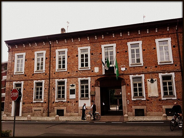
San Giorgio su Legnano (San Giorgio su Legnano)
.svg)
- Italian comune
 Hiking in San Giorgio su Legnano
San Giorgio su Legnano is a charming town located in the Lombardy region of Italy, just northwest of Milan. While it may not be as well-known for hiking as other Italian destinations, there are several outdoor activities and trails nearby that can be explored for a delightful hiking experience.
Hiking Opportunities in and Around San Giorgio su Legnano:
-
Local Trails: The area around San Giorgio su Legnano has several walking and biking paths that provide a beautiful view of the surrounding countryside. These paths typically traverse through fields and woodlands, offering a peaceful escape into nature.
-
Parco del Roccolo: Located relatively close to San Giorgio, Parco del Roccolo features more organized trails and picnic areas. It presents an opportunity to enjoy nature with well-marked paths and amenities for hikers and families.
-
Parco delle Groane: A larger natural park not too far from San Giorgio su Legnano, the Parco delle Groane boasts a network of trails weaving through diverse landscapes, including forests, wetlands, and meadows. It's perfect for hiking, birdwatching, and experiencing local flora and fauna.
-
Naviglio Grande: While not a traditional hiking trail, walking alongside the Naviglio Grande canal can provide a pleasant urban hike, allowing you to appreciate the historical context of the area. The path is generally flat and easy to walk.
-
Day Trips to Regional Parks: For more extensive hiking experiences, consider day trips to nearby regional parks such as Parco Nazionale della Valle del Ticino or the hills around Lago Maggiore. These areas offer more challenging hikes and breathtaking views.
Tips for Hiking in the Area:
- Footwear: Wear comfortable hiking boots or shoes, as some trails might be uneven or muddy.
- Local Weather: Check the weather before heading out, as conditions can change rapidly, especially in the spring and autumn.
- Stay Hydrated: Carry water and snacks, especially for longer hikes or if you plan to spend a day in a park.
- Map and Navigation: While many paths are well-marked, having a map or GPS can be useful, particularly in more remote areas.
Conclusion:
While San Giorgio su Legnano might not be the first name that comes to mind for hiking in Italy, the surrounding countryside offers pleasant trails and natural beauty. Whether you're a local or visiting the region, you can find enjoyable hikes that suit various skill levels. Enjoy your hiking adventure!
- Country:

- Postal Code: 20010
- Local Dialing Code: 0331
- Licence Plate Code: MI
- Coordinates: 45° 34' 0" N, 8° 55' 0" E


- GPS tracks (wikiloc): [Link]
- AboveSeaLevel: 198 м m
- Area: 2.17 sq km
- Population: 6794
- Web site: http://www.sangiorgiosl.org
- Wikipedia en: wiki(en)
- Wikipedia: wiki(it)
- Wikidata storage: Wikidata: Q43039
- Wikipedia Commons Gallery: [Link]
- Wikipedia Commons Category: [Link]
- Freebase ID: [/m/0gj7fm]
- GeoNames ID: Alt: [6543136]
- VIAF ID: Alt: [297557662]
- OSM relation ID: [45330]
- UN/LOCODE: [ITSSE]
- ISTAT ID: 015194
- Italian cadastre code: H884
Shares border with regions:


Villa Cortese
- Italian comune
Hiking in Villa Cortese
Villa Cortese, a charming town in the Lombardy region of Italy, is surrounded by beautiful landscapes that are perfect for hiking enthusiasts. While the town itself may not have extensive hiking trails, the surrounding areas offer several opportunities for picturesque hikes. Here are some highlights to consider when hiking near Villa Cortese:...
- Country:
- Postal Code: 20020
- Local Dialing Code: 0331
- Licence Plate Code: MI
- Coordinates: 45° 34' 0" N, 8° 53' 0" E
- GPS tracks (wikiloc): [Link]
- AboveSeaLevel: 192 м m
- Area: 3.55 sq km
- Population: 6214
- Web site: [Link]

Busto Garolfo
- Italian comune
Hiking in Busto Garolfo
Busto Garolfo is a small town located in the Lombardy region of Italy, just northwest of Milan. While it may not be as widely known for hiking as larger national parks or mountainous areas, there are still several opportunities for outdoor activities in and around the region. Here are some key points about hiking in Busto Garolfo:...
- Country:
- Postal Code: 20020
- Local Dialing Code: 0331
- Licence Plate Code: MI
- Coordinates: 45° 32' 52" N, 8° 53' 12" E
- GPS tracks (wikiloc): [Link]
- AboveSeaLevel: 180 м m
- Area: 12.99 sq km
- Population: 13850
- Web site: [Link]


Legnano
- Italian comune
Hiking in Legnano
Legnano, located in the Lombardy region of Italy, is surrounded by beautiful landscapes that offer various hiking opportunities. The area is rich in natural beauty, featuring rolling hills, valleys, and scenic views, as well as historical sites and charming towns....
- Country:
- Postal Code: 20025
- Local Dialing Code: 0331
- Licence Plate Code: MI
- Coordinates: 45° 35' 49" N, 8° 54' 32" E
- GPS tracks (wikiloc): [Link]
- AboveSeaLevel: 199 м m
- Area: 17.68 sq km
- Population: 60259
- Web site: [Link]


Canegrate
- comune in Province of Milan
Hiking in Canegrate
Canegrate is a town in the Lombardy region of Italy, located near Milan. While it may not be as well-known for hiking as some of the more mountainous areas in the region, there are still opportunities for outdoor activities and walking trails in and around Canegrate....
- Country:
- Postal Code: 20010
- Local Dialing Code: 0331
- Licence Plate Code: MI
- Coordinates: 45° 34' 0" N, 8° 56' 0" E
- GPS tracks (wikiloc): [Link]
- AboveSeaLevel: 196 м m
- Area: 5.25 sq km
- Population: 12574
- Web site: [Link]