canton of Aigurande (canton d'Aigurande)
- canton of France (until March 2015)
- Country:

- Capital: Aigurande
- Coordinates: 46° 26' 5" N, 1° 49' 47" E


- GPS tracks (wikiloc): [Link]
- Wikidata storage: Wikidata: Q720217
- Wikipedia Commons Category: [Link]
- INSEE canton code: [3601]
Includes regions:


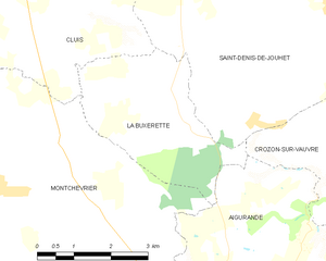
La Buxerette
- commune in Indre, France
- Country:

- Postal Code: 36140
- Coordinates: 46° 29' 41" N, 1° 48' 8" E


- GPS tracks (wikiloc): [Link]
- Area: 10.99 sq km
- Population: 104


Saint-Denis-de-Jouhet
- commune in Indre, France
- Country:

- Postal Code: 36230
- Coordinates: 46° 31' 50" N, 1° 52' 7" E


- GPS tracks (wikiloc): [Link]
- Area: 43.48 sq km
- Population: 965
- Web site: [Link]


Saint-Plantaire
- commune in Indre, France
- Country:

- Postal Code: 36190
- Coordinates: 46° 27' 26" N, 1° 40' 13" E


- GPS tracks (wikiloc): [Link]
- Area: 34.07 sq km
- Population: 584
- Web site: [Link]


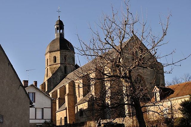
Aigurande
- commune in Indre, France
- Country:

- Postal Code: 36140
- Coordinates: 46° 26' 3" N, 1° 49' 44" E


- GPS tracks (wikiloc): [Link]
- Area: 27.77 sq km
- Population: 1458
- Web site: [Link]


Crozon-sur-Vauvre
- commune in Indre, France
- Country:

- Postal Code: 36140
- Coordinates: 46° 29' 19" N, 1° 52' 13" E


- GPS tracks (wikiloc): [Link]
- Area: 27.69 sq km
- Population: 345


Montchevrier
- commune in Indre, France
- Country:

- Postal Code: 36140
- Coordinates: 46° 28' 50" N, 1° 44' 33" E


- GPS tracks (wikiloc): [Link]
- Area: 34.7 sq km
- Population: 459


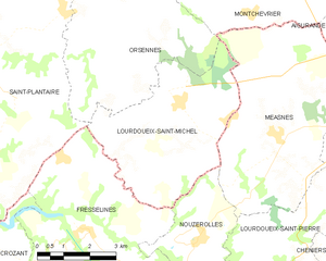
Lourdoueix-Saint-Michel
- commune in Indre, France
- Country:

- Postal Code: 36140
- Coordinates: 46° 25' 36" N, 1° 43' 48" E


- GPS tracks (wikiloc): [Link]
- Area: 19.67 sq km
- Population: 325


Crevant
- commune in Indre, France
- Country:

- Postal Code: 36140
- Coordinates: 46° 29' 11" N, 1° 56' 48" E


- GPS tracks (wikiloc): [Link]
- Area: 36.54 sq km
- Population: 722
- Web site: [Link]


Orsennes
- commune in Indre, France
- Country:

- Postal Code: 36190
- Coordinates: 46° 28' 33" N, 1° 40' 58" E


- GPS tracks (wikiloc): [Link]
- Area: 49.28 sq km
- Population: 772
- Web site: [Link]