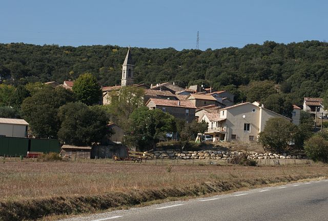
canton of Alès-Nord-Est (canton d'Alès-Nord-Est)
- canton of France
- Country:

- Capital: Alès
- Coordinates: 44° 7' 41" N, 4° 4' 54" E


- GPS tracks (wikiloc): [Link]
- Wikidata storage: Wikidata: Q1724102
- INSEE canton code: [3002]
Includes regions:


Rousson
- commune in Gard, France
- Country:

- Postal Code: 30340
- Coordinates: 44° 10' 43" N, 4° 9' 0" E


- GPS tracks (wikiloc): [Link]
- Area: 32.57 sq km
- Population: 4034


Saint-Julien-les-Rosiers
- commune in Gard, France
- Country:

- Postal Code: 30340
- Coordinates: 44° 10' 26" N, 4° 6' 33" E


- GPS tracks (wikiloc): [Link]
- Area: 14.01 sq km
- Population: 3311


Saint-Martin-de-Valgalgues
- commune in Gard, France
- Country:

- Postal Code: 30520
- Coordinates: 44° 9' 47" N, 4° 4' 56" E


- GPS tracks (wikiloc): [Link]
- Area: 13.11 sq km
- Population: 4313
- Web site: [Link]