arrondissement of Alès (arrondissement d'Alès)

- arrondissement of France
- Country:

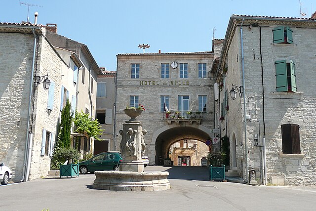
- Capital: Alès
- Coordinates: 44° 10' 0" N, 4° 5' 0" E


- GPS tracks (wikiloc): [Link]
- Area: 1322 sq km
- Population: 147609
- Wikipedia en: wiki(en)
- Wikipedia: wiki(fr)
- Wikidata storage: Wikidata: Q700396
- Freebase ID: [/m/095k4n]
- GeoNames ID: Alt: [3038223]
- INSEE arrondissement code: [301]
- GNS Unique Feature ID: -1407073
Includes regions:

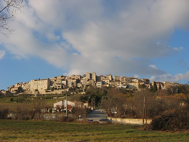
canton of Saint-Jean-du-Gard
- canton of France (until March 2015)
- Country:
- Capital: Saint-Jean-du-Gard
- Coordinates: 44° 6' 0" N, 3° 53' 0" E
- GPS tracks (wikiloc): [Link]


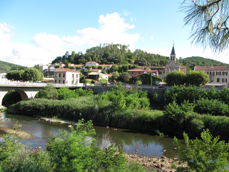
canton of Vézénobres
- canton of France
- Country:
- Capital: Vézénobres
- Coordinates: 44° 3' 0" N, 4° 9' 0" E
- GPS tracks (wikiloc): [Link]

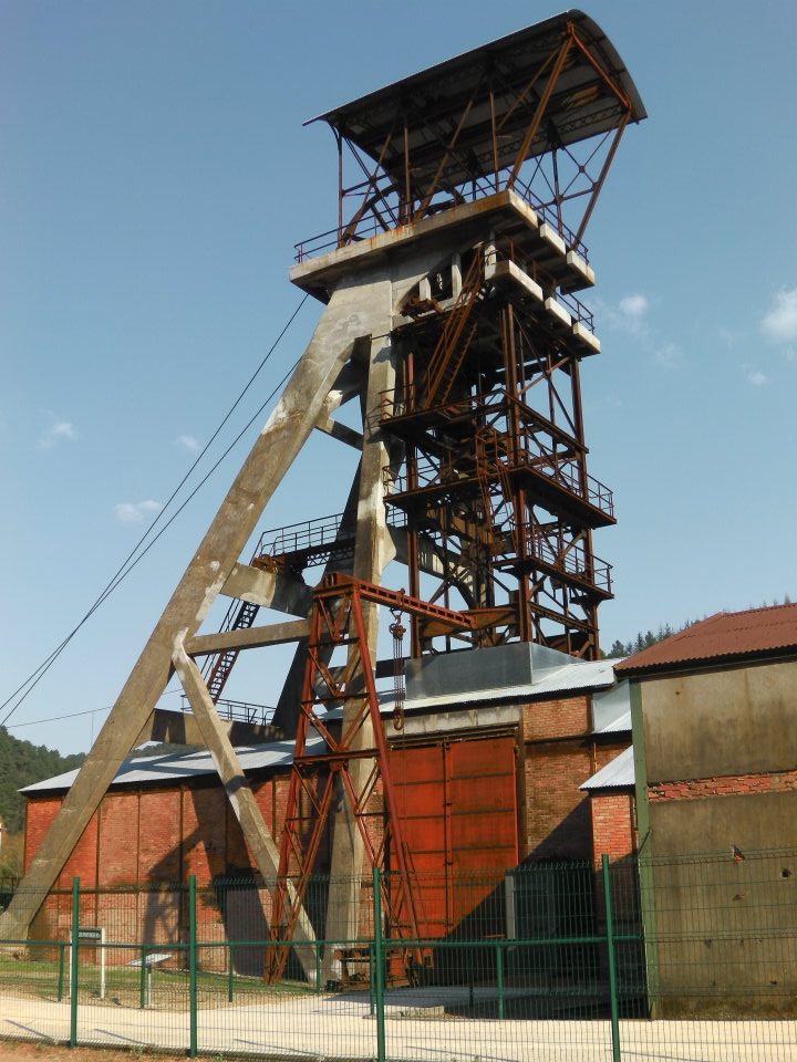

canton of La Grand-Combe
- canton of France
- Country:
- Capital: La Grand-Combe
- Coordinates: 44° 13' 0" N, 4° 2' 0" E
- GPS tracks (wikiloc): [Link]
- Population: 21855


canton of Saint-Ambroix
- canton of France (until March 2015)
- Country:
- Capital: Saint-Ambroix
- Coordinates: 44° 15' 0" N, 4° 11' 0" E
- GPS tracks (wikiloc): [Link]