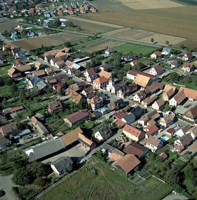
canton of Andolsheim (canton d'Andolsheim)
- canton of France (until March 2015)
- Country:

- Capital: Andolsheim
- Coordinates: 48° 4' 0" N, 7° 25' 0" E


- GPS tracks (wikiloc): [Link]
- Wikidata storage: Wikidata: Q1398692
- INSEE canton code: [6802]
Includes regions:
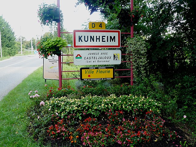
Kunheim
- commune in Haut-Rhin, France
- Country:
- Postal Code: 68320
- Coordinates: 48° 4' 35" N, 7° 32' 4" E
- GPS tracks (wikiloc): [Link]
- Area: 11.75 sq km
- Population: 1758
- Web site: [Link]


Urschenheim
- commune in Haut-Rhin, France
- Country:
- Postal Code: 68320
- Coordinates: 48° 5' 10" N, 7° 29' 10" E
- GPS tracks (wikiloc): [Link]
- Area: 6.42 sq km
- Population: 710
- Web site: [Link]


Muntzenheim
- commune in Haut-Rhin, France
- Country:
- Postal Code: 68320
- Coordinates: 48° 6' 8" N, 7° 28' 25" E
- GPS tracks (wikiloc): [Link]
- Area: 6.48 sq km
- Population: 1192
- Web site: [Link]


Riedwihr
- former commune in Haut-Rhin, France
- Country:
- Postal Code: 68320
- Coordinates: 48° 7' 36" N, 7° 26' 42" E
- GPS tracks (wikiloc): [Link]
- Area: 3.04 sq km
- Population: 411
- Web site: [Link]

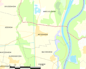
Artzenheim
- commune in Haut-Rhin, France
- Country:
- Postal Code: 68320
- Coordinates: 48° 6' 55" N, 7° 32' 29" E
- GPS tracks (wikiloc): [Link]
- AboveSeaLevel: 186 м m
- Area: 9.69 sq km
- Population: 830
- Web site: [Link]

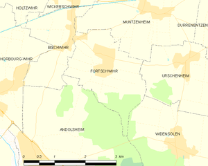
Fortschwihr
- commune in Haut-Rhin, France
- Country:
- Postal Code: 68320
- Coordinates: 48° 5' 21" N, 7° 27' 3" E
- GPS tracks (wikiloc): [Link]
- Area: 4.78 sq km
- Population: 1141
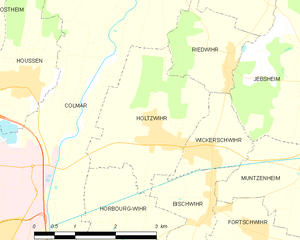
Holtzwihr
- former commune in Haut-Rhin, France
- Country:
- Postal Code: 68320
- Coordinates: 48° 6' 45" N, 7° 25' 14" E
- GPS tracks (wikiloc): [Link]
- Area: 6.45 sq km
- Population: 1344
- Web site: [Link]


Bischwihr
- commune in Haut-Rhin, France
- Country:
- Postal Code: 68320
- Coordinates: 48° 5' 46" N, 7° 26' 13" E
- GPS tracks (wikiloc): [Link]
- Area: 3.23 sq km
- Population: 964


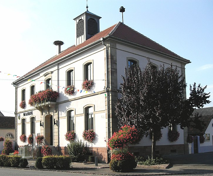
Andolsheim
- commune in Haut-Rhin, France
- Country:
- Postal Code: 68280
- Coordinates: 48° 3' 45" N, 7° 25' 1" E
- GPS tracks (wikiloc): [Link]
- Area: 11.6 sq km
- Population: 2170


Baltzenheim
- commune in Haut-Rhin, France
- Country:
- Postal Code: 68320
- Coordinates: 48° 5' 38" N, 7° 33' 21" E
- GPS tracks (wikiloc): [Link]
- Area: 6.52 sq km
- Population: 581
- Web site: [Link]


Grussenheim
- commune in Haut-Rhin, France
- Country:
- Postal Code: 68320
- Coordinates: 48° 8' 47" N, 7° 29' 15" E
- GPS tracks (wikiloc): [Link]
- Area: 7.53 sq km
- Population: 808

Durrenentzen
- commune in Haut-Rhin, France
- Country:
- Postal Code: 68320
- Coordinates: 48° 5' 33" N, 7° 30' 10" E
- GPS tracks (wikiloc): [Link]
- Area: 6.22 sq km
- Population: 886

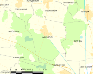
Widensolen
- commune in Haut-Rhin, France
- Country:
- Postal Code: 68320
- Coordinates: 48° 3' 45" N, 7° 28' 48" E
- GPS tracks (wikiloc): [Link]
- Area: 10.67 sq km
- Population: 1190

Wickerschwihr
- commune in Haut-Rhin, France
- Country:
- Postal Code: 68320
- Coordinates: 48° 6' 27" N, 7° 26' 10" E
- GPS tracks (wikiloc): [Link]
- Area: 2.25 sq km
- Population: 753


Sundhoffen
- commune in Haut-Rhin, France
- Country:
- Postal Code: 68280
- Coordinates: 48° 2' 36" N, 7° 24' 49" E
- GPS tracks (wikiloc): [Link]
- Area: 12.75 sq km
- Population: 1955

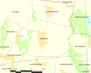
Jebsheim
- commune in Haut-Rhin, France
- Country:
- Postal Code: 68320
- Coordinates: 48° 7' 25" N, 7° 28' 36" E
- GPS tracks (wikiloc): [Link]
- Area: 14.85 sq km
- Population: 1358


Houssen
- commune in Haut-Rhin, France
- Country:
- Postal Code: 68125
- Coordinates: 48° 7' 32" N, 7° 22' 41" E
- GPS tracks (wikiloc): [Link]
- Area: 6.7 sq km
- Population: 2081

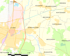
Horbourg-Wihr
- commune in Haut-Rhin, France
- Country:
- Postal Code: 68180
- Coordinates: 48° 4' 46" N, 7° 23' 40" E
- GPS tracks (wikiloc): [Link]
- AboveSeaLevel: 186 м m
- Area: 9.42 sq km
- Population: 5709
- Web site: [Link]