canton of Bourgueil (canton de Bourgueil)
- canton of France
- Country:

- Capital: Bourgueil
- Coordinates: 47° 18' 4" N, 0° 11' 15" E


- GPS tracks (wikiloc): [Link]
- Wikidata storage: Wikidata: Q1724580
- INSEE canton code: [3704]
Includes regions:

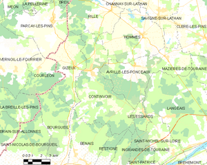
Continvoir
- commune in Indre-et-Loire, France
- Country:
- Postal Code: 37340
- Coordinates: 47° 23' 18" N, 0° 13' 14" E
- GPS tracks (wikiloc): [Link]
- Area: 41.19 sq km
- Population: 420
- Web site: [Link]
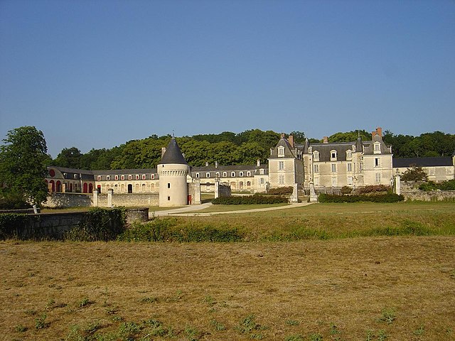

Gizeux
- commune in Indre-et-Loire, France
- Country:
- Postal Code: 37340
- Coordinates: 47° 23' 33" N, 0° 11' 43" E
- GPS tracks (wikiloc): [Link]
- Area: 21.06 sq km
- Population: 409
- Web site: [Link]


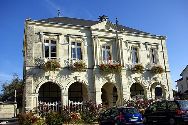
Bourgueil
- commune in Indre-et-Loire, France
- Country:
- Postal Code: 37140
- Coordinates: 47° 16' 55" N, 0° 10' 6" E
- GPS tracks (wikiloc): [Link]
- Area: 32.95 sq km
- Population: 3896
- Web site: [Link]


Benais
- commune in Indre-et-Loire, France
- Country:
- Postal Code: 37140
- Coordinates: 47° 17' 47" N, 0° 12' 52" E
- GPS tracks (wikiloc): [Link]
- Area: 20.08 sq km
- Population: 949
- Web site: [Link]

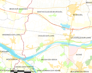
Chouzé-sur-Loire
- commune in Indre-et-Loire, France
- Country:
- Postal Code: 37140
- Coordinates: 47° 14' 11" N, 0° 7' 37" E
- GPS tracks (wikiloc): [Link]
- Area: 28.04 sq km
- Population: 2097
- Web site: [Link]


Saint-Nicolas-de-Bourgueil
- commune in Indre-et-Loire, France
- Country:
- Postal Code: 37140
- Coordinates: 47° 17' 4" N, 0° 7' 32" E
- GPS tracks (wikiloc): [Link]
- Area: 36.45 sq km
- Population: 1119
- Web site: [Link]

Restigné
- commune in Indre-et-Loire, France
- Country:
- Postal Code: 37140
- Coordinates: 47° 16' 53" N, 0° 13' 42" E
- GPS tracks (wikiloc): [Link]
- Area: 21.31 sq km
- Population: 1262
- Web site: [Link]

La Chapelle-sur-Loire
- commune in Indre-et-Loire, France
- Country:
- Postal Code: 37140
- Coordinates: 47° 14' 55" N, 0° 13' 26" E
- GPS tracks (wikiloc): [Link]
- Area: 19.17 sq km
- Population: 1453
- Web site: [Link]